286 Flicker Rd Friday Harbor, WA 98250
Estimated Value: $1,205,000 - $2,893,463
2
Beds
3
Baths
2,766
Sq Ft
$741/Sq Ft
Est. Value
About This Home
This home is located at 286 Flicker Rd, Friday Harbor, WA 98250 and is currently estimated at $2,049,232, approximately $740 per square foot. 286 Flicker Rd is a home with nearby schools including Friday Harbor Elementary School, Friday Harbor Middle School, and Friday Harbor High School.
Ownership History
Date
Name
Owned For
Owner Type
Purchase Details
Closed on
Oct 20, 2008
Sold by
Hubbard Shaun Alice
Bought by
Kawaguchi Harold H
Current Estimated Value
Purchase Details
Closed on
Feb 9, 2007
Sold by
Hubbard Shaun Alice
Bought by
J Lawson Family Llc
Purchase Details
Closed on
Jun 2, 2005
Sold by
Hubbard Shaun Alice
Bought by
Neff Deborah L
Purchase Details
Closed on
May 25, 2005
Sold by
Neff Deborah L
Bought by
Hubbard Shaun Alice
Create a Home Valuation Report for This Property
The Home Valuation Report is an in-depth analysis detailing your home's value as well as a comparison with similar homes in the area
Home Values in the Area
Average Home Value in this Area
Purchase History
| Date | Buyer | Sale Price | Title Company |
|---|---|---|---|
| Kawaguchi Harold H | -- | None Available | |
| J Lawson Family Llc | -- | Chicago Title Co | |
| Neff Deborah L | -- | -- | |
| Hubbard Shaun Alice | -- | -- |
Source: Public Records
Tax History Compared to Growth
Tax History
| Year | Tax Paid | Tax Assessment Tax Assessment Total Assessment is a certain percentage of the fair market value that is determined by local assessors to be the total taxable value of land and additions on the property. | Land | Improvement |
|---|---|---|---|---|
| 2024 | $13,403 | $2,349,280 | $786,690 | $1,562,590 |
| 2023 | $13,403 | $2,366,730 | $786,690 | $1,580,040 |
| 2022 | $14,118 | $1,965,950 | $644,220 | $1,321,730 |
| 2021 | $13,651 | $1,930,110 | $460,160 | $1,469,950 |
| 2020 | $13,113 | $1,883,210 | $460,160 | $1,423,050 |
| 2019 | $11,462 | $1,768,810 | $460,160 | $1,308,650 |
| 2018 | $10,721 | $2,143,010 | $1,549,410 | $593,600 |
| 2017 | $8,688 | $1,323,820 | $383,470 | $940,350 |
| 2016 | $8,470 | $1,133,630 | $402,630 | $731,000 |
| 2015 | $8,470 | $1,138,540 | $402,630 | $735,910 |
| 2014 | $8,470 | $1,193,160 | $366,030 | $827,130 |
| 2012 | $8,470 | $1,026,520 | $366,030 | $660,490 |
Source: Public Records
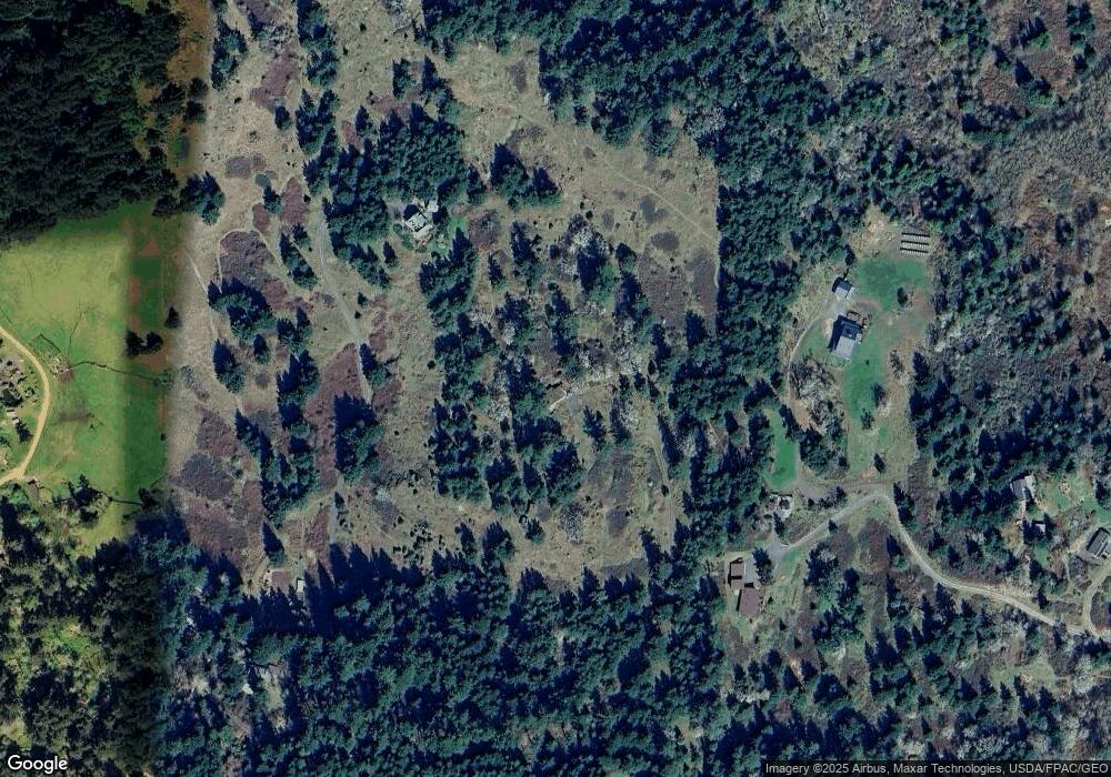
Map
Nearby Homes
- 0 Cady Mountain Rd Unit NWM2359002
- 57 Skottowe Ln
- 1087 Cady Mountain Rd
- 185 Lucky Way
- 0 Egg Lake Rd Unit NWM2407890
- 230 Middle Fork Rd
- 60 Miller Rd
- 0 Woodpecker Ln
- 2001 Mount Dallas Rd
- 0 Prohaska Rd Unit NWM2444513
- 324 Gill Ln
- 289 Alaska Place
- 437 Woodpecker Ln
- 32 Rascal Rd
- 133 Rockledge Rd Unit A
- 133 Rockledge Rd
- 341 Mount Dallas Rd
- 4415 W Side Rd
- 128 Twin Oaks Dr
- 935 Mitchell Bay Rd
- 219 Flicker Rd
- 568 Flicker Rd
- 3 Savannah Oak Ln
- 244 Savannah Oak Ln
- 2 Savannah Oak Ln
- 846 W Valley Rd
- 180 Savanna Oak Ln
- 189 Skottowe Ln
- 24 Shooting Star Ln
- 132 Savanna Oak Ln
- 510 W Valley Rd
- 738 Shooting Star Ln
- 181 Shooting Star Ln
- 346 Cady Mountain Rd
- 404 Skottowe Ln
- 151 Skottowe Ln
- 0 XXX Sandwith Rd
- 598 Sandwith Rd
- 354 W Valley Rd
- 346 Skottowe Ln