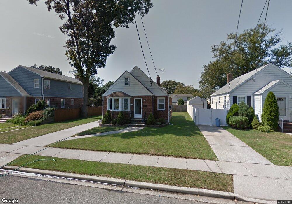
286 Rintin St Franklin Square, NY 11010
Estimated Value: $705,000 - $711,319
--
Bed
1
Bath
1,340
Sq Ft
$528/Sq Ft
Est. Value
About This Home
This home is located at 286 Rintin St, Franklin Square, NY 11010 and is currently estimated at $708,160, approximately $528 per square foot. 286 Rintin St is a home located in Nassau County.
Ownership History
Date
Name
Owned For
Owner Type
Purchase Details
Closed on
Dec 20, 2022
Sold by
Annitto Paul E and Annitto Mary Ellen
Bought by
Chacko Rinny Jacob and Chacko Rinny Leena
Current Estimated Value
Home Financials for this Owner
Home Financials are based on the most recent Mortgage that was taken out on this home.
Original Mortgage
$544,500
Outstanding Balance
$524,652
Interest Rate
5.87%
Mortgage Type
New Conventional
Estimated Equity
$183,508
Purchase Details
Closed on
Sep 17, 1998
Create a Home Valuation Report for This Property
The Home Valuation Report is an in-depth analysis detailing your home's value as well as a comparison with similar homes in the area
Home Values in the Area
Average Home Value in this Area
Purchase History
| Date | Buyer | Sale Price | Title Company |
|---|---|---|---|
| Chacko Rinny Jacob | $605,000 | New Way Abstract | |
| -- | -- | -- |
Source: Public Records
Mortgage History
| Date | Status | Borrower | Loan Amount |
|---|---|---|---|
| Open | Chacko Rinny Jacob | $544,500 |
Source: Public Records
Tax History Compared to Growth
Tax History
| Year | Tax Paid | Tax Assessment Tax Assessment Total Assessment is a certain percentage of the fair market value that is determined by local assessors to be the total taxable value of land and additions on the property. | Land | Improvement |
|---|---|---|---|---|
| 2025 | $11,169 | $508 | $294 | $214 |
| 2024 | $4,580 | $508 | $294 | $214 |
| 2023 | $10,162 | $508 | $294 | $214 |
| 2022 | $10,162 | $508 | $294 | $214 |
| 2021 | $10,496 | $499 | $289 | $210 |
| 2020 | $10,244 | $721 | $546 | $175 |
| 2019 | $4,043 | $721 | $546 | $175 |
| 2018 | $3,833 | $721 | $0 | $0 |
| 2017 | $4,962 | $721 | $546 | $175 |
| 2016 | $8,630 | $721 | $447 | $274 |
| 2015 | $3,427 | $721 | $447 | $274 |
| 2014 | $3,427 | $721 | $447 | $274 |
| 2013 | $3,913 | $881 | $546 | $335 |
Source: Public Records
Map
Nearby Homes
- 249 Grange St
- 190 Commonwealth St
- 279 Semton Blvd
- 757 Marion St
- 144 Rintin St
- 231 Dogwood Ave
- 242 James St
- 301 Hoffman St
- 249 Hoffman St
- 576 Western Park Dr
- 198 Guildford Ct
- 956 Hancock Ave
- 56 Fendale St
- 31 Claflin Blvd
- 149 Rule St
- 594 Fenworth Blvd
- 791 Caryl St
- 350 Paul Place
- 19 Richard St
- 676 Sobo Ave
- 280 Rintin St
- 292 Rintin St
- 276 Rintin St
- 279 Commonwealth St
- 287 Commonwealth St
- 275 Commonwealth St
- 300 Rintin St
- 295 Commonwealth St
- 272 Rintin St
- 271 Commonwealth St
- 285 Rintin St
- 281 Rintin St
- 293 Rintin St
- 277 Rintin St
- 301 Commonwealth St
- 266 Rintin St
- 271 Rintin St
- 301 Rintin St
- 265 Commonwealth St
- 306 Rintin St