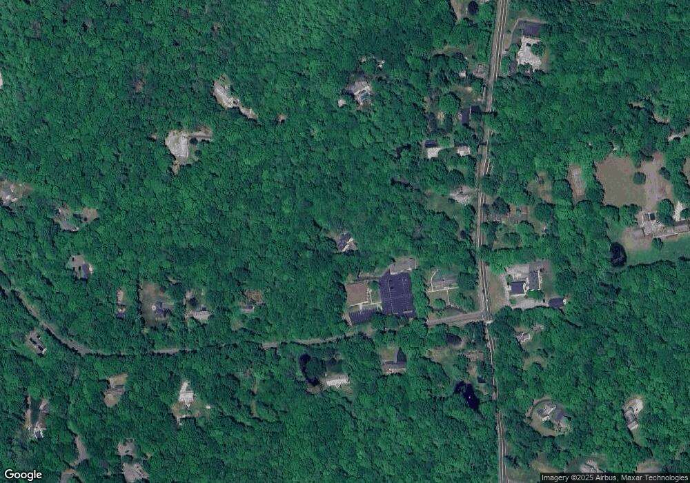
286 Route 81 Killingworth, CT 06419
Estimated Value: $465,000 - $766,000
3
Beds
2
Baths
2,180
Sq Ft
$267/Sq Ft
Est. Value
About This Home
This home is located at 286 Route 81, Killingworth, CT 06419 and is currently estimated at $581,929, approximately $266 per square foot. 286 Route 81 is a home located in Middlesex County with nearby schools including Haddam-Killingworth High School and Haddam-Killingworth Intermediate School.
Ownership History
Date
Name
Owned For
Owner Type
Purchase Details
Closed on
Feb 10, 1997
Sold by
Nadeau Conrad J
Bought by
Keavy Daniel
Current Estimated Value
Home Financials for this Owner
Home Financials are based on the most recent Mortgage that was taken out on this home.
Original Mortgage
$194,000
Outstanding Balance
$21,951
Interest Rate
7.57%
Mortgage Type
Unknown
Estimated Equity
$559,978
Create a Home Valuation Report for This Property
The Home Valuation Report is an in-depth analysis detailing your home's value as well as a comparison with similar homes in the area
Home Values in the Area
Average Home Value in this Area
Purchase History
| Date | Buyer | Sale Price | Title Company |
|---|---|---|---|
| Keavy Daniel | $242,500 | -- |
Source: Public Records
Mortgage History
| Date | Status | Borrower | Loan Amount |
|---|---|---|---|
| Open | Keavy Daniel | $91,200 | |
| Open | Keavy Daniel | $194,000 |
Source: Public Records
Tax History Compared to Growth
Tax History
| Year | Tax Paid | Tax Assessment Tax Assessment Total Assessment is a certain percentage of the fair market value that is determined by local assessors to be the total taxable value of land and additions on the property. | Land | Improvement |
|---|---|---|---|---|
| 2025 | $7,037 | $268,380 | $73,010 | $195,370 |
| 2024 | $6,500 | $268,380 | $73,010 | $195,370 |
| 2023 | $6,299 | $268,380 | $73,010 | $195,370 |
| 2022 | $6,232 | $268,380 | $73,010 | $195,370 |
| 2021 | $6,667 | $226,000 | $76,520 | $149,480 |
| 2020 | $6,039 | $226,000 | $76,520 | $149,480 |
| 2019 | $3,774 | $226,000 | $76,520 | $149,480 |
| 2018 | $6,208 | $226,000 | $76,520 | $149,480 |
| 2017 | $6,208 | $226,000 | $76,520 | $149,480 |
| 2016 | $6,260 | $241,790 | $114,880 | $126,910 |
| 2015 | $6,100 | $241,790 | $114,880 | $126,910 |
| 2014 | $5,931 | $241,790 | $114,880 | $126,910 |
Source: Public Records
Map
Nearby Homes
- 115 Hemlock Dr
- 262 Connecticut 81
- 14 Ely Ln
- 14 Kenilworth Dr
- 10 Whitewood Rd
- 33 Whitewood Rd
- 8 Livemore Trail
- 11 Pleasant Trail
- 179 Route 81
- 16 Bridlepath Trail
- 24 Boulder Trail
- 37 Titus Coan Rd
- 275 Route 148
- 30 Chestnut Hill Rd
- 100 N Tower Hill Rd
- 180 Green Hill Rd
- 511 Route 81
- 8 Linnea Ln
- 25 Roast Meat Hill Rd
- 174 Concord Dr