286 Spring St Block Island, RI 02807
Estimated Value: $2,060,000 - $2,417,913
3
Beds
2
Baths
1,551
Sq Ft
$1,436/Sq Ft
Est. Value
About This Home
This home is located at 286 Spring St, Block Island, RI 02807 and is currently estimated at $2,226,728, approximately $1,435 per square foot. 286 Spring St is a home with nearby schools including Block Island School.
Ownership History
Date
Name
Owned For
Owner Type
Purchase Details
Closed on
Feb 19, 2025
Sold by
Mcmanus Kathryn F
Bought by
Mcmanus Ft and Clark
Current Estimated Value
Purchase Details
Closed on
Dec 6, 2018
Sold by
Mcmanus Kathryn F
Bought by
Kathryn F Mcmanus T 2018
Create a Home Valuation Report for This Property
The Home Valuation Report is an in-depth analysis detailing your home's value as well as a comparison with similar homes in the area
Home Values in the Area
Average Home Value in this Area
Purchase History
| Date | Buyer | Sale Price | Title Company |
|---|---|---|---|
| Mcmanus Ft | -- | None Available | |
| Mcmanus Ft | -- | None Available | |
| Mcmanus Ft | -- | None Available | |
| Kathryn F Mcmanus T 2018 | -- | -- | |
| Kathryn F Mcmanus T 2018 | -- | -- |
Source: Public Records
Tax History Compared to Growth
Tax History
| Year | Tax Paid | Tax Assessment Tax Assessment Total Assessment is a certain percentage of the fair market value that is determined by local assessors to be the total taxable value of land and additions on the property. | Land | Improvement |
|---|---|---|---|---|
| 2024 | $10,620 | $1,923,900 | $1,513,700 | $410,200 |
| 2023 | $11,582 | $1,923,900 | $1,513,700 | $410,200 |
| 2022 | $12,512 | $1,767,280 | $1,595,760 | $171,520 |
| 2021 | $11,841 | $1,767,280 | $1,595,760 | $171,520 |
| 2020 | $11,240 | $1,767,280 | $1,595,760 | $171,520 |
| 2019 | $10,886 | $1,767,280 | $1,595,760 | $171,520 |
| 2018 | $10,677 | $1,794,480 | $1,595,760 | $198,720 |
| 2017 | $10,516 | $1,794,480 | $1,595,760 | $198,720 |
| 2016 | $10,264 | $1,794,480 | $1,595,760 | $198,720 |
| 2015 | $12,666 | $2,298,700 | $1,994,700 | $304,000 |
| 2014 | $12,275 | $2,298,700 | $1,994,700 | $304,000 |
| 2013 | $11,976 | $2,298,700 | $1,994,700 | $304,000 |
Source: Public Records
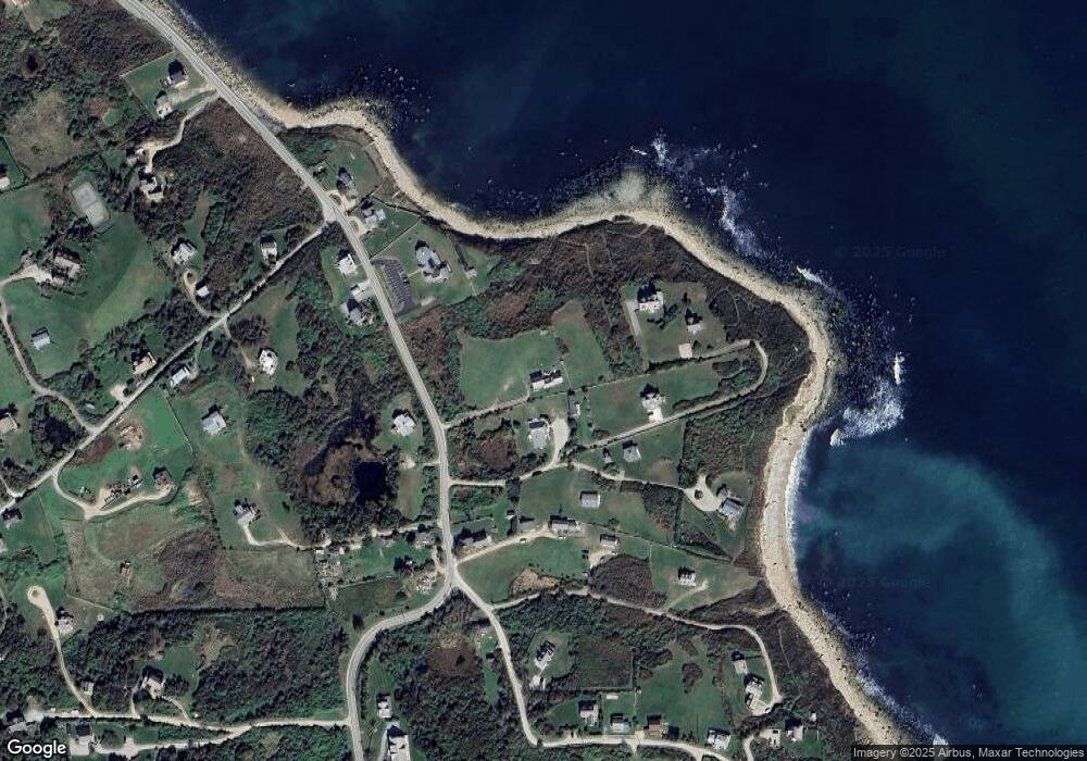
Map
Nearby Homes
- 0 Southeast Rd Unit 1381406
- 0 Spring St
- 1289 High St
- 194 Pilot Hill Rd
- 256 High St
- 0 Pilot Hill Rd
- 481 Old Town Rd
- 804 Mohegan Trail
- 1661 Sand Pond Rd
- 0 Mohegan Trail
- 1087 Lakeside Dr
- 1035 Mohegan Trail
- 1448 Mohegan Trail
- 0 Snake Hole Rd
- 1501 Beacon Hill Rd
- 1743 Corn Neck Rd
- 1720 Corn Neck Rd
- 1713 Corn Neck Rd
- 0 Coast Guard Rd
- 1328 Cooneymus Rd
- 290 Spring St
- 289 Spring St
- 1244 Spring St
- 287 Spring St
- 1244 Southeast Rd
- 293 Spring St
- 317 Spring Street St
- 1243 Southeast Rd
- 325 Spring St
- 288 Spring St
- 0 Southeast Rd Unit 992492
- 284 Spring St
- 283 Spring St
- 295 Spring St
- 296 Southeast Rd
- 245 Southeast Rd
- 270 Spring St
- 1264 Spring St
- 1008 Spring St
- 297 Southeast Rd