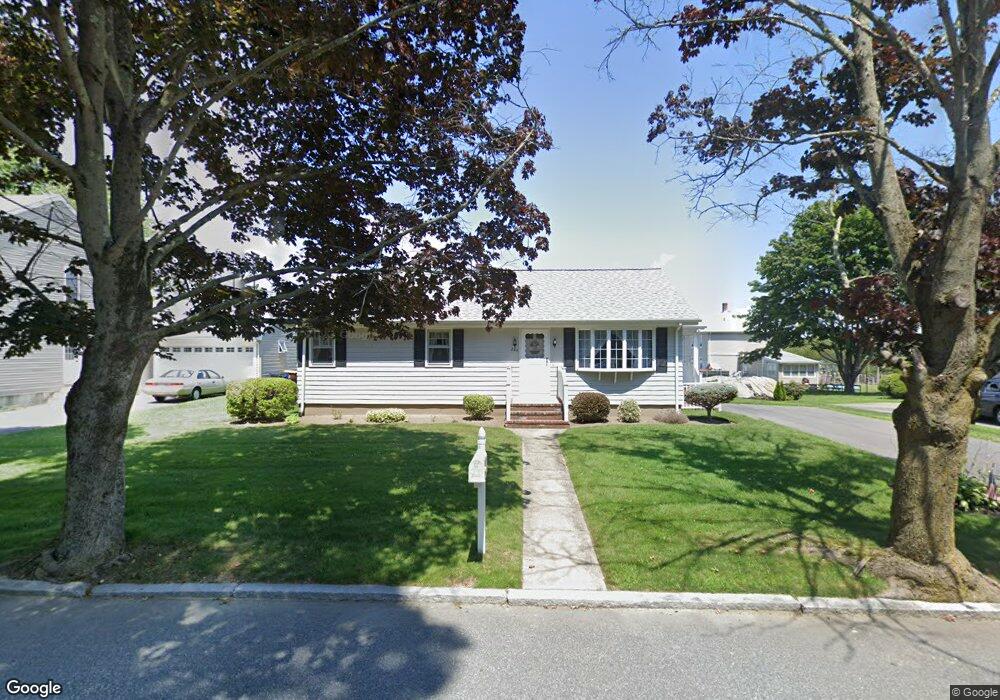
286 Wood St Fall River, MA 02721
Maplewood NeighborhoodEstimated Value: $426,000 - $537,000
3
Beds
1
Bath
1,764
Sq Ft
$268/Sq Ft
Est. Value
About This Home
This home is located at 286 Wood St, Fall River, MA 02721 and is currently estimated at $472,075, approximately $267 per square foot. 286 Wood St is a home located in Bristol County with nearby schools including Letourneau Elementary School, Matthew J. Kuss Middle School, and B M C Durfee High School.
Ownership History
Date
Name
Owned For
Owner Type
Purchase Details
Closed on
Dec 29, 2015
Sold by
Kenneth A A and Kenneth A P
Bought by
Furtado Patricia A and Furtado Kenneth A
Current Estimated Value
Home Financials for this Owner
Home Financials are based on the most recent Mortgage that was taken out on this home.
Original Mortgage
$337,500
Outstanding Balance
$268,772
Interest Rate
4%
Mortgage Type
Adjustable Rate Mortgage/ARM
Estimated Equity
$203,303
Purchase Details
Closed on
Aug 7, 2008
Sold by
Furtado Kenneth A
Bought by
Kenneth and Kenneth Patricia Furta
Create a Home Valuation Report for This Property
The Home Valuation Report is an in-depth analysis detailing your home's value as well as a comparison with similar homes in the area
Home Values in the Area
Average Home Value in this Area
Purchase History
| Date | Buyer | Sale Price | Title Company |
|---|---|---|---|
| Furtado Patricia A | -- | -- | |
| Kenneth | -- | -- |
Source: Public Records
Mortgage History
| Date | Status | Borrower | Loan Amount |
|---|---|---|---|
| Open | Furtado Patricia A | $337,500 |
Source: Public Records
Tax History Compared to Growth
Tax History
| Year | Tax Paid | Tax Assessment Tax Assessment Total Assessment is a certain percentage of the fair market value that is determined by local assessors to be the total taxable value of land and additions on the property. | Land | Improvement |
|---|---|---|---|---|
| 2025 | $3,990 | $348,500 | $134,600 | $213,900 |
| 2024 | $3,731 | $324,700 | $129,500 | $195,200 |
| 2023 | $3,665 | $298,700 | $123,300 | $175,400 |
| 2022 | $3,221 | $255,200 | $114,200 | $141,000 |
| 2021 | $3,181 | $230,000 | $113,900 | $116,100 |
| 2020 | $3,052 | $211,200 | $107,600 | $103,600 |
| 2019 | $2,932 | $201,100 | $105,600 | $95,500 |
| 2018 | $2,893 | $197,900 | $105,600 | $92,300 |
| 2017 | $2,682 | $191,600 | $102,600 | $89,000 |
| 2016 | $2,545 | $186,700 | $102,600 | $84,100 |
| 2015 | $2,471 | $188,900 | $102,600 | $86,300 |
| 2014 | $2,376 | $188,900 | $102,600 | $86,300 |
Source: Public Records
Map
Nearby Homes
- 142 Norman St
- 0 Hancock St
- 228 Dickinson St
- 0 Stafford Rd Unit 1393774
- 0 Stafford Rd Unit 73431501
- 0 Wood St
- 38 Hummingbird Ln
- 217 Napoleon St
- 18 Mockingbird Ln
- 1441 Stafford Rd
- 185 Stafford Rd
- 871 Norman St
- 415 Anthony St
- 206 Songbird Ln
- 961 Wood St
- 951 Dickinson St
- 64 Robin Dr Unit 2-84
- 70 Robin Dr
- 84 Lark Ln
- 37 Bluejay St