2860 Highway 821 Ruston, LA 71270
Estimated Value: $447,000 - $525,000
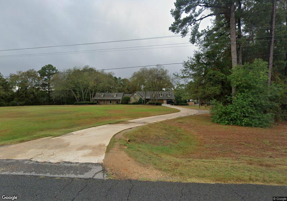
About This Home
This home is located at 2860 Highway 821, Ruston, LA 71270 and is currently estimated at $486,065, approximately $146 per square foot. 2860 Highway 821 is a home located in Lincoln Parish with nearby schools including Choudrant Elementary School, Choudrant High School, and Ruston Junior High School.
Ownership History
We collect this data history from publicly available records. To have your information removed, we recommend requesting removal directly through your county’s website.
Purchase Details
Home Financials for this Owner
Home Financials are based on the most recent Mortgage that was taken out on this home.Purchase History
We collect this data history from publicly available records. To have your information removed, we recommend requesting removal directly through your county’s website.
| Date | Buyer | Sale Price | Title Company |
|---|---|---|---|
| -- | None Available |
Mortgage History
We collect this data history from publicly available records. To have your information removed, we recommend requesting removal directly through your county’s website.
| Date | Status | Borrower | Loan Amount |
|---|---|---|---|
| Closed | $200,000 |
Tax History
We collect this data history from publicly available records. To have your information removed, we recommend requesting removal directly through your county’s website.
| Year | Tax Paid | Tax Assessment Tax Assessment Total Assessment is a certain percentage of the fair market value that is determined by local assessors to be the total taxable value of land and additions on the property. | Land | Improvement |
|---|---|---|---|---|
| 2025 | $2,735 | $34,472 | $2,431 | $32,041 |
| 2024 | $2,659 | $33,490 | $2,431 | $31,059 |
| 2023 | $2,710 | $32,811 | $3,211 | $29,600 |
| 2022 | $2,692 | $32,811 | $3,211 | $29,600 |
| 2021 | $2,649 | $32,812 | $3,211 | $29,601 |
| 2020 | $2,395 | $29,527 | $3,211 | $26,316 |
| 2019 | $2,434 | $29,583 | $3,210 | $26,373 |
| 2018 | $2,254 | $27,310 | $3,210 | $24,100 |
| 2017 | $1,844 | $22,117 | $3,210 | $18,907 |
| 2016 | $1,881 | $0 | $0 | $0 |
| 2015 | $1,715 | $18,587 | $2,742 | $15,845 |
| 2013 | $1,665 | $17,749 | $2,742 | $15,007 |
Map
- 136 Belle Pointe Dr
- 125 Plantation Hill Dr
- 142 Buck Meadow Dr
- 124 Frogmore Dr
- 175 Deer Creek Rd
- 150 Burgessville Rd
- 145 Woodshire Ln
- 0 Stable Run Cir
- 129 Mount Harmony Church Rd
- Lot 1B Unit 1 Harmony Church Rd
- 111 Stones Throw Rd
- 129 Camillia Cir
- 3163 Highway 33
- 112 Shade Tree Trace
- 000 Shade Tree Trace
- 136 Shade Tree Trace
- 142 Goodgoin Rd
- 641 Goodgoin Rd
- 197 Baxter Rd
- 157 Valley View Dr
- 134 Creeks Edge Cir
- 9 Belle Pointe Dr
- 24 Belle Pointe Dr
- 150 Creeks Edge Cir
- 112 Creeks Edge Cir
- 2867 Highway 821
- 2867 Highway 821
- 2867 Highway 821
- 164 Creeks Edge Cir
- 2857 Highway 821
- 139 Creek's Edge Cir
- 116 Belle Pointe Dr
- 123 Creeks Edge Cir
- 151 Creeks Edge Cir
- 111 Creeks Edge Cir
- 174 Creeks Edge Cir
- 137 Belle Pointe Dr
- 187 Creeks Edge Cir
- 155 Belle Pointe Dr
- 160 Guy Rd
Ask me questions while you tour the home.