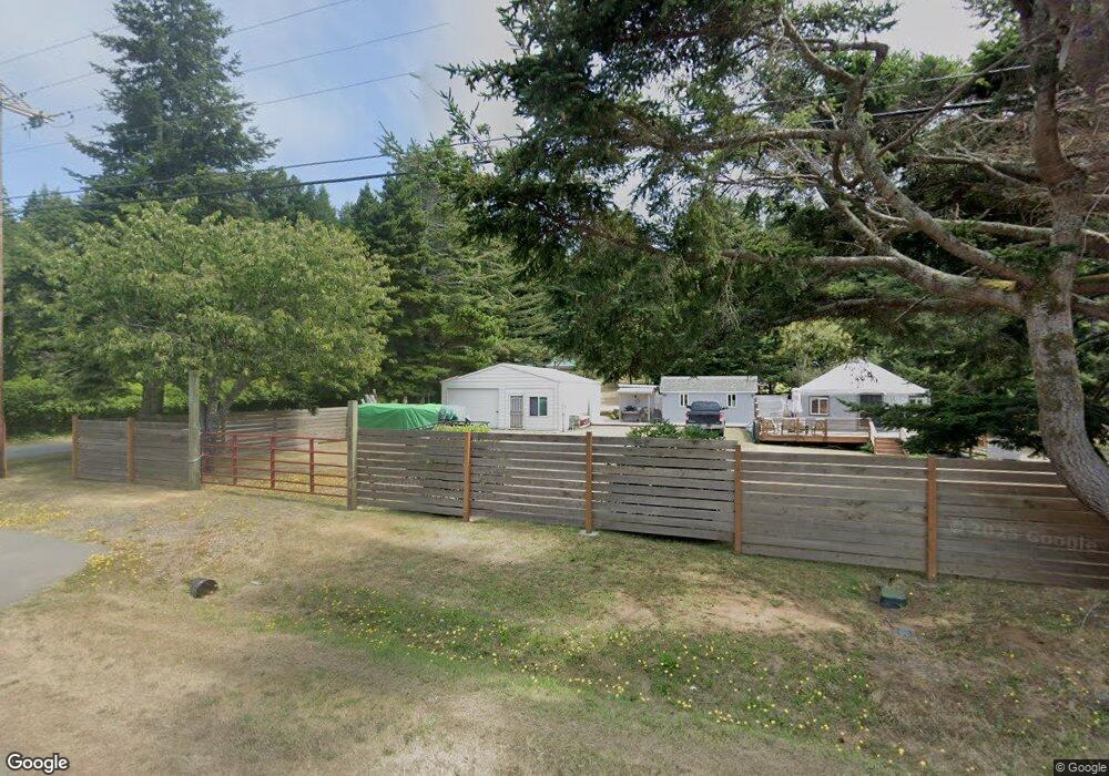
2860 Port Orford Loop Rd Port Orford, OR 97465
Estimated Value: $309,000 - $345,875
2
Beds
1
Bath
1,114
Sq Ft
$294/Sq Ft
Est. Value
About This Home
This home is located at 2860 Port Orford Loop Rd, Port Orford, OR 97465 and is currently estimated at $327,438, approximately $293 per square foot. 2860 Port Orford Loop Rd is a home located in Curry County with nearby schools including Driftwood Elementary School and Pacific High School.
Ownership History
Date
Name
Owned For
Owner Type
Purchase Details
Closed on
Aug 12, 2023
Sold by
Smith Frank W and Smith Bonnie S
Bought by
Frank And Bonnie Smith Trust and Smith
Current Estimated Value
Purchase Details
Closed on
Jun 30, 2009
Sold by
Smith Frank W and Smith Bonnie S
Bought by
Fehrs Vicki Jean
Purchase Details
Closed on
May 15, 2007
Sold by
Nye Kimberly
Bought by
Smith Frank W and Smith Bonnie S
Create a Home Valuation Report for This Property
The Home Valuation Report is an in-depth analysis detailing your home's value as well as a comparison with similar homes in the area
Home Values in the Area
Average Home Value in this Area
Purchase History
| Date | Buyer | Sale Price | Title Company |
|---|---|---|---|
| Frank And Bonnie Smith Trust | -- | None Listed On Document | |
| Fehrs Vicki Jean | $179,000 | None Available | |
| Smith Frank W | -- | None Available |
Source: Public Records
Tax History Compared to Growth
Tax History
| Year | Tax Paid | Tax Assessment Tax Assessment Total Assessment is a certain percentage of the fair market value that is determined by local assessors to be the total taxable value of land and additions on the property. | Land | Improvement |
|---|---|---|---|---|
| 2025 | $1,768 | $148,010 | -- | -- |
| 2024 | $1,719 | $143,700 | -- | -- |
| 2023 | $1,671 | $139,520 | $0 | $0 |
| 2022 | $1,626 | $135,460 | $0 | $0 |
| 2021 | $1,582 | $131,520 | $0 | $0 |
| 2020 | $1,538 | $127,690 | $0 | $0 |
| 2019 | $1,549 | $123,980 | $0 | $0 |
| 2018 | $1,518 | $120,370 | $0 | $0 |
| 2017 | $1,482 | $120,370 | $0 | $0 |
| 2016 | $1,443 | $116,870 | $0 | $0 |
| 2015 | $1,296 | $113,470 | $0 | $0 |
| 2014 | $1,296 | $106,970 | $0 | $0 |
Source: Public Records
Map
Nearby Homes
- 2605 Port Orford Loop Rd
- 2537 Port Orford Loop Rd
- 0 U S 101 Unit 23075533
- 2420 Jefferson St
- 0 Averill Hill Rd Unit 705339825
- 2433 Arizona St
- 0 Orchard Rd Unit Lot 3 253777191
- 0 Cedar Hollow Rd Unit 2107 427140236
- 0 Jefferson St Unit Lot 1&6 391642538
- 654 Madrona Ave
- 0 Vista Dr Unit 1100 294052713
- 0 Vista St Unit 23631922
- 0 Hwy 101
- 0 Kreiger Ln Unit 123 24545489
- 0 Kreiger Ln Unit 122 24581015
- 4 Vista Dr
- 30 Geer Cir
- 636 18th St
- 1634 Idaho St
- 4 Doug Johnson Ln
- 2858 Port Orford Loop Rd
- 42487 Port Orford Loop Rd
- 2850 Port Orford Loop Rd
- 42505 Port Orford Loop Rd
- 205 Mather Dr
- 42486 Port Orford Loop Rd
- 215 Mather Dr
- 42516 Port Orford Loop Rd
- 225 Mather Dr
- 60 Hensley Hill Rd
- 42300 Hensley Hill Rd
- 230 Mather Dr
- 235 Mather Dr
- 9 Hensley Hill Rd
- 0 Mather Dr Unit 22548692
- 0 Mather Dr
- 75 Hensley Hill Rd
- 92840 Mill Pond Rd
- 42549 Port Orford Loop Rd
- 2727 Port Orford Loop Rd