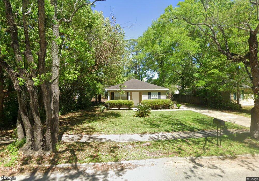
2860 Ralston Rd Mobile, AL 36606
Midtown Mobile NeighborhoodEstimated Value: $95,639 - $118,000
3
Beds
2
Baths
1,110
Sq Ft
$97/Sq Ft
Est. Value
About This Home
This home is located at 2860 Ralston Rd, Mobile, AL 36606 and is currently estimated at $107,410, approximately $96 per square foot. 2860 Ralston Rd is a home located in Mobile County with nearby schools including Westlawn Elementary School, Booker T. Washington Middle School, and Murphy High School.
Ownership History
Date
Name
Owned For
Owner Type
Purchase Details
Closed on
Aug 28, 2003
Sold by
Midtown Investments Inc
Bought by
Tanner Andrew R and Tanner Nancy N
Current Estimated Value
Home Financials for this Owner
Home Financials are based on the most recent Mortgage that was taken out on this home.
Original Mortgage
$42,800
Outstanding Balance
$19,142
Interest Rate
5.72%
Mortgage Type
Unknown
Estimated Equity
$88,268
Purchase Details
Closed on
Mar 10, 2003
Sold by
Pace Mortgage Inc
Bought by
Midtown Investments Inc
Purchase Details
Closed on
Jan 15, 2003
Sold by
Weaver Ginger Deanne
Bought by
Pace Mortgage Inc
Purchase Details
Closed on
Jun 29, 1999
Sold by
Sewell Stephen T and Sewell Kimberly M
Bought by
Weaver Ginger Deanne
Home Financials for this Owner
Home Financials are based on the most recent Mortgage that was taken out on this home.
Original Mortgage
$40,082
Interest Rate
7.27%
Mortgage Type
FHA
Create a Home Valuation Report for This Property
The Home Valuation Report is an in-depth analysis detailing your home's value as well as a comparison with similar homes in the area
Home Values in the Area
Average Home Value in this Area
Purchase History
| Date | Buyer | Sale Price | Title Company |
|---|---|---|---|
| Tanner Andrew R | -- | -- | |
| Midtown Investments Inc | -- | -- | |
| Pace Mortgage Inc | -- | -- | |
| Weaver Ginger Deanne | -- | -- |
Source: Public Records
Mortgage History
| Date | Status | Borrower | Loan Amount |
|---|---|---|---|
| Open | Tanner Andrew R | $42,800 | |
| Previous Owner | Weaver Ginger Deanne | $40,082 |
Source: Public Records
Tax History Compared to Growth
Tax History
| Year | Tax Paid | Tax Assessment Tax Assessment Total Assessment is a certain percentage of the fair market value that is determined by local assessors to be the total taxable value of land and additions on the property. | Land | Improvement |
|---|---|---|---|---|
| 2024 | $872 | $12,740 | $2,800 | $9,940 |
| 2023 | $819 | $11,360 | $2,640 | $8,720 |
| 2022 | $682 | $10,740 | $2,200 | $8,540 |
| 2021 | $696 | $10,960 | $2,200 | $8,760 |
| 2020 | $710 | $11,180 | $2,200 | $8,980 |
| 2019 | $773 | $12,180 | $0 | $0 |
| 2018 | $786 | $12,380 | $0 | $0 |
| 2017 | $800 | $12,600 | $0 | $0 |
| 2016 | $914 | $14,400 | $0 | $0 |
| 2013 | $1,025 | $16,000 | $0 | $0 |
Source: Public Records
Map
Nearby Homes
- 2855 Ralston Rd
- 2869 Ralston Rd
- 2851 Potter Dr
- 2858 Thornhill Dr
- 177 Glenn Ave
- 2867 Thornhill Dr
- 178 Rhea Ave
- 341 S Sage Ave
- 3005 Ralston Rd
- 2903 Brierwood Dr
- 321 Thornhill Cir
- 2715 Briley St
- 2713 Briley St
- 167 E Collins St
- 3075 Fendley Ave
- 2765 S Sherwood Dr
- 155 E Collins St
- 254 Berkley Ct
- 2700 Emogene St
- 255 Berkley Ct
- 2858 Ralston Rd
- 2862 Ralston Rd
- 2856 Ralston Rd
- 2859 Potter Dr
- 2861 Potter Dr
- 2861 Potter Dr Unit ID1043844P
- 2864 Ralston Rd
- 2857 Potter Dr
- 2861 Ralston Rd
- 2863 Ralston Rd
- 2863 Potter Dr
- 2863 Potter Dr Unit ID1043693P
- 2854 Ralston Rd
- 2859 Ralston Rd
- 2865 Ralston Rd
- 2855 Potter Dr
- 2866 Ralston Rd
- 2857 Ralston Rd
- 2857 Ralston Rd Unit B
- 2857 Ralston Rd Unit A