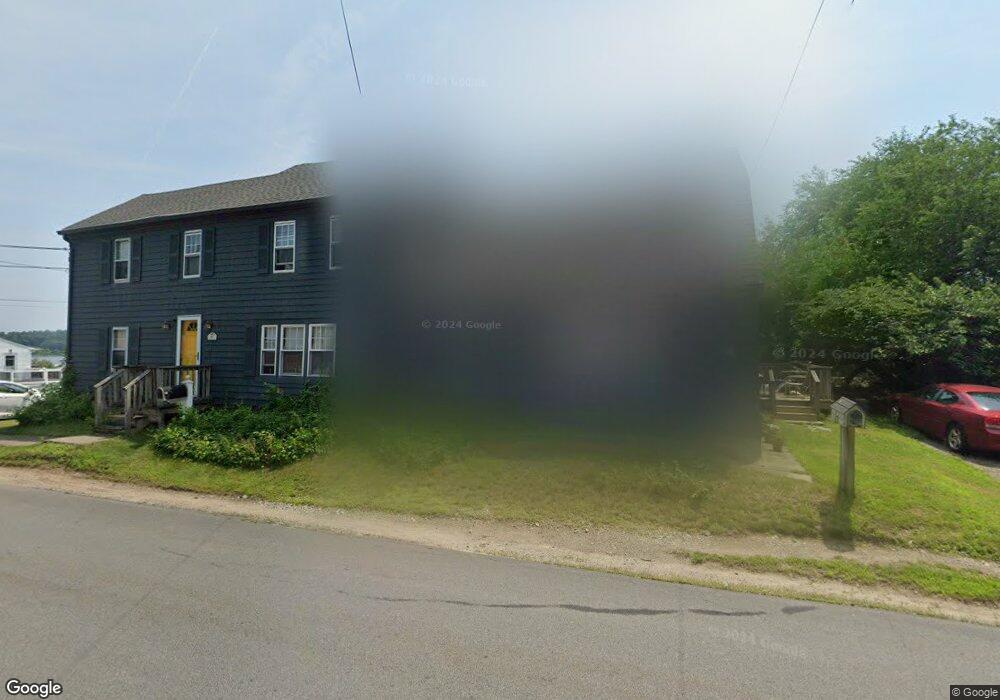
2862 Riverside Ave Somerset, MA 02726
Pottersville NeighborhoodEstimated Value: $611,250 - $774,000
6
Beds
2
Baths
3,260
Sq Ft
$213/Sq Ft
Est. Value
About This Home
This home is located at 2862 Riverside Ave, Somerset, MA 02726 and is currently estimated at $692,813, approximately $212 per square foot. 2862 Riverside Ave is a home located in Bristol County with nearby schools including North Elementary School, Somerset Middle School, and St Vincent School.
Ownership History
Date
Name
Owned For
Owner Type
Purchase Details
Closed on
Oct 26, 2017
Sold by
Russo Christopher and Murray Robert
Bought by
Russo Christopher
Current Estimated Value
Purchase Details
Closed on
Jan 13, 2012
Sold by
Russo Janet
Bought by
Janet Russo Irt
Create a Home Valuation Report for This Property
The Home Valuation Report is an in-depth analysis detailing your home's value as well as a comparison with similar homes in the area
Home Values in the Area
Average Home Value in this Area
Purchase History
| Date | Buyer | Sale Price | Title Company |
|---|---|---|---|
| Russo Christopher | -- | -- | |
| Russo Christopher | -- | -- | |
| Russo Christopher | -- | -- | |
| Russo Christopher | -- | -- | |
| Janet Russo Irt | -- | -- | |
| Janet Russo Irt | -- | -- |
Source: Public Records
Mortgage History
| Date | Status | Borrower | Loan Amount |
|---|---|---|---|
| Previous Owner | Janet Russo Irt | $10,000 |
Source: Public Records
Tax History Compared to Growth
Tax History
| Year | Tax Paid | Tax Assessment Tax Assessment Total Assessment is a certain percentage of the fair market value that is determined by local assessors to be the total taxable value of land and additions on the property. | Land | Improvement |
|---|---|---|---|---|
| 2025 | $7,101 | $533,900 | $194,400 | $339,500 |
| 2024 | $6,412 | $501,300 | $194,400 | $306,900 |
| 2023 | $6,031 | $475,600 | $176,800 | $298,800 |
| 2022 | $5,826 | $438,400 | $153,900 | $284,500 |
| 2021 | $5,894 | $401,500 | $140,100 | $261,400 |
| 2020 | $5,922 | $389,100 | $140,100 | $249,000 |
| 2019 | $7,258 | $397,700 | $163,100 | $234,600 |
| 2018 | $6,199 | $365,500 | $163,100 | $202,400 |
| 2017 | $6,099 | $350,500 | $163,100 | $187,400 |
| 2016 | $6,137 | $350,500 | $163,100 | $187,400 |
| 2015 | $6,024 | $347,200 | $166,100 | $181,100 |
| 2014 | $8,054 | $333,500 | $166,100 | $167,400 |
Source: Public Records
Map
Nearby Homes
- 2714 Riverside Ave
- 50 Pratt Ave
- 34 Barry Ave
- 3896 N Main St
- 50 Clark St Unit 19
- 224 Chace St
- 3063 N Main St
- 604 Lafayette St
- 701 Prospect St
- 138 Bourn Ave
- 95 Brookside Rd
- 190 Gibbs St
- 64 Midland Rd
- 5 Wayland St
- 2546 County St
- 287 Bark St
- 0 Bark St Unit 73152576
- 0 Bark St Unit 1342599
- 4700 N Main St Unit 3E
- 82 Perry Ave
- 2867 Riverside Ave
- 2828 Riverside Ave
- 2888 Riverside Ave
- 2874 Riverside Ave
- 5 Wood St
- 5 Wood St Unit 1
- 2814 Riverside Ave
- 2881 Riverside Ave
- 2881 Riverside Ave Unit 1
- 2881 Riverside Ave Unit R
- 2817 Riverside Ave
- 2812 Riverside Ave
- 2812 Riverside Ave Unit 2
- 2812 Riverside Ave Unit 1
- 2895 Riverside Ave
- 13 Wood St
- 16 Wood St
- 2907 Riverside Ave
- 2914 Riverside Ave
- 23 Wood St