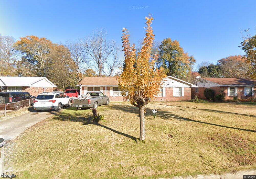
2863 Avondale Rd Columbus, GA 31903
Southern Columbus NeighborhoodEstimated Value: $99,000 - $128,000
3
Beds
3
Baths
1,447
Sq Ft
$82/Sq Ft
Est. Value
About This Home
This home is located at 2863 Avondale Rd, Columbus, GA 31903 and is currently estimated at $118,026, approximately $81 per square foot. 2863 Avondale Rd is a home located in Muscogee County with nearby schools including South Columbus Elementary School, Eddy Middle School, and Spencer High School.
Ownership History
Date
Name
Owned For
Owner Type
Purchase Details
Closed on
Dec 28, 2016
Sold by
Ditchfield Family Trust
Bought by
Rivera Juan B
Current Estimated Value
Home Financials for this Owner
Home Financials are based on the most recent Mortgage that was taken out on this home.
Original Mortgage
$70,695
Outstanding Balance
$58,192
Interest Rate
4.08%
Mortgage Type
FHA
Estimated Equity
$59,834
Create a Home Valuation Report for This Property
The Home Valuation Report is an in-depth analysis detailing your home's value as well as a comparison with similar homes in the area
Home Values in the Area
Average Home Value in this Area
Purchase History
| Date | Buyer | Sale Price | Title Company |
|---|---|---|---|
| Rivera Juan B | $72,000 | -- |
Source: Public Records
Mortgage History
| Date | Status | Borrower | Loan Amount |
|---|---|---|---|
| Open | Rivera Juan B | $70,695 |
Source: Public Records
Tax History Compared to Growth
Tax History
| Year | Tax Paid | Tax Assessment Tax Assessment Total Assessment is a certain percentage of the fair market value that is determined by local assessors to be the total taxable value of land and additions on the property. | Land | Improvement |
|---|---|---|---|---|
| 2025 | $542 | $38,280 | $4,252 | $34,028 |
| 2024 | $541 | $35,276 | $4,252 | $31,024 |
| 2023 | $22 | $35,276 | $4,252 | $31,024 |
| 2022 | $564 | $28,496 | $4,252 | $24,244 |
| 2021 | $557 | $27,040 | $4,252 | $22,788 |
| 2020 | $558 | $27,040 | $4,252 | $22,788 |
| 2019 | $561 | $27,040 | $4,252 | $22,788 |
| 2018 | $561 | $27,040 | $4,252 | $22,788 |
| 2017 | $565 | $27,040 | $4,252 | $22,788 |
| 2016 | $1,043 | $25,292 | $3,450 | $21,842 |
| 2015 | $418 | $25,292 | $3,450 | $21,842 |
| 2014 | $1,046 | $25,292 | $3,450 | $21,842 |
| 2013 | -- | $25,292 | $3,450 | $21,842 |
Source: Public Records
Map
Nearby Homes
- 3009 Plantation Rd
- 3042 Colonial Dr
- 3015 Hendrix St
- 2973 Hawthorne Dr
- 2102 Somerset Ave
- 2463 Brownie St
- 2451 Brownie Ln
- 1274 Providence Ln
- 2463 Brownie Ln
- 2203 Simmons Ave
- 2309 Ginny Ave
- 2313 Dorothy Ave
- 2333 Bruce Ave
- 2425 Howe Ave
- 2317 Sharon Ave
- 3110 Victory Dr
- 2404 Bruce Ave
- 3310 Albert St
- 2846 Walker St
- 2417 Manning Ave
- 2859 Avondale Rd
- 2867 Avondale Rd
- 2736 Ramsey Rd
- 2740 Ramsey Rd
- 2855 Avondale Rd
- 2871 Avondale Rd
- 2726 Ramsey Rd
- 2746 Ramsey Rd
- 1801 Dee Ave
- 2722 Ramsey Rd
- 1800 Dee Ave
- 2851 Avondale Rd
- 2875 Avondale Rd
- 2752 Ramsey Rd
- 1805 Dee Ave
- 1802 Oakland Ave
- 2718 Ramsey Rd
- 1804 Dee Ave
- 2756 Ramsey Rd
- 2847 Avondale Rd