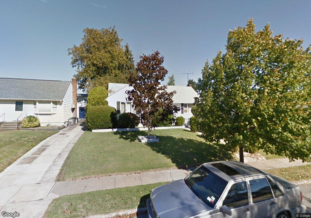
2863 Michael Rd Wantagh, NY 11793
Estimated Value: $660,000 - $689,000
3
Beds
1
Bath
1,079
Sq Ft
$624/Sq Ft
Est. Value
About This Home
This home is located at 2863 Michael Rd, Wantagh, NY 11793 and is currently estimated at $673,678, approximately $624 per square foot. 2863 Michael Rd is a home located in Nassau County with nearby schools including Lee Road Elementary School, Jonas E. Salk Middle School, and Gen. Douglas MacArthur Senior High School.
Ownership History
Date
Name
Owned For
Owner Type
Purchase Details
Closed on
Dec 10, 2020
Sold by
Bongiorno Frank and Bongiorno Maryanne
Bought by
Abbate Sean and Cooksey Caitlin
Current Estimated Value
Home Financials for this Owner
Home Financials are based on the most recent Mortgage that was taken out on this home.
Original Mortgage
$409,500
Outstanding Balance
$361,894
Interest Rate
2.8%
Mortgage Type
New Conventional
Estimated Equity
$311,784
Purchase Details
Closed on
Apr 14, 1998
Sold by
Menkes Jack
Bought by
Bongiorno Frank and Bongiorno Maryanne
Create a Home Valuation Report for This Property
The Home Valuation Report is an in-depth analysis detailing your home's value as well as a comparison with similar homes in the area
Home Values in the Area
Average Home Value in this Area
Purchase History
| Date | Buyer | Sale Price | Title Company |
|---|---|---|---|
| Abbate Sean | $455,000 | None Available | |
| Bongiorno Frank | $140,000 | -- |
Source: Public Records
Mortgage History
| Date | Status | Borrower | Loan Amount |
|---|---|---|---|
| Open | Abbate Sean | $409,500 |
Source: Public Records
Tax History
| Year | Tax Paid | Tax Assessment Tax Assessment Total Assessment is a certain percentage of the fair market value that is determined by local assessors to be the total taxable value of land and additions on the property. | Land | Improvement |
|---|---|---|---|---|
| 2025 | $12,588 | $399 | $218 | $181 |
| 2024 | $2,983 | $409 | $224 | $185 |
Source: Public Records
Map
Nearby Homes
- 899 Brent Dr
- 2846 Morgan Dr
- 2761 Preston Place
- 2758 Mayfield Place
- 985 Douglas Ave
- 3021 Terrace Rd
- 858 Mayer Dr
- 692 Woodside Dr
- 86 Weaving Ln
- 3037 N Jerusalem Rd
- 2644 Pine Ct
- 375 Loring Rd
- 803 Virginia Ave
- 23 Haven Ln
- 62 Haven Ln
- 732 Evelyn Ave
- 2 Welcome Ln
- 159 Spring Ln
- 1075 Olympia Rd
- 28 Candle Ln
- 2869 Michael Rd
- 2857 Michael Rd
- 2864 Charles Rd
- 2870 Charles Rd
- 2875 Michael Rd
- 2858 Charles Rd
- 2851 Michael Rd
- 2862 Michael Rd
- 2876 Charles Rd
- 2852 Charles Rd
- 2868 Michael Rd
- 2856 Michael Rd
- 2845 Michael Rd
- 2974 Michael Rd
- 2850 Michael Rd
- 2846 Charles Rd
- 870 Jay Dr
- 2887 Michael Rd
- 2880 Michael Rd
- 2888 Charles Rd
Your Personal Tour Guide
Ask me questions while you tour the home.