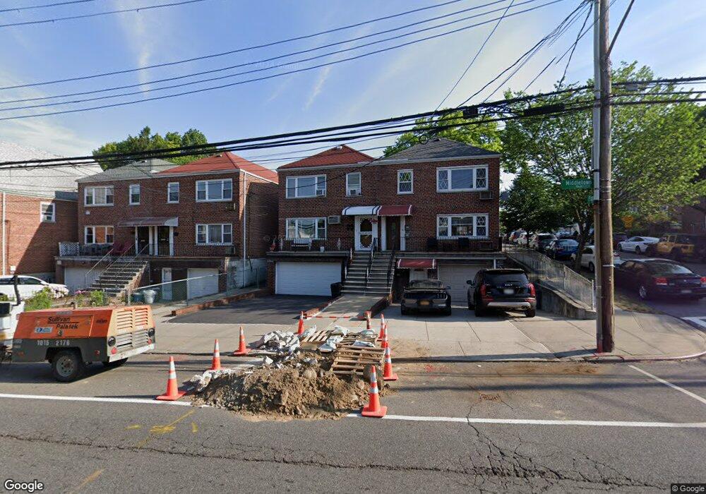
2863 Middletown Rd Bronx, NY 10461
Middletown-Pelham Bay NeighborhoodEstimated Value: $844,000 - $1,009,000
Studio
--
Bath
2,424
Sq Ft
$375/Sq Ft
Est. Value
About This Home
This home is located at 2863 Middletown Rd, Bronx, NY 10461 and is currently estimated at $910,060, approximately $375 per square foot. 2863 Middletown Rd is a home located in Bronx County with nearby schools including P.S. 71 Rose E Scala, Herbert H Lehman High School, and St. Theresa School.
Ownership History
Date
Name
Owned For
Owner Type
Purchase Details
Closed on
Jul 4, 2016
Sold by
Demarco Giacinto and Demarco Jean
Bought by
Demarco Giacinto and Demarco Jean
Current Estimated Value
Purchase Details
Closed on
Aug 3, 2001
Sold by
Demarco Jean and Ingoglia John A
Bought by
Demarco Giacinto and Demarco Jean
Home Financials for this Owner
Home Financials are based on the most recent Mortgage that was taken out on this home.
Original Mortgage
$80,000
Interest Rate
6.91%
Create a Home Valuation Report for This Property
The Home Valuation Report is an in-depth analysis detailing your home's value as well as a comparison with similar homes in the area
Home Values in the Area
Average Home Value in this Area
Purchase History
| Date | Buyer | Sale Price | Title Company |
|---|---|---|---|
| Demarco Giacinto | -- | -- | |
| Demarco Giacinto | -- | -- | |
| Demarco Jean | -- | -- |
Source: Public Records
Mortgage History
| Date | Status | Borrower | Loan Amount |
|---|---|---|---|
| Previous Owner | Demarco Jean | $80,000 |
Source: Public Records
Tax History
| Year | Tax Paid | Tax Assessment Tax Assessment Total Assessment is a certain percentage of the fair market value that is determined by local assessors to be the total taxable value of land and additions on the property. | Land | Improvement |
|---|---|---|---|---|
| 2025 | $7,162 | $41,823 | $6,617 | $35,206 |
| 2024 | $7,162 | $39,456 | $6,590 | $32,866 |
| 2023 | $7,017 | $38,736 | $7,188 | $31,548 |
| 2022 | $6,942 | $48,540 | $9,720 | $38,820 |
| 2021 | $7,472 | $40,800 | $9,720 | $31,080 |
| 2020 | $6,539 | $40,320 | $9,720 | $30,600 |
| 2019 | $6,878 | $32,880 | $9,720 | $23,160 |
| 2016 | $6,051 | $31,820 | $9,389 | $22,431 |
| 2015 | $3,536 | $30,019 | $10,785 | $19,234 |
| 2014 | $3,536 | $28,320 | $10,800 | $17,520 |
Source: Public Records
Map
Nearby Homes
- 1627 Pilgrim Ave
- 2874 Roberts Ave
- 1619 Mulford Ave
- 2873 Roebling Ave
- 2871 Zulette Ave
- 2867 Zulette Ave
- 1725 Edison Ave Unit 4C
- 1725 Edison Ave Unit 5D
- 1718 Edison Ave
- 2941 Middletown Rd
- 1517 Gillespie Ave
- 2888 Wellman Ave
- 1451 Cornell Place
- 2806 Wellman Ave
- 1465 Mayflower Ave
- 1836 Mulford Ave
- 1826 Edison Ave
- 1865 Mulford Ave
- 1711 Mahan Ave
- 2832 Dudley Ave
- 2865 Middletown Rd
- 2861 Middletown Rd
- 2859 Middletown Rd
- 2857 Middletown Rd
- 2855 Middletown Rd
- 2869 Middletown Rd
- 1604 Mayflower Ave
- 1608 Mayflower Ave
- 1600 Mayflower Ave
- 2871 Middletown Rd
- 1621 Pilgrim Ave
- 2868 Middletown Rd
- 2875 Middletown Rd
- 1590 Mayflower Ave
- 2864 Middletown Rd
- 1616 Pilgrim Ave
- 2874 Middletown Rd
- 2876 Middletown Rd
- 1588 Mayflower Ave
- 1625 Pilgrim Ave
Your Personal Tour Guide
Ask me questions while you tour the home.