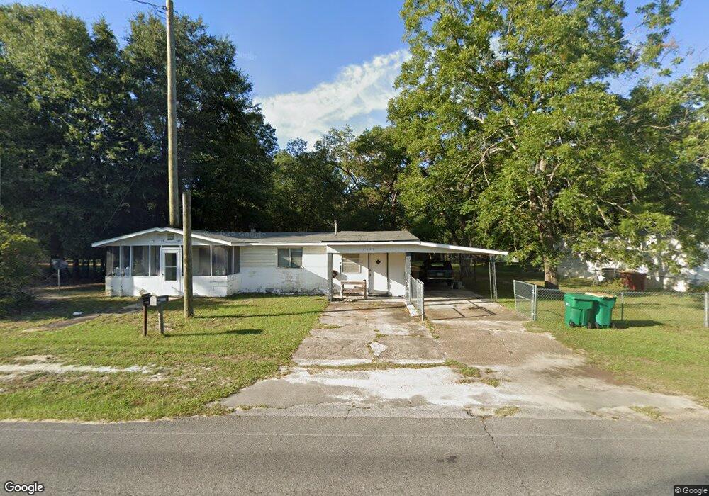
2865 Aplin Rd Crestview, FL 32539
Estimated Value: $144,000 - $257,000
3
Beds
3
Baths
2,316
Sq Ft
$87/Sq Ft
Est. Value
About This Home
This home is located at 2865 Aplin Rd, Crestview, FL 32539 and is currently estimated at $201,790, approximately $87 per square foot. 2865 Aplin Rd is a home located in Okaloosa County with nearby schools including Riverside Elementary School, Shoal River Middle School, and Crestview High School.
Ownership History
Date
Name
Owned For
Owner Type
Purchase Details
Closed on
Aug 5, 2024
Sold by
Maloy Gerald J and Maloy Emily A
Bought by
Maloy Gerald J and Maloy Emily A
Current Estimated Value
Purchase Details
Closed on
Jan 24, 2020
Sold by
Maloy Gerald J and Maloy Emily A
Bought by
Maloy Gerald J and Maloy Emily A
Purchase Details
Closed on
Mar 21, 2011
Sold by
Maloy Gerald J and Maloy Emily A
Bought by
Maloy Gerald J and Maloy Emily A
Purchase Details
Closed on
Sep 5, 2001
Sold by
Maloy Gerald and Estate Of Tallie G Maloy
Bought by
Maloy Gerald
Create a Home Valuation Report for This Property
The Home Valuation Report is an in-depth analysis detailing your home's value as well as a comparison with similar homes in the area
Home Values in the Area
Average Home Value in this Area
Purchase History
| Date | Buyer | Sale Price | Title Company |
|---|---|---|---|
| Maloy Gerald J | $100 | None Listed On Document | |
| Maloy Gerald J | -- | Attorney | |
| Maloy Gerald J | -- | None Available | |
| Maloy Gerald | -- | -- |
Source: Public Records
Tax History
| Year | Tax Paid | Tax Assessment Tax Assessment Total Assessment is a certain percentage of the fair market value that is determined by local assessors to be the total taxable value of land and additions on the property. | Land | Improvement |
|---|---|---|---|---|
| 2025 | $1,075 | $109,983 | -- | -- |
| 2024 | $998 | $108,907 | -- | -- |
| 2023 | $998 | $105,735 | $0 | $0 |
| 2022 | $967 | $102,655 | $0 | $0 |
| 2021 | $957 | $99,665 | $0 | $0 |
| 2020 | $941 | $98,289 | $0 | $0 |
| 2019 | $930 | $96,079 | $0 | $0 |
| 2018 | $922 | $94,288 | $0 | $0 |
| 2017 | $0 | $92,349 | $0 | $0 |
| 2016 | $902 | $90,450 | $0 | $0 |
| 2015 | -- | $89,821 | $0 | $0 |
| 2014 | -- | $90,501 | $0 | $0 |
Source: Public Records
Map
Nearby Homes
- 2880 Aplin Rd
- 10 Flora Cove
- TBD Patriot Ln
- 68+Acres Patriot Ln
- 2928 Aplin (33 Ac ) Rd
- 2928 Aplin Rd
- 216 Brookmeade Dr
- 515 E Robinson Ave
- 585 Brock Ave
- xxx Aplin (32 Ac ) Rd
- 658 Lee Ave
- 556 Lee Ave
- 402 Church St
- 609 E Edney Ave
- 401-409 Brock Ave
- 860 S Rayburn St
- 210 Citadel Ln
- 922 E Edney Ave
- 423 Brookmeade Dr
- 118 Iron Horse Dr E
Your Personal Tour Guide
Ask me questions while you tour the home.