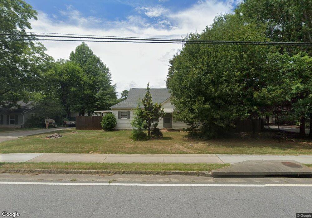
2865 Buford Hwy Duluth, GA 30096
Estimated Value: $288,880 - $369,000
3
Beds
1
Bath
1,080
Sq Ft
$311/Sq Ft
Est. Value
About This Home
This home is located at 2865 Buford Hwy, Duluth, GA 30096 and is currently estimated at $335,960, approximately $311 per square foot. 2865 Buford Hwy is a home with nearby schools including Chattahoochee Elementary School, Coleman Middle School, and Duluth High School.
Ownership History
Date
Name
Owned For
Owner Type
Purchase Details
Closed on
Jan 23, 2017
Sold by
Gale T
Bought by
Jch Holding Properties Llc
Current Estimated Value
Purchase Details
Closed on
Apr 21, 2004
Sold by
Garner Delores B
Bought by
Allen Robert M
Create a Home Valuation Report for This Property
The Home Valuation Report is an in-depth analysis detailing your home's value as well as a comparison with similar homes in the area
Home Values in the Area
Average Home Value in this Area
Purchase History
| Date | Buyer | Sale Price | Title Company |
|---|---|---|---|
| Jch Holding Properties Llc | $900,000 | -- | |
| Allen Gale T | -- | -- | |
| Allen Robert M | $185,000 | -- |
Source: Public Records
Tax History
| Year | Tax Paid | Tax Assessment Tax Assessment Total Assessment is a certain percentage of the fair market value that is determined by local assessors to be the total taxable value of land and additions on the property. | Land | Improvement |
|---|---|---|---|---|
| 2025 | $421 | $52,840 | $28,000 | $24,840 |
| 2024 | $1,691 | $52,840 | $28,000 | $24,840 |
| 2023 | $1,691 | $52,840 | $28,000 | $24,840 |
| 2022 | $1,504 | $46,840 | $22,000 | $24,840 |
| 2021 | $3,583 | $109,240 | $100,000 | $9,240 |
| 2020 | $3,610 | $109,240 | $100,000 | $9,240 |
| 2019 | $4,869 | $109,240 | $100,000 | $9,240 |
| 2018 | $1,722 | $52,000 | $6,200 | $45,800 |
| 2016 | $2,272 | $68,720 | $62,520 | $6,200 |
| 2015 | $3,058 | $68,720 | $62,520 | $6,200 |
| 2014 | $2,319 | $68,720 | $62,520 | $6,200 |
Source: Public Records
Map
Nearby Homes
- 3590 North St
- 3592 North St
- 3653 North St
- 3706 Thornbrooke Ct
- 2717 Kenwood Dr
- 3132 Hill St NW Unit 1
- 2643 Timberbrooke Place
- 3607 W Lawrenceville St
- 3833 Stonecroft Place
- 3411 Swallowtail Terrace
- 3598 Parkridge Pointe
- 3207 Hill St
- 3830 Gallant Fox Ct
- 3614 Clearbrooke Way
- 3250 Governors Ct
- 3880 Gallant Fox Ct
- 3080 Governors Ave
- 3460 Hardy St
- 2745 Saxon Dr
- 3081 Frankie Ln
- 2855 Buford Hwy
- 2866 Buford Hwy
- 2845 Buford Hwy
- 2835 Buford Hwy
- 2895 Buford Hwy
- 2862 Buford Hwy
- 3463 Thompson St
- 2881 Buford Hwy
- 3897 Main St NW Unit 8
- 3877 Main St NW Unit 10
- 2857 Main St
- 2825 Buford Hwy
- 3542 North St
- 3554 South St
- 2805 Buford Hwy Unit 106
- 2805 Buford Hwy Unit 105
- 2805 Buford Hwy
- 2781 Pine Cone Ln
- 2791 Pine Cone Ln
- 2925 Buford Hwy
Your Personal Tour Guide
Ask me questions while you tour the home.