2865 N 1100 W Shipshewana, IN 46565
Estimated Value: $345,000 - $497,557
2
Beds
3
Baths
1,680
Sq Ft
$256/Sq Ft
Est. Value
About This Home
This home is located at 2865 N 1100 W, Shipshewana, IN 46565 and is currently estimated at $430,639, approximately $256 per square foot. 2865 N 1100 W is a home located in LaGrange County with nearby schools including Meadowview Elementary School, Westview Elementary School, and Westview Junior/Senior High School.
Ownership History
Date
Name
Owned For
Owner Type
Purchase Details
Closed on
Dec 22, 2023
Sold by
Bontrager Karl E and Bontrager Anne R
Bought by
Bontrager Orla L and Bontrager Dorene
Current Estimated Value
Home Financials for this Owner
Home Financials are based on the most recent Mortgage that was taken out on this home.
Original Mortgage
$220,000
Outstanding Balance
$216,306
Interest Rate
7.44%
Mortgage Type
New Conventional
Estimated Equity
$214,333
Purchase Details
Closed on
Jan 13, 2016
Sold by
Kevin D Troyer
Bought by
Bontrager Karl E and Bontrager Karl E
Create a Home Valuation Report for This Property
The Home Valuation Report is an in-depth analysis detailing your home's value as well as a comparison with similar homes in the area
Home Values in the Area
Average Home Value in this Area
Purchase History
| Date | Buyer | Sale Price | Title Company |
|---|---|---|---|
| Bontrager Orla L | $520,000 | None Listed On Document | |
| Bontrager Karl E | $328,000 | Lakeland Title Company |
Source: Public Records
Mortgage History
| Date | Status | Borrower | Loan Amount |
|---|---|---|---|
| Open | Bontrager Orla L | $220,000 |
Source: Public Records
Tax History Compared to Growth
Tax History
| Year | Tax Paid | Tax Assessment Tax Assessment Total Assessment is a certain percentage of the fair market value that is determined by local assessors to be the total taxable value of land and additions on the property. | Land | Improvement |
|---|---|---|---|---|
| 2024 | $2,268 | $362,400 | $51,100 | $311,300 |
| 2023 | $2,064 | $339,600 | $49,200 | $290,400 |
| 2022 | $1,944 | $306,700 | $42,300 | $264,400 |
| 2021 | $1,037 | $206,300 | $35,000 | $171,300 |
| 2020 | $1,063 | $206,400 | $34,000 | $172,400 |
| 2019 | $997 | $196,900 | $34,000 | $162,900 |
| 2018 | $942 | $184,700 | $33,600 | $151,100 |
| 2017 | $883 | $175,500 | $33,600 | $141,900 |
| 2016 | $1,063 | $202,700 | $33,600 | $169,100 |
| 2014 | $920 | $177,600 | $33,600 | $144,000 |
| 2013 | $920 | $179,100 | $33,600 | $145,500 |
Source: Public Records
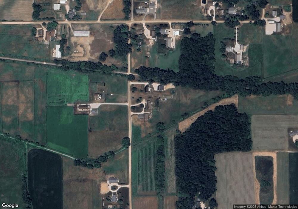
Map
Nearby Homes
- 3360 N 980 W
- 3295 N 980 W
- 9155 W 360 N
- 52690 Rachael Ct
- 11306 Fishers Pond
- 5980 N 1080 W
- 53982 Midnight Star
- 365 Country Ln
- 0 Brittany Ct Unit 202535246
- 0 Brittany Ct Unit 202535245
- 306 Dawn Estates Dr
- 3820 N 760 W
- 525 S Main St
- 1223 Park Way
- 1235 Southbrooke Dr
- 53048 State Road 13
- 510 Crystal Valley Dr
- 622 Bristol Ave
- 12837 Spoonbill Ct
- 54795 Winding River Dr