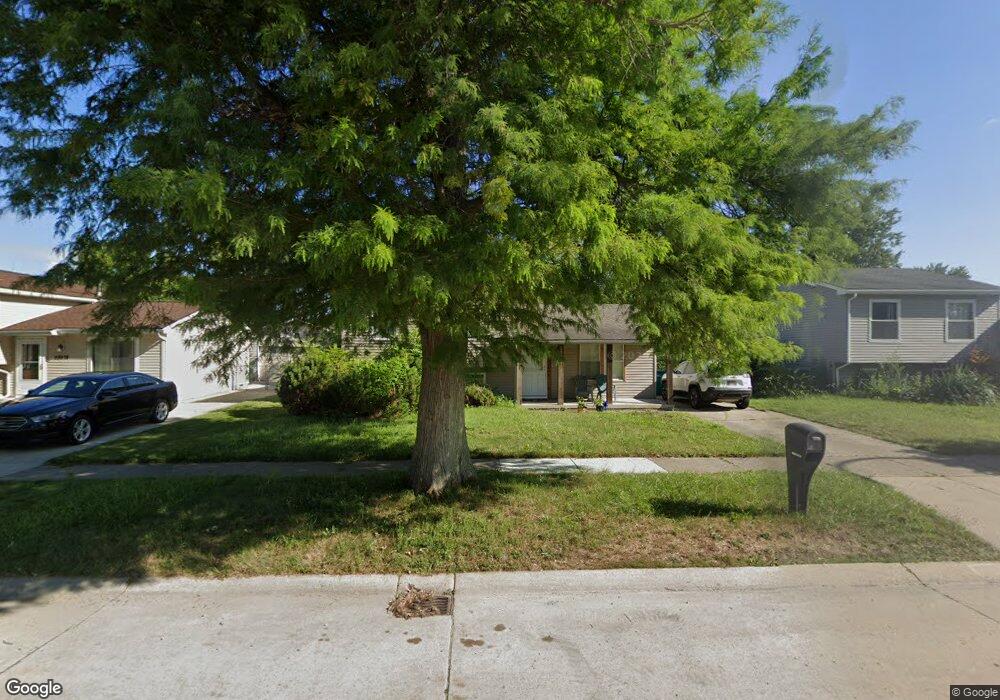
28664 Burning Tree Ln Romulus, MI 48174
Estimated Value: $190,956 - $209,000
3
Beds
1
Bath
1,376
Sq Ft
$147/Sq Ft
Est. Value
About This Home
This home is located at 28664 Burning Tree Ln, Romulus, MI 48174 and is currently estimated at $201,739, approximately $146 per square foot. 28664 Burning Tree Ln is a home with nearby schools including Halecreek Elementary School, Romulus Middle School, and Romulus Senior High School.
Ownership History
Date
Name
Owned For
Owner Type
Purchase Details
Closed on
Dec 1, 2015
Sold by
Hermenau Terrance C
Bought by
Hermenau Terrance C and Rhoton Thomas E
Current Estimated Value
Purchase Details
Closed on
Jun 13, 2008
Sold by
Trott & Trott Pc
Bought by
Hermenau Terrance
Purchase Details
Closed on
Oct 12, 2007
Sold by
Washington Mutual Bank
Bought by
Federal National Mortgage Association
Purchase Details
Closed on
Oct 10, 2007
Sold by
Anderson James M
Bought by
Washington Mutual Bank
Create a Home Valuation Report for This Property
The Home Valuation Report is an in-depth analysis detailing your home's value as well as a comparison with similar homes in the area
Home Values in the Area
Average Home Value in this Area
Purchase History
| Date | Buyer | Sale Price | Title Company |
|---|---|---|---|
| Hermenau Terrance C | -- | None Available | |
| Hermenau Terrance | $32,000 | Warranty Title Agency Llc | |
| Federal National Mortgage Association | -- | None Available | |
| Washington Mutual Bank | $78,066 | None Available |
Source: Public Records
Tax History
| Year | Tax Paid | Tax Assessment Tax Assessment Total Assessment is a certain percentage of the fair market value that is determined by local assessors to be the total taxable value of land and additions on the property. | Land | Improvement |
|---|---|---|---|---|
| 2025 | $2,539 | $87,800 | $0 | $0 |
| 2024 | $2,521 | $81,600 | $0 | $0 |
| 2023 | $2,421 | $69,400 | $0 | $0 |
| 2022 | $2,674 | $67,600 | $0 | $0 |
| 2021 | $2,604 | $52,000 | $0 | $0 |
| 2020 | $2,560 | $51,400 | $0 | $0 |
| 2019 | $2,532 | $41,200 | $0 | $0 |
| 2018 | $1,882 | $39,900 | $0 | $0 |
| 2017 | $841 | $39,300 | $0 | $0 |
| 2016 | $2,249 | $34,000 | $0 | $0 |
| 2015 | $3,170 | $31,700 | $0 | $0 |
| 2013 | $3,809 | $42,900 | $0 | $0 |
| 2012 | $1,499 | $37,200 | $4,700 | $32,500 |
Source: Public Records
Map
Nearby Homes
- 28510 Halecreek St
- 28567 Forest Dale St
- 28339 Leroy St
- 16265 Harrison
- 16277 Harrison
- 15777 Harrison
- 15756 Woodmont St
- 15721 Harrison St
- 15654 Isabelle St
- 16913 Aberdeen Dr Unit 220
- 15350 Woodmont St
- 16110 Farnum St
- 15527 Meadow St
- 16068 Middlebelt Rd
- 00 Eureka Rd
- 15900 Sandburg St
- 29934 Spain St
- 30058 Halecreek St
- 15532 Wellington St
- 27040 Stacy St
- 28650 Burning Tree Ln
- 28583 Leroy St
- 28678 Burning Tree Ln
- 28569 Leroy St
- 28595 Leroy St
- 28636 Burning Tree Ln
- 28692 Burning Tree Ln
- 28555 Leroy St
- 28709 Leroy St
- 28541 Leroy St
- 28706 Burning Tree Ln Unit Bldg-Unit
- 28706 Burning Tree Ln
- 28659 Burning Tree Ln
- 28723 Leroy St
- 28673 Burning Tree Ln
- 28645 Burning Tree Ln
- 28608 Burning Tree Ln
- 28631 Burning Tree Ln
- 28687 Burning Tree Ln
- 28529 Leroy St
Your Personal Tour Guide
Ask me questions while you tour the home.