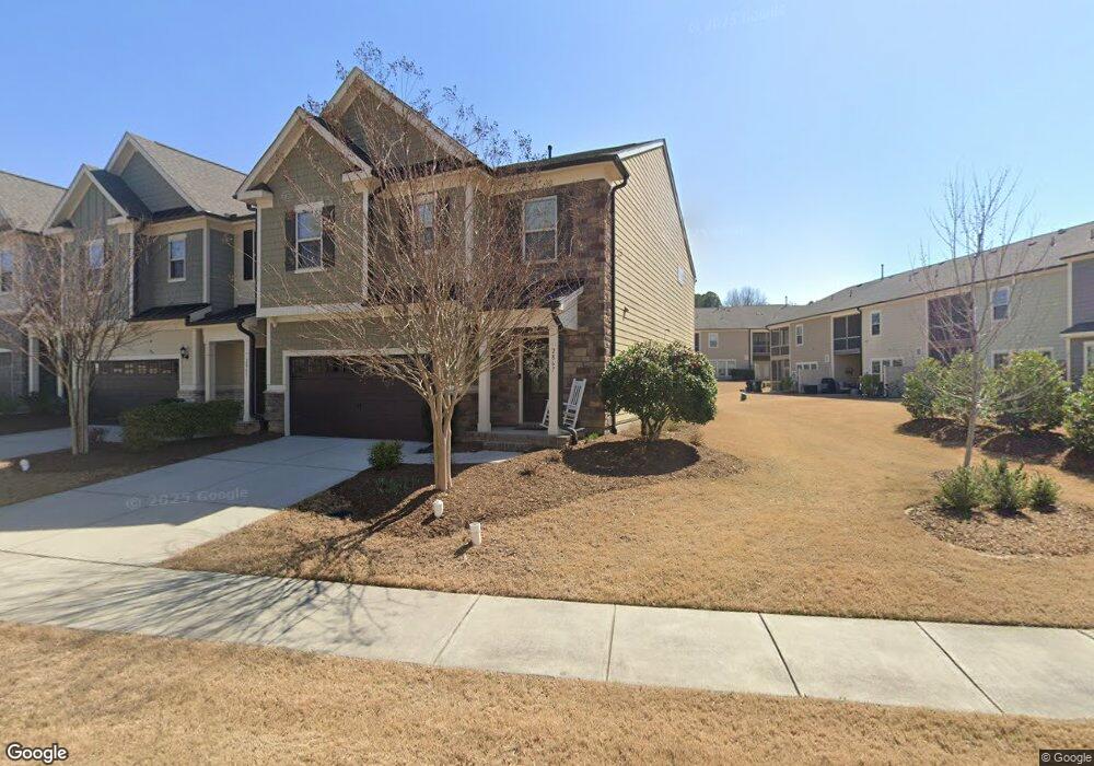
2867 Haw River Trail Unit BC Lot 489 Apex, NC 27502
Friendship NeighborhoodEstimated Value: $522,000 - $550,000
3
Beds
4
Baths
2,518
Sq Ft
$214/Sq Ft
Est. Value
About This Home
This home is located at 2867 Haw River Trail Unit BC Lot 489, Apex, NC 27502 and is currently estimated at $538,505, approximately $213 per square foot. 2867 Haw River Trail Unit BC Lot 489 is a home located in Wake County with nearby schools including Apex Friendship Elementary, Apex Friendship Middle School, and Apex Friendship High School.
Ownership History
Date
Name
Owned For
Owner Type
Purchase Details
Closed on
Jul 28, 2017
Sold by
Pulte Home Company Llc
Bought by
Andrews Mark J and Andrews Karen B
Current Estimated Value
Home Financials for this Owner
Home Financials are based on the most recent Mortgage that was taken out on this home.
Original Mortgage
$318,752
Outstanding Balance
$265,614
Interest Rate
3.91%
Mortgage Type
New Conventional
Estimated Equity
$272,891
Create a Home Valuation Report for This Property
The Home Valuation Report is an in-depth analysis detailing your home's value as well as a comparison with similar homes in the area
Home Values in the Area
Average Home Value in this Area
Purchase History
| Date | Buyer | Sale Price | Title Company |
|---|---|---|---|
| Andrews Mark J | $398,500 | None Available |
Source: Public Records
Mortgage History
| Date | Status | Borrower | Loan Amount |
|---|---|---|---|
| Open | Andrews Mark J | $318,752 |
Source: Public Records
Tax History Compared to Growth
Tax History
| Year | Tax Paid | Tax Assessment Tax Assessment Total Assessment is a certain percentage of the fair market value that is determined by local assessors to be the total taxable value of land and additions on the property. | Land | Improvement |
|---|---|---|---|---|
| 2025 | $4,573 | $521,437 | $110,000 | $411,437 |
| 2024 | $4,470 | $521,437 | $110,000 | $411,437 |
| 2023 | $4,022 | $364,808 | $70,000 | $294,808 |
| 2022 | $3,776 | $364,808 | $70,000 | $294,808 |
| 2021 | $3,632 | $364,808 | $70,000 | $294,808 |
| 2020 | $3,595 | $364,808 | $70,000 | $294,808 |
| 2019 | $3,546 | $310,496 | $80,000 | $230,496 |
| 2018 | $3,340 | $310,496 | $80,000 | $230,496 |
| 2017 | $0 | $80,000 | $80,000 | $0 |
Source: Public Records
Map
Nearby Homes
- 1913 Stanlake Dr
- 610 Cable Ct
- 616 Cable Ct
- 0-0 Mount Zion Church Rd
- 0 Mount Zion Church Rd
- 2701 Sugar Mountain Way
- 2704 Bushy Lake Cove
- 3112 Mavisbank Cir
- 3020 Mavisbank Cir
- 614 Cable Ct
- 2876 MacIntosh Woods Dr
- 2508 Whistling Quail Run
- 2751 Lake Waccamaw Trail
- 2010 Song Breeze Ln
- 3138 Curling Creek Dr
- 2849 Dallas Valley Ln
- 3156 Curling Creek Dr
- 2928 Murray Ridge Trail
- 1956 Lazio Ln
- 3209 Curling Creek Dr
- 2867 Haw River Trail
- 2865 Haw River Trail Unit BC Lot 488
- 2865 Haw River Trail
- 2863 Haw River Trail Unit BC Lot 487
- 2863 Haw River Trail
- 1883 Blue Jay Point Unit BC Lot 491
- 1883 Blue Jay Point
- 1881 Blue Jay Point Unit BC Lot 490
- 2861 Haw River Trail
- 2861 Haw River Trail Unit BC Lot 486
- 1885 Blue Jay Point Unit BC Lot 492
- 1885 Blue Jay Point
- 1887 Blue Jay Point Unit BC Lot 493
- 1887 Blue Jay Point
- 2870 Haw River Trail Unit BC Lot 533
- 2870 Haw River Trail
- 2872 Haw River Trail Unit BC Lot 532
- 2870 Haw R Trail
- 2324 Mount Zion Church Rd
- 2874 Haw River Trail Unit BC Lot 531