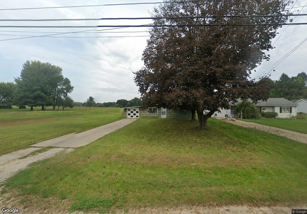
2867 Territorial Rd Benton Harbor, MI 49022
Benton Heights NeighborhoodEstimated Value: $81,577 - $109,000
2
Beds
1
Bath
750
Sq Ft
$130/Sq Ft
Est. Value
About This Home
This home is located at 2867 Territorial Rd, Benton Harbor, MI 49022 and is currently estimated at $97,644, approximately $130 per square foot. 2867 Territorial Rd is a home located in Berrien County with nearby schools including Fair Plain Middle School, Benton Harbor High School, and Mildred C. Wells Preparatory Academy.
Ownership History
Date
Name
Owned For
Owner Type
Purchase Details
Closed on
Feb 16, 2005
Sold by
Garlanger Brandan
Bought by
Fortune Stoney
Current Estimated Value
Home Financials for this Owner
Home Financials are based on the most recent Mortgage that was taken out on this home.
Original Mortgage
$44,000
Outstanding Balance
$22,438
Interest Rate
5.8%
Mortgage Type
Purchase Money Mortgage
Estimated Equity
$75,206
Purchase Details
Closed on
Nov 28, 2001
Purchase Details
Closed on
Apr 23, 1991
Purchase Details
Closed on
May 14, 1985
Purchase Details
Closed on
Sep 27, 1983
Purchase Details
Closed on
Aug 23, 1983
Purchase Details
Closed on
Aug 12, 1981
Create a Home Valuation Report for This Property
The Home Valuation Report is an in-depth analysis detailing your home's value as well as a comparison with similar homes in the area
Home Values in the Area
Average Home Value in this Area
Purchase History
| Date | Buyer | Sale Price | Title Company |
|---|---|---|---|
| Fortune Stoney | $44,000 | Chicago Title Of Michigan | |
| -- | $36,500 | -- | |
| -- | $2,000 | -- | |
| -- | -- | -- | |
| -- | -- | -- | |
| -- | -- | -- | |
| -- | $25,000 | -- |
Source: Public Records
Mortgage History
| Date | Status | Borrower | Loan Amount |
|---|---|---|---|
| Open | Fortune Stoney | $44,000 |
Source: Public Records
Tax History Compared to Growth
Tax History
| Year | Tax Paid | Tax Assessment Tax Assessment Total Assessment is a certain percentage of the fair market value that is determined by local assessors to be the total taxable value of land and additions on the property. | Land | Improvement |
|---|---|---|---|---|
| 2025 | $746 | $30,300 | $0 | $0 |
| 2024 | $406 | $28,000 | $0 | $0 |
| 2023 | $386 | $27,500 | $0 | $0 |
| 2022 | $368 | $25,300 | $0 | $0 |
| 2021 | $655 | $23,900 | $400 | $23,500 |
| 2020 | $646 | $23,900 | $0 | $0 |
| 2019 | $634 | $19,200 | $300 | $18,900 |
Source: Public Records
Map
Nearby Homes
- VL Clinton Rd
- 0 Vl Clinton Rd
- 2480 Crawford Dr
- 846 N Benton Center Rd
- 617 Gestner Rd
- 2416 Highland Ave
- 1081 Villa Ct
- 948 Baldanza Ave
- 208 John Mccoy
- 640 O'Brien Dr
- 1626 Territorial Rd
- 566 S Blue Creek Rd
- 140 N Crystal Ave
- 4156 Echo Rd
- 0 Wickwire Rd
- 4262 Arrow Wood Curve
- 4520 Ross Dr
- 4540 Ross Dr
- 394 Linden St
- 1226 Chicago Ave
- 2875 Territorial Rd
- 2887 Territorial Rd
- 2821 Territorial Rd
- 2884 Territorial Rd
- 2913 Territorial Rd
- 2894 Territorial Rd
- 2918 Territorial Rd
- 2799 Territorial Rd
- 2862 Territorial Rd
- 2804 Territorial Rd
- 2796 Territorial Rd
- 2793 Territorial Rd
- 2957 Territorial Rd
- 2772 Territorial Rd
- 2950 Territorial Rd
- 2764 Territorial Rd
- 2975 Territorial Rd
- 2976 Territorial Rd
- 2962 Territorial Rd
- 2756 Territorial Rd