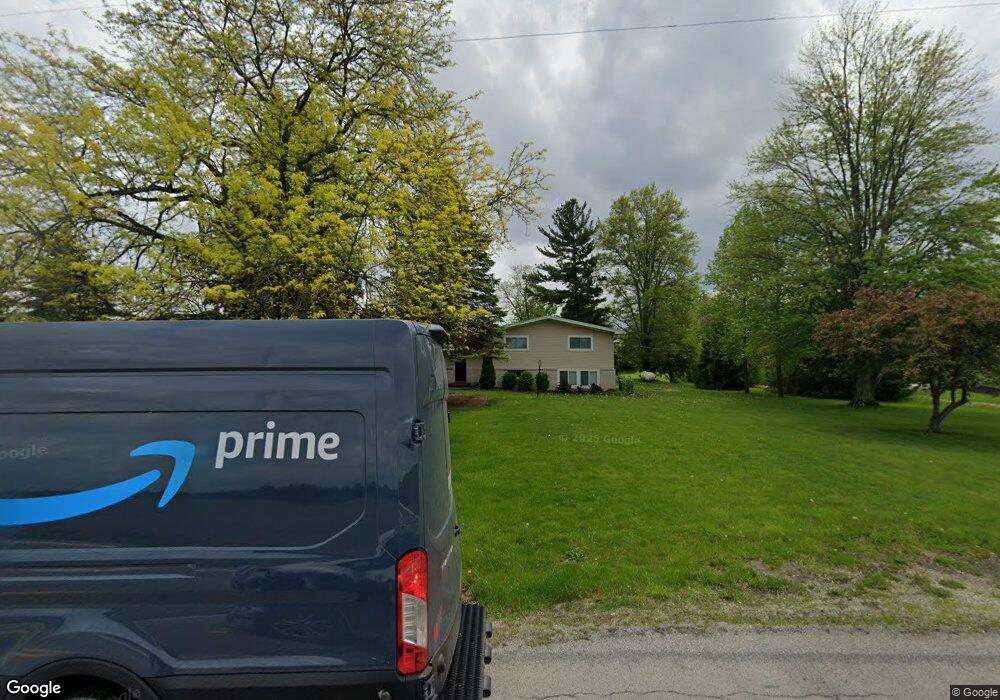
28672 State Route 18 Defiance, OH 43512
Estimated Value: $222,000 - $264,000
4
Beds
2
Baths
1,912
Sq Ft
$123/Sq Ft
Est. Value
About This Home
This home is located at 28672 State Route 18, Defiance, OH 43512 and is currently estimated at $235,963, approximately $123 per square foot. 28672 State Route 18 is a home located in Defiance County with nearby schools including Ayersville Elementary School and Ayersville High School.
Ownership History
Date
Name
Owned For
Owner Type
Purchase Details
Closed on
Nov 30, 2009
Sold by
Trame Barbara A
Bought by
Fry James E and Fry Andrea M
Current Estimated Value
Home Financials for this Owner
Home Financials are based on the most recent Mortgage that was taken out on this home.
Original Mortgage
$100,000
Interest Rate
4.95%
Mortgage Type
New Conventional
Create a Home Valuation Report for This Property
The Home Valuation Report is an in-depth analysis detailing your home's value as well as a comparison with similar homes in the area
Purchase History
| Date | Buyer | Sale Price | Title Company |
|---|---|---|---|
| Fry James E | $93,750 | -- |
Source: Public Records
Mortgage History
| Date | Status | Borrower | Loan Amount |
|---|---|---|---|
| Closed | Fry James E | $100,000 |
Source: Public Records
Tax History
| Year | Tax Paid | Tax Assessment Tax Assessment Total Assessment is a certain percentage of the fair market value that is determined by local assessors to be the total taxable value of land and additions on the property. | Land | Improvement |
|---|---|---|---|---|
| 2025 | $2,167 | $57,950 | $5,690 | $52,260 |
| 2024 | $2,167 | $57,950 | $5,690 | $52,260 |
| 2023 | $2,146 | $57,950 | $5,690 | $52,260 |
| 2022 | $2,229 | $50,340 | $5,290 | $45,050 |
| 2021 | $2,229 | $50,340 | $5,290 | $45,050 |
| 2020 | $2,272 | $50,340 | $5,290 | $45,050 |
| 2019 | $2,040 | $45,790 | $5,270 | $40,520 |
| 2018 | $2,017 | $45,790 | $5,270 | $40,520 |
| 2017 | $2,003 | $45,791 | $5,271 | $40,520 |
| 2016 | $1,848 | $42,721 | $5,222 | $37,499 |
| 2015 | $861 | $42,721 | $5,222 | $37,499 |
| 2014 | $861 | $42,721 | $5,222 | $37,499 |
| 2013 | $861 | $42,721 | $5,222 | $37,499 |
| 2012 | $861 | $42,721 | $5,222 | $37,499 |
Source: Public Records
Map
Nearby Homes
- 28643 Standley Rd
- 28656 Steinmaier Rd
- 29024 Ayersville Pleasant Bend Rd
- 13205 Oris Ave
- 29235 Bowman Rd
- 879 Regonda Dr
- 1744 Lora Ln
- 1650 Fairlawn St
- 1459 Deerwood Dr
- 15835 Highland Center Rd
- 14742 Dohoney Rd
- 1506 Bristow Ct
- 1365 Heatherdowns Dr
- 1408 Heatherdowns Dr
- 649 Burning Tree Dr
- 655 Burning Tree Dr
- 673 Burning Tree Dr
- 0 Domersville Rd
- 1398 Milwaukee Ave
- 13332 Ohio 15
- 28672 State Route 18
- 28644 State Route 18
- 28644 Ohio 18
- 28626 State Route 18
- 28629 State Route 18
- 28602 State Route 18
- 28804 State Route 18
- 28610 Standley Rd
- 28457 State Route 18
- 28486 Standley Rd
- 28225 Hagy Rd
- 28766 Hagy Rd
- 28479 Standley Rd
- 12564 Wolf Rd
- 28859 Hagy Rd
- 12236 Harris Rd
- 28681 Standley Rd
- 28459 Standley Rd
- 12723 Wolf Rd
- 28132 Hagy Rd
Your Personal Tour Guide
Ask me questions while you tour the home.