Estimated Value: $206,000 - $250,227
4
Beds
2
Baths
1,740
Sq Ft
$130/Sq Ft
Est. Value
About This Home
This home is located at 2868 State Route 17c, Owego, NY 13827 and is currently estimated at $226,807, approximately $130 per square foot. 2868 State Route 17c is a home located in Tioga County with nearby schools including Apalachin Elementary School, Owego-Apalachin Middle School, and Owego Free Academy.
Ownership History
Date
Name
Owned For
Owner Type
Purchase Details
Closed on
Dec 28, 2017
Sold by
Wagner Leslie D
Bought by
Sands Richard D and Brown Ashley M
Current Estimated Value
Home Financials for this Owner
Home Financials are based on the most recent Mortgage that was taken out on this home.
Original Mortgage
$99,500
Outstanding Balance
$83,880
Interest Rate
3.9%
Mortgage Type
Purchase Money Mortgage
Estimated Equity
$142,927
Create a Home Valuation Report for This Property
The Home Valuation Report is an in-depth analysis detailing your home's value as well as a comparison with similar homes in the area
Home Values in the Area
Average Home Value in this Area
Purchase History
| Date | Buyer | Sale Price | Title Company |
|---|---|---|---|
| Sands Richard D | $99,500 | -- |
Source: Public Records
Mortgage History
| Date | Status | Borrower | Loan Amount |
|---|---|---|---|
| Open | Sands Richard D | $99,500 |
Source: Public Records
Tax History Compared to Growth
Tax History
| Year | Tax Paid | Tax Assessment Tax Assessment Total Assessment is a certain percentage of the fair market value that is determined by local assessors to be the total taxable value of land and additions on the property. | Land | Improvement |
|---|---|---|---|---|
| 2024 | $6,437 | $126,700 | $7,500 | $119,200 |
| 2023 | $64 | $126,700 | $7,500 | $119,200 |
| 2022 | $6,465 | $126,700 | $7,500 | $119,200 |
| 2021 | $6,372 | $126,700 | $7,500 | $119,200 |
| 2020 | $984 | $41,195 | $7,500 | $33,695 |
| 2019 | $1,161 | $41,195 | $7,500 | $33,695 |
| 2018 | $1,946 | $41,195 | $7,500 | $33,695 |
| 2017 | $5,848 | $126,700 | $7,500 | $119,200 |
| 2016 | $5,775 | $126,700 | $7,500 | $119,200 |
| 2015 | -- | $126,700 | $7,500 | $119,200 |
| 2014 | -- | $126,700 | $7,500 | $119,200 |
Source: Public Records
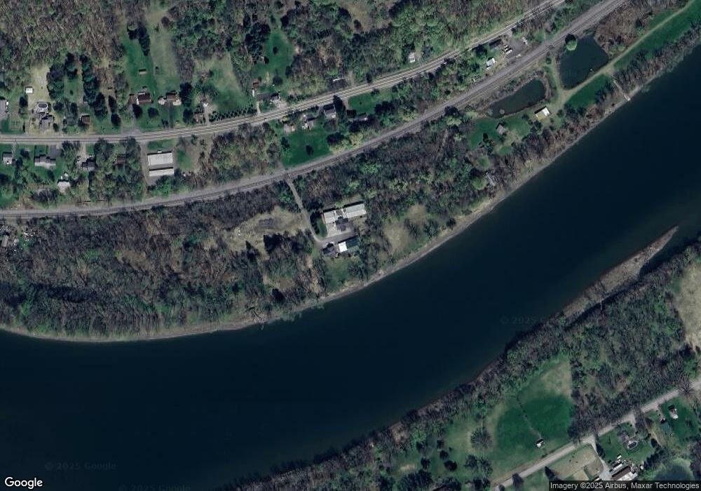
Map
Nearby Homes
- 2912 New York 17c
- 2744 State Route 17c
- 63 Holmes Rd Unit 65
- 1442 Marshland Rd
- 68 Degroat Rd
- 3 Lincolnshire Blvd
- 945 Forest Hill Rd
- 2686 Marshland Rd
- 00 Sunnyside Dr S
- 0 Sunnyside Dr S
- 797 Lisle Rd
- 563 Lisle Rd
- 5531 State Route 17c
- 0 New York 434
- 00 New York 434
- 21 Sunnyside Dr
- 1003 Tilbury Hill Rd
- 21 King Point Cir S
- 499 E Front St
- 525 E Main St
- 2930 State Route 17c
- 2930 New York 17c
- 2912 State Route 17c
- 3112 State Route 17c
- 2877 State Route 17c
- 2813 State Route 17c
- 3114 State Route 17c
- 3001 State Route 17c
- 2791 State Route 17c
- 461 Marshland Rd
- 2765 State Route 17c
- 3052 State Route 17c
- 2724 State Route 17c
- 407 Marshland Rd
- 506 Marshland Rd
- 2707 State Route 17c
- 2690 State Route 17c
- 2689 State Route 17c
- 2562 State Route 17c
- 480 Marshland Rd