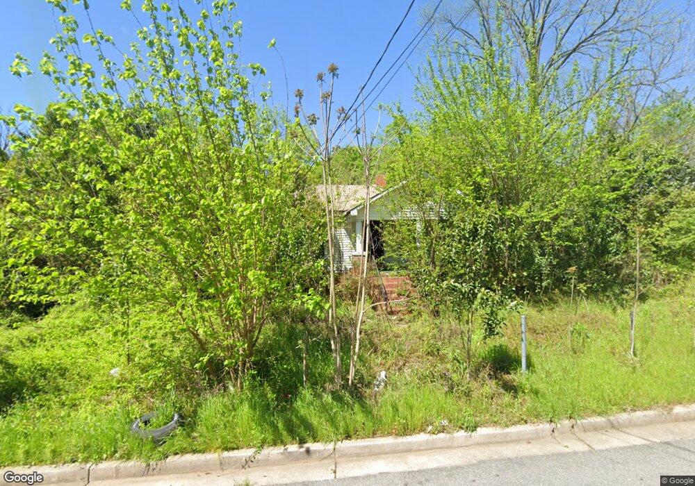
2869 Blount St Macon, GA 31206
Estimated Value: $45,000 - $48,043
2
Beds
1
Bath
960
Sq Ft
$49/Sq Ft
Est. Value
About This Home
This home is located at 2869 Blount St, Macon, GA 31206 and is currently estimated at $46,761, approximately $48 per square foot. 2869 Blount St is a home located in Bibb County with nearby schools including Ingram-Pye Elementary School, Central High School, and Cirrus Charter Academy.
Ownership History
Date
Name
Owned For
Owner Type
Purchase Details
Closed on
Nov 17, 2023
Sold by
Tax Commissioner And Ex Officio Sheriff
Bought by
Friday Management Group Llc
Current Estimated Value
Purchase Details
Closed on
Sep 18, 2014
Sold by
The Harpagon Co Llc
Bought by
Rl Bb Harp Reo
Purchase Details
Closed on
May 31, 2006
Sold by
Heartwood 11 Llc
Bought by
Harpagon Company Llc
Purchase Details
Closed on
Mar 1, 2005
Create a Home Valuation Report for This Property
The Home Valuation Report is an in-depth analysis detailing your home's value as well as a comparison with similar homes in the area
Home Values in the Area
Average Home Value in this Area
Purchase History
| Date | Buyer | Sale Price | Title Company |
|---|---|---|---|
| Friday Management Group Llc | $9,000 | None Listed On Document | |
| Rl Bb Harp Reo | $22,163 | None Available | |
| Rl Bb Harp Reo Inc | $21,200 | -- | |
| Harpagon Company Llc | $10,000 | None Availabale | |
| -- | $10,000 | -- |
Source: Public Records
Tax History Compared to Growth
Tax History
| Year | Tax Paid | Tax Assessment Tax Assessment Total Assessment is a certain percentage of the fair market value that is determined by local assessors to be the total taxable value of land and additions on the property. | Land | Improvement |
|---|---|---|---|---|
| 2025 | $462 | $18,817 | $1,680 | $17,137 |
| 2024 | $478 | $18,817 | $1,680 | $17,137 |
| 2023 | $406 | $15,984 | $1,120 | $14,864 |
| 2022 | $405 | $11,689 | $1,974 | $9,715 |
| 2021 | $300 | $7,890 | $951 | $6,939 |
| 2020 | $306 | $7,890 | $951 | $6,939 |
| 2019 | $282 | $7,203 | $895 | $6,308 |
| 2018 | $612 | $7,203 | $895 | $6,308 |
| 2017 | $270 | $7,203 | $895 | $6,308 |
| 2016 | $249 | $7,204 | $895 | $6,308 |
| 2015 | $415 | $8,465 | $895 | $7,570 |
| 2014 | $477 | $8,465 | $895 | $7,570 |
Source: Public Records
Map
Nearby Homes
- 534 Hanson St
- 532 Nelson St
- 538 Cleveland St
- 554 Nelson St
- 2752 Antioch Rd
- 561 Rutherford Ave
- 2758 Houston Ave
- 622 Cleveland St
- 548 Colquitt St
- 579 Charles St
- 537 Colquitt St
- 648 Hightower Rd
- 678 Dixie Ave
- 624 Piedmont Ave
- 725 Saint James Ave
- 4098 Broadway
- 3402 Antioch Rd
- 534 Robert Henry St
- 587 Robert Henry St
- 0 Blount St Unit 8442619
- 0 Blount St Unit 7144707
- 0 Blount St
- 2889 Blount St
- 2845 Blount St
- 2886 Blount St
- 504 Hanson St
- 512 Hanson St
- 520 Hanson St
- 2872 Blount St
- 2890 Blount St
- 524 Hanson St
- 2829 Antioch Rd
- 2880 Simmons St S
- 2894 Simmons St S
- 2933 Blount St Unit 5H31-4D
- 2933 Blount St
- 526 Cleveland St
- 2920 Blount St
- 2862 Simmons St S