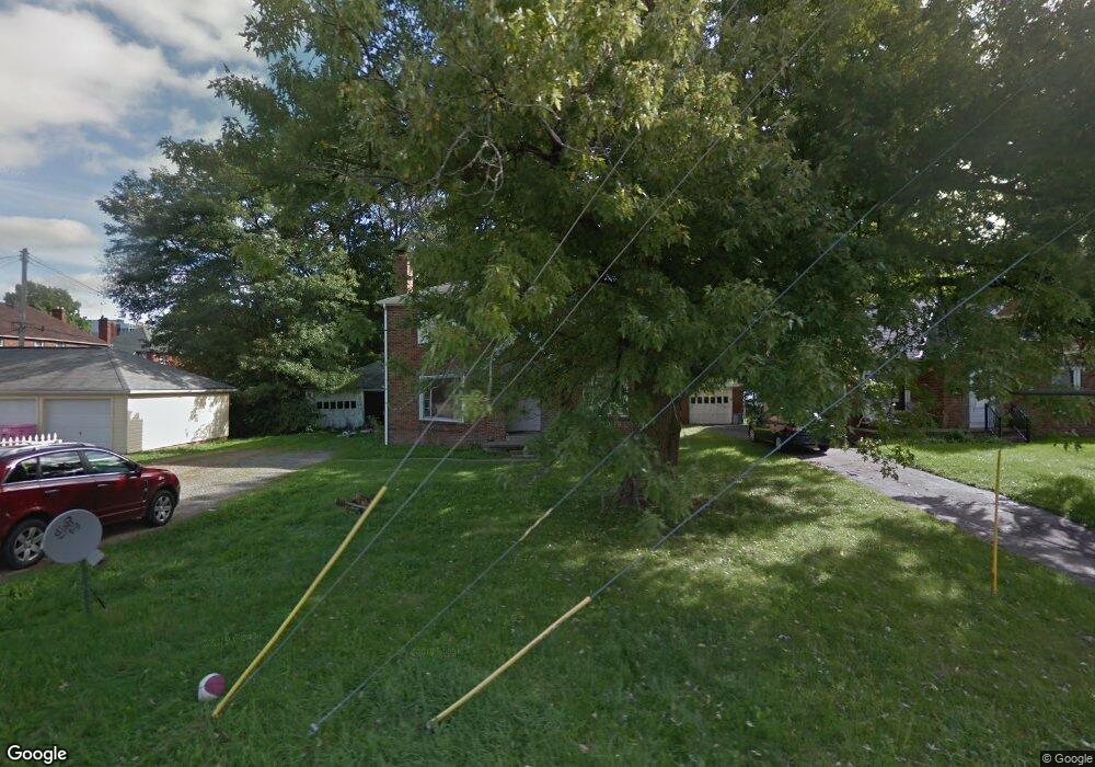
287 Bartley Ave Mansfield, OH 44903
Estimated Value: $92,142 - $219,000
4
Beds
2
Baths
2,120
Sq Ft
$69/Sq Ft
Est. Value
About This Home
This home is located at 287 Bartley Ave, Mansfield, OH 44903 and is currently estimated at $146,536, approximately $69 per square foot. 287 Bartley Ave is a home located in Richland County with nearby schools including Discovery School, St. Peter's High School/Junior High, and St. Peter's Elementary/Montessori School.
Ownership History
Date
Name
Owned For
Owner Type
Purchase Details
Closed on
Jan 9, 1998
Sold by
Stearns Sally A
Bought by
Mclaughlin Paul E
Current Estimated Value
Home Financials for this Owner
Home Financials are based on the most recent Mortgage that was taken out on this home.
Original Mortgage
$47,500
Outstanding Balance
$8,331
Interest Rate
7.26%
Mortgage Type
New Conventional
Estimated Equity
$138,205
Purchase Details
Closed on
Oct 22, 1990
Create a Home Valuation Report for This Property
The Home Valuation Report is an in-depth analysis detailing your home's value as well as a comparison with similar homes in the area
Home Values in the Area
Average Home Value in this Area
Purchase History
| Date | Buyer | Sale Price | Title Company |
|---|---|---|---|
| Mclaughlin Paul E | $45,600 | -- | |
| -- | $33,000 | -- |
Source: Public Records
Mortgage History
| Date | Status | Borrower | Loan Amount |
|---|---|---|---|
| Open | Mclaughlin Paul E | $47,500 |
Source: Public Records
Tax History Compared to Growth
Tax History
| Year | Tax Paid | Tax Assessment Tax Assessment Total Assessment is a certain percentage of the fair market value that is determined by local assessors to be the total taxable value of land and additions on the property. | Land | Improvement |
|---|---|---|---|---|
| 2024 | $757 | $15,800 | $2,960 | $12,840 |
| 2023 | $757 | $19,360 | $2,960 | $16,400 |
| 2022 | $768 | $13,440 | $2,400 | $11,040 |
| 2021 | $773 | $13,440 | $2,400 | $11,040 |
| 2020 | $791 | $13,440 | $2,400 | $11,040 |
| 2019 | $876 | $13,440 | $2,400 | $11,040 |
| 2018 | $865 | $13,440 | $2,400 | $11,040 |
| 2017 | $842 | $13,440 | $2,400 | $11,040 |
| 2016 | $924 | $14,310 | $3,200 | $11,110 |
| 2015 | $883 | $14,310 | $3,200 | $11,110 |
| 2014 | $871 | $14,310 | $3,200 | $11,110 |
| 2012 | $848 | $15,050 | $3,360 | $11,690 |
Source: Public Records
Map
Nearby Homes
- 257 Wood St
- 538 Broadview Ave
- 114 Vennum Ave
- 118 Lind Ave
- 126 Dawson Ave
- 133 Stewart Ave S
- 119 Carpenter Rd
- 88 Sherman Ave
- 76 Bartley Ave
- 135 Wood St
- 353 Sturges Ave
- 679 Coleman Rd
- 505 Wood St
- 0 Cline Ave Hedeen Abbeyfeale Unit 9066362
- 37 Baldwin Ave
- 71 Glenwood Blvd
- 709 Coleman Rd
- 118 Parkwood Blvd
- 131 Sturges Ave
- 120 Grover St
- 283 Bartley Ave
- 297 Bartley Ave
- 441 Parkview St
- 441 Bartley Ave
- 294 Poplar St
- 298 Poplar St
- 427 Parkview St Unit 429
- 307 Bartley Ave
- 286 Bartley Ave
- 290 Poplar St
- 433 Parkview St
- 304 Poplar St
- 282 Bartley Ave Unit 286
- 313 Bartley Ave
- 308 Poplar St
- 421 Parkview St Unit 423
- 459 Parkview St Unit 461
- 312 Poplar St
- 312 -314 Poplar St
- 426 Parkview St