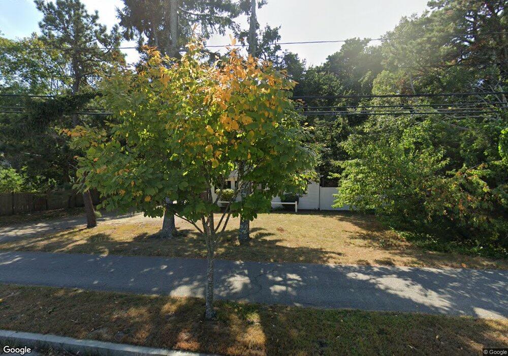
287 Bearses Way Hyannis, MA 02601
Estimated Value: $438,000 - $510,000
2
Beds
1
Bath
1,023
Sq Ft
$459/Sq Ft
Est. Value
About This Home
This home is located at 287 Bearses Way, Hyannis, MA 02601 and is currently estimated at $469,564, approximately $459 per square foot. 287 Bearses Way is a home located in Barnstable County with nearby schools including Hyannis West Elementary School, Barnstable United Elementary School, and Barnstable Intermediate School.
Ownership History
Date
Name
Owned For
Owner Type
Purchase Details
Closed on
Jul 19, 2022
Sold by
Lopes Pamela M
Bought by
Lopes Supplemental T
Current Estimated Value
Purchase Details
Closed on
Nov 29, 1990
Sold by
Greene Elsbeth C
Bought by
Lopes Pamela M
Home Financials for this Owner
Home Financials are based on the most recent Mortgage that was taken out on this home.
Original Mortgage
$71,900
Interest Rate
10.16%
Mortgage Type
Purchase Money Mortgage
Create a Home Valuation Report for This Property
The Home Valuation Report is an in-depth analysis detailing your home's value as well as a comparison with similar homes in the area
Home Values in the Area
Average Home Value in this Area
Purchase History
| Date | Buyer | Sale Price | Title Company |
|---|---|---|---|
| Lopes Supplemental T | -- | None Available | |
| Lopes Pamela M | $89,900 | -- |
Source: Public Records
Mortgage History
| Date | Status | Borrower | Loan Amount |
|---|---|---|---|
| Previous Owner | Lopes Pamela M | $7,000 | |
| Previous Owner | Lopes Pamela M | $11,414 | |
| Previous Owner | Lopes Pamela M | $71,900 |
Source: Public Records
Tax History Compared to Growth
Tax History
| Year | Tax Paid | Tax Assessment Tax Assessment Total Assessment is a certain percentage of the fair market value that is determined by local assessors to be the total taxable value of land and additions on the property. | Land | Improvement |
|---|---|---|---|---|
| 2025 | $3,389 | $365,600 | $135,800 | $229,800 |
| 2024 | $3,203 | $353,900 | $135,800 | $218,100 |
| 2023 | $3,127 | $326,700 | $130,400 | $196,300 |
| 2022 | $3,029 | $261,800 | $96,600 | $165,200 |
| 2021 | $2,773 | $232,800 | $91,500 | $141,300 |
| 2020 | $2,748 | $222,900 | $91,500 | $131,400 |
| 2019 | $2,580 | $205,100 | $86,400 | $118,700 |
| 2018 | $2,380 | $193,500 | $90,900 | $102,600 |
| 2017 | $2,011 | $167,700 | $69,500 | $98,200 |
| 2016 | $1,973 | $168,200 | $70,000 | $98,200 |
| 2015 | $2,002 | $173,000 | $67,600 | $105,400 |
Source: Public Records
Map
Nearby Homes
- 28 Bumpus Rd
- 178 Walnut St
- 57 Suffolk Ave
- 297 Compass Cir
- 213 Hinckley Rd
- 52 Maryalice Ln
- 12 Walnut St
- 199 Hamden Cir
- 321 Winter St
- 72 Grove St
- 7 Delta St
- 574 Main St
- 720 Pitchers Way Unit 48
- 49 Center St
- 24 Betty's Pond Rd Unit 1K
- 24 Bettys Pond Rd Unit K
- 112 W Main St Unit 8
- 112 W Main St Unit 7
- 112 W Main St Unit 6
- 112 W Main St Unit 4
- 283 Bearses Way
- 280 Bearses Way
- 275 Bearses Way
- 307 Bearses Way
- 300 Bearses Way Unit 2EA
- 300 Bearses Way
- 32 General Patton Dr
- 310 Bearses Way
- 265 Bearses Way
- 265 Bearses Way
- 14 Walton Ave
- 264 Bearses Way
- 33 General Patton Dr
- 31 General Patton Dr
- 123 Compass Cir
- 22 Plymouth Ave
- 35 General Patton Dr
- 25 Walton Ave
- 311 Bearses Way
- 255 Bearses Way