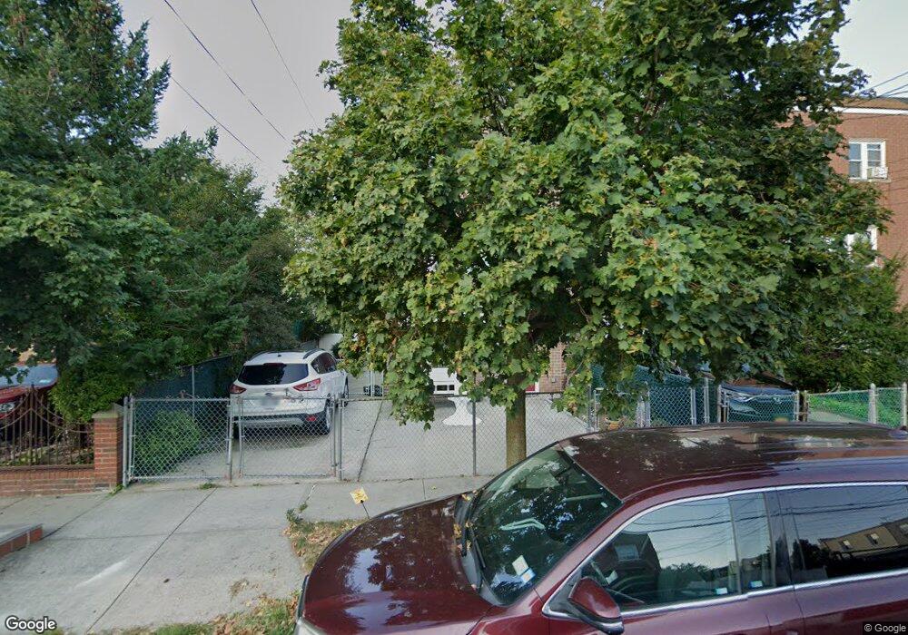
287 Calhoun Ave Bronx, NY 10465
Throgs Neck-Edgewater Park NeighborhoodEstimated Value: $726,283 - $761,000
Studio
--
Bath
1,944
Sq Ft
$384/Sq Ft
Est. Value
About This Home
This home is located at 287 Calhoun Ave, Bronx, NY 10465 and is currently estimated at $747,071, approximately $384 per square foot. 287 Calhoun Ave is a home located in Bronx County with nearby schools including P.S. 72 - Dr. William Dorney, Herbert H Lehman High School, and St. Frances de Chantal School.
Ownership History
Date
Name
Owned For
Owner Type
Purchase Details
Closed on
May 1, 2012
Sold by
Administratrix Shirley Aldebol As
Bought by
Cruz Linda A and Guerrero Marlon
Current Estimated Value
Home Financials for this Owner
Home Financials are based on the most recent Mortgage that was taken out on this home.
Original Mortgage
$355,219
Outstanding Balance
$241,102
Interest Rate
4%
Mortgage Type
New Conventional
Estimated Equity
$505,969
Purchase Details
Closed on
Apr 6, 2002
Sold by
Perez Jose D and Perez Nellie
Bought by
Espada Nellie
Create a Home Valuation Report for This Property
The Home Valuation Report is an in-depth analysis detailing your home's value as well as a comparison with similar homes in the area
Home Values in the Area
Average Home Value in this Area
Purchase History
We collect this data history from publicly available records. To have your information removed, we recommend requesting removal directly through your county’s website.
| Date | Buyer | Sale Price | Title Company |
|---|---|---|---|
| Cruz Linda A | $375,000 | -- | |
| Espada Nellie | -- | -- |
Source: Public Records
Mortgage History
We collect this data history from publicly available records. To have your information removed, we recommend requesting removal directly through your county’s website.
| Date | Status | Borrower | Loan Amount |
|---|---|---|---|
| Open | Cruz Linda A | $355,219 |
Source: Public Records
Tax History
| Year | Tax Paid | Tax Assessment Tax Assessment Total Assessment is a certain percentage of the fair market value that is determined by local assessors to be the total taxable value of land and additions on the property. | Land | Improvement |
|---|---|---|---|---|
| 2026 | $7,034 | $35,683 | $8,007 | $27,676 |
| 2025 | $6,637 | $35,023 | $8,141 | $26,882 |
| 2024 | $6,637 | $33,043 | $7,003 | $26,040 |
| 2023 | $6,665 | $32,818 | $7,409 | $25,409 |
| 2022 | $6,181 | $34,200 | $8,940 | $25,260 |
| 2021 | $5,955 | $35,880 | $8,940 | $26,940 |
| 2020 | $5,882 | $34,140 | $8,940 | $25,200 |
| 2019 | $5,467 | $29,580 | $8,940 | $20,640 |
| 2018 | $5,277 | $27,348 | $8,707 | $18,641 |
| 2017 | $4,960 | $25,800 | $8,940 | $16,860 |
| 2016 | $4,644 | $24,780 | $8,940 | $15,840 |
| 2015 | $2,890 | $24,322 | $9,812 | $14,510 |
| 2014 | $2,890 | $22,947 | $9,886 | $13,061 |
Source: Public Records
Map
Nearby Homes
- 276 Revere Ave
- 2882 Miles Ave
- 249 Calhoun Ave
- 260 Swinton Ave
- 249 Quincy Ave
- 276 Brinsmade Ave
- 244 Revere Ave
- 347 Quincy Ave
- 227 Calhoun Ave
- 238 Swinton Ave
- 228 Calhoun Ave
- 2858 Sampson Ave
- 351 Quincy Ave
- 4216 E Tremont Ave
- 220 Calhoun Ave
- 287 Logan Ave
- 310 Huntington Ave
- 239 Brinsmade Ave
- 320 Huntington Ave
- 2832 Harding Ave
- 289 Calhoun Ave
- 291 Calhoun Ave
- 293 Calhoun Ave
- 2834 Miles Ave
- 295 Calhoun Ave
- 279 Calhoun Ave
- 286 Quincy Ave
- 2828 Miles Ave
- 280 Quincy Ave
- 298 Quincy Ave
- 278 Quincy Ave
- 2850 Miles Ave
- 2850 Miles Ave Unit 1
- 288 Calhoun Ave
- 290 Calhoun Ave
- 286 Calhoun Ave
- 280 Calhoun Ave
- 280 Calhoun Ave
- 280 Calhoun Ave Unit B
- 280 Calhoun Ave Unit 2
Your Personal Tour Guide
Ask me questions while you tour the home.