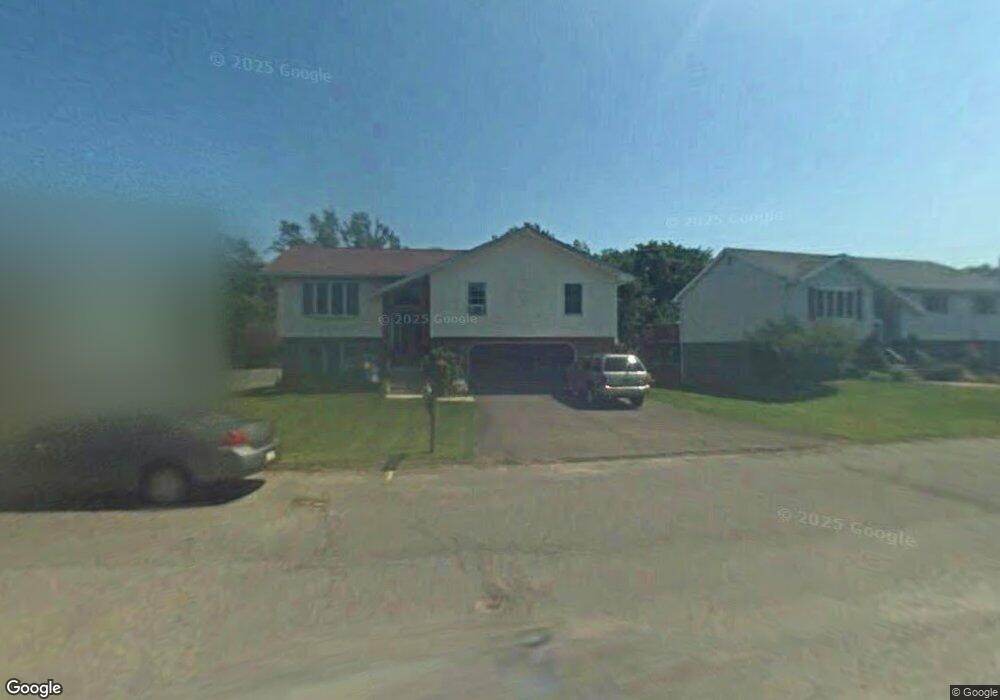
287 Christopher Dr Scranton, PA 18504
West Mountain NeighborhoodEstimated Value: $317,000 - $440,000
Studio
--
Bath
1,382
Sq Ft
$262/Sq Ft
Est. Value
About This Home
This home is located at 287 Christopher Dr, Scranton, PA 18504 and is currently estimated at $361,802, approximately $261 per square foot. 287 Christopher Dr is a home located in Lackawanna County with nearby schools including Isaac Tripp Elementary School, West Scranton Intrmd School, and West Scranton High School.
Ownership History
Date
Name
Owned For
Owner Type
Purchase Details
Closed on
Oct 19, 2012
Sold by
Powell Richard and Powell Lorraine
Bought by
Tumavitch Donald and Tumavitch Ruth Ann
Current Estimated Value
Home Financials for this Owner
Home Financials are based on the most recent Mortgage that was taken out on this home.
Original Mortgage
$170,838
Outstanding Balance
$119,875
Interest Rate
4.25%
Mortgage Type
FHA
Estimated Equity
$241,927
Create a Home Valuation Report for This Property
The Home Valuation Report is an in-depth analysis detailing your home's value as well as a comparison with similar homes in the area
Home Values in the Area
Average Home Value in this Area
Purchase History
| Date | Buyer | Sale Price | Title Company |
|---|---|---|---|
| Tumavitch Donald | $174,000 | None Available |
Source: Public Records
Mortgage History
| Date | Status | Borrower | Loan Amount |
|---|---|---|---|
| Open | Tumavitch Donald | $170,838 |
Source: Public Records
Tax History
| Year | Tax Paid | Tax Assessment Tax Assessment Total Assessment is a certain percentage of the fair market value that is determined by local assessors to be the total taxable value of land and additions on the property. | Land | Improvement |
|---|---|---|---|---|
| 2026 | $33,830 | $211,450 | $25,970 | $185,480 |
| 2025 | $8,244 | $25,000 | $5,000 | $20,000 |
| 2024 | $7,547 | $25,000 | $5,000 | $20,000 |
| 2023 | $7,547 | $25,000 | $5,000 | $20,000 |
| 2022 | $7,382 | $25,000 | $5,000 | $20,000 |
| 2021 | $7,382 | $25,000 | $5,000 | $20,000 |
| 2020 | $7,247 | $25,000 | $5,000 | $20,000 |
| 2019 | $6,821 | $25,000 | $5,000 | $20,000 |
| 2018 | $6,821 | $25,000 | $5,000 | $20,000 |
| 2017 | $6,704 | $25,000 | $5,000 | $20,000 |
| 2016 | $2,174 | $25,000 | $5,000 | $20,000 |
| 2015 | $5,067 | $25,000 | $5,000 | $20,000 |
| 2014 | -- | $25,000 | $5,000 | $20,000 |
Source: Public Records
Map
Nearby Homes
- 224 Dale Ave
- 310 Dale Ave
- 138 S Keyser South Ave
- 2749 Jackson St
- 0 Marginal Rd Unit GSBSC253025
- 0 Way
- 2712 Lafayette St
- 30 Glinko St
- 26-28 Glinko St
- 3032 1/2 Division St
- 6 Bald Mountain Rd Unit C
- 2133 35 Jackson St
- 0 R Luzerne St
- 107 Ridgeview Dr
- 2016 Price St
- 138-140 S Everett Ave
- 1922 Lafayette St
- 405 17th Ave
- 217 N Fillmore Ave
- 0 Sekol North L 2 Ave Unit GSBSC260836
- 293 Christopher Dr
- 281 Christopher Dr
- 102 Mary Ann St
- 299 Christopher Dr
- 275 Christopher Dr
- 101 Mary Ann St
- 2700 Division St
- 104 Mary Ann St
- 1 Frank Way
- 2710 Division St
- 103 Mary Ann St
- 218 Frances Ave
- 106 Mary Ann St
- 208 Frances Ave
- 204 Frances Ave
- 2720 Division St
- 222 Frances Ave
- 3 Frank Way
- 105 Mary Ann St
- 200 Frances Ave
Your Personal Tour Guide
Ask me questions while you tour the home.