287 Cline Branch Rd Bryson City, NC 28713
Estimated Value: $401,000 - $887,000
3
Beds
3
Baths
4,336
Sq Ft
$124/Sq Ft
Est. Value
About This Home
This home is located at 287 Cline Branch Rd, Bryson City, NC 28713 and is currently estimated at $537,352, approximately $123 per square foot. 287 Cline Branch Rd is a home located in Swain County with nearby schools including Swain County Middle School, Swain County East Elementary School, and Swain County High School.
Ownership History
Date
Name
Owned For
Owner Type
Purchase Details
Closed on
Feb 15, 2021
Sold by
Cline Larry Scott and Cline Jessica R
Bought by
Cline Larry Scott
Current Estimated Value
Home Financials for this Owner
Home Financials are based on the most recent Mortgage that was taken out on this home.
Original Mortgage
$274,500
Outstanding Balance
$245,297
Interest Rate
2.65%
Mortgage Type
New Conventional
Estimated Equity
$292,055
Create a Home Valuation Report for This Property
The Home Valuation Report is an in-depth analysis detailing your home's value as well as a comparison with similar homes in the area
Home Values in the Area
Average Home Value in this Area
Purchase History
| Date | Buyer | Sale Price | Title Company |
|---|---|---|---|
| Cline Larry Scott | -- | None Available | |
| Cline Larry Scott | -- | None Listed On Document |
Source: Public Records
Mortgage History
| Date | Status | Borrower | Loan Amount |
|---|---|---|---|
| Open | Cline Larry Scott | $274,500 | |
| Closed | Cline Larry Scott | $274,500 |
Source: Public Records
Tax History Compared to Growth
Tax History
| Year | Tax Paid | Tax Assessment Tax Assessment Total Assessment is a certain percentage of the fair market value that is determined by local assessors to be the total taxable value of land and additions on the property. | Land | Improvement |
|---|---|---|---|---|
| 2025 | $1,430 | $320,670 | $51,450 | $269,220 |
| 2024 | $1,430 | $320,670 | $51,450 | $269,220 |
| 2023 | $1,269 | $320,670 | $51,450 | $269,220 |
| 2022 | $1,269 | $320,670 | $51,450 | $269,220 |
| 2021 | $1,279 | $320,670 | $0 | $0 |
| 2020 | $1,299 | $337,270 | $52,080 | $285,190 |
| 2019 | $1,295 | $337,270 | $52,080 | $285,190 |
| 2018 | $1,295 | $337,270 | $52,080 | $285,190 |
| 2017 | $1,295 | $337,270 | $52,080 | $285,190 |
| 2016 | $1,295 | $337,270 | $52,080 | $285,190 |
| 2015 | -- | $337,270 | $52,080 | $285,190 |
| 2014 | -- | $337,270 | $52,080 | $285,190 |
Source: Public Records
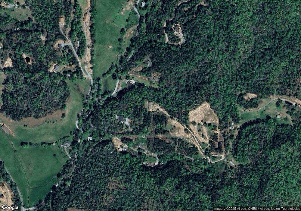
Map
Nearby Homes
- Lot 4 Chimneytop Heights
- Lot 4 Chimney Top Heights
- Lot 37 Deeplow Gap None
- Lot 40 the Knoll None
- Lot 42 the Knoll None
- 44 Thomas Divide Trail
- 336 Berry Ln
- 0 Ela Rd
- Lot 45 Thomas Divide Trail
- Lot 44 Thomas Divide Trail
- 331 Ela Heights Rd
- 5204 Ela Rd
- 190 Ela Heights Rd
- 6125 Ela Rd
- 5454 Ela Rd
- 51 Kenneth Cooper Rd
- 111 Kenneth Cooper Rd
- 4 & 6 Skyview Rd
- 383 Blue Mist Mountain Rd
- 415 Skyview Rd
- 314 Mccracken Rd
- 98 Sandstone Dr
- 16 Sandstone Dr
- 55 Cline Branch Rd
- 59 Sandstone Dr
- 90 Cline Branch Rd
- 0 Cline Branch Rd
- Lot 1 McCracken None
- 275 Mccracken Rd
- 27 Cline Branch Rd
- 200 Mccracken Rd
- 0 Mccracken Rd
- 0 Mccracken Rd
- Lot 3 Mccracken Rd
- Lot 9 Mccracken Rd
- Lot 1 Mccracken Rd
- 86 Martins Run Unit 2
- 86 Martins Run
- 285 Cline Branch Rd
- 301 Cline Branch Rd