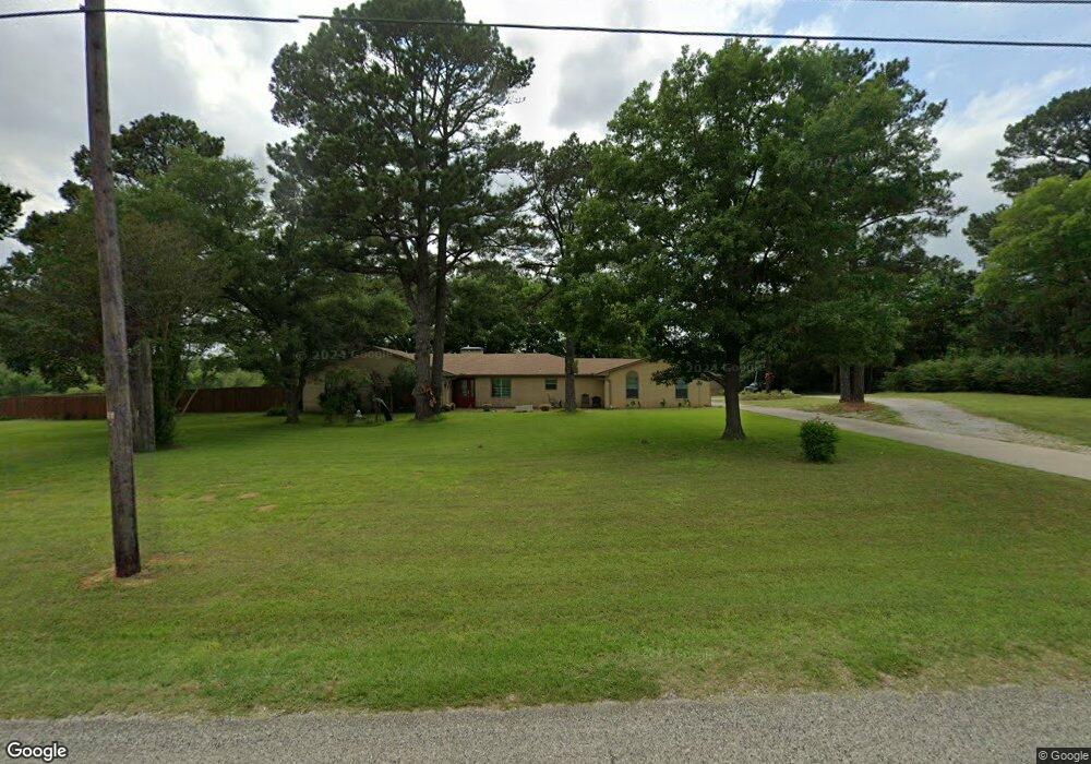
287 Desvoignes Rd Denison, TX 75021
Estimated Value: $463,197 - $618,000
3
Beds
3
Baths
2,323
Sq Ft
$233/Sq Ft
Est. Value
About This Home
This home is located at 287 Desvoignes Rd, Denison, TX 75021 and is currently estimated at $540,599, approximately $232 per square foot. 287 Desvoignes Rd is a home located in Grayson County with nearby schools including Lamar Elementary School, Scott Middle School, and Denison High School.
Ownership History
Date
Name
Owned For
Owner Type
Purchase Details
Closed on
Nov 16, 2007
Sold by
Cherry Brenda
Bought by
Bechtel Darya and Bechtel Richard S
Current Estimated Value
Home Financials for this Owner
Home Financials are based on the most recent Mortgage that was taken out on this home.
Original Mortgage
$142,000
Outstanding Balance
$89,845
Interest Rate
6.38%
Mortgage Type
Purchase Money Mortgage
Estimated Equity
$450,754
Create a Home Valuation Report for This Property
The Home Valuation Report is an in-depth analysis detailing your home's value as well as a comparison with similar homes in the area
Home Values in the Area
Average Home Value in this Area
Purchase History
| Date | Buyer | Sale Price | Title Company |
|---|---|---|---|
| Bechtel Darya | -- | Grayson County Title |
Source: Public Records
Mortgage History
| Date | Status | Borrower | Loan Amount |
|---|---|---|---|
| Open | Bechtel Darya | $142,000 |
Source: Public Records
Tax History
| Year | Tax Paid | Tax Assessment Tax Assessment Total Assessment is a certain percentage of the fair market value that is determined by local assessors to be the total taxable value of land and additions on the property. | Land | Improvement |
|---|---|---|---|---|
| 2025 | $1,269 | $401,175 | -- | -- |
| 2024 | $5,952 | $368,532 | $0 | $0 |
| 2023 | $1,260 | $337,545 | $0 | $0 |
| 2022 | $5,321 | $307,949 | $0 | $0 |
| 2021 | $5,200 | $321,617 | $75,156 | $246,461 |
| 2020 | $5,076 | $314,975 | $70,156 | $244,819 |
| 2019 | $4,976 | $305,505 | $55,130 | $250,375 |
| 2018 | $4,553 | $274,933 | $50,104 | $224,829 |
| 2017 | $4,220 | $277,583 | $50,104 | $227,479 |
| 2016 | $3,795 | $229,065 | $40,082 | $188,983 |
Source: Public Records
Map
Nearby Homes
- 732 E Bullock St
- 721 E Bullock St
- 1800 S Center St
- 1382 US Highway 69
- 705 E Hanna St
- 125 Mark Dr
- 124 Mark Dr
- 228 E Prospect St
- 429 E Hanna St
- 625 E Acheson St
- 1506 S Travis St
- 232 E Prospect St
- 153 Circle Dr
- 104 E Prospect St
- 1917 Avenue A
- 625 E Murray St
- 622 E Heron St
- TBD N Highway 69
- 516 E Heron St
- 512 E Heron St
- 249 Desvoignes Rd
- 217 Desvoignes Rd
- 161 Desvoignes Rd
- 176 Desvoignes Rd
- 1191 E Us Highway 69
- 156 Desvoignes Rd
- 143 Desvoignes Rd
- 127 Desvoignes Rd
- 108 Desvoignes Rd
- 107 Desvoignes Rd
- 947 Us Highway 69
- 1929 Desvoignes Rd
- 1103 E Us Highway 69
- 65 Desvoignes Rd
- 827 E Us Highway 69
- 614 E Us Highway 69
- 1080 Us Highway 69
- 1058 E Us Highway 69
- 565 Snow Rd
- 907 Us Highway 69
Your Personal Tour Guide
Ask me questions while you tour the home.