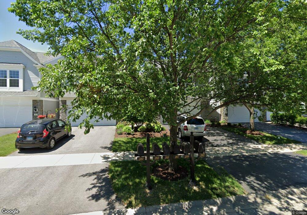
287 Devoe Dr Unit 4314 Oswego, IL 60543
North Oswego NeighborhoodEstimated Value: $309,000 - $327,000
3
Beds
3
Baths
1,520
Sq Ft
$210/Sq Ft
Est. Value
About This Home
This home is located at 287 Devoe Dr Unit 4314, Oswego, IL 60543 and is currently estimated at $318,682, approximately $209 per square foot. 287 Devoe Dr Unit 4314 is a home located in Kendall County with nearby schools including Southbury Elementary School, Murphy Junior High School, and Oswego East High School.
Ownership History
Date
Name
Owned For
Owner Type
Purchase Details
Closed on
Jul 31, 2018
Sold by
Welch Mark
Bought by
Romero Xochiti
Current Estimated Value
Home Financials for this Owner
Home Financials are based on the most recent Mortgage that was taken out on this home.
Original Mortgage
$170,848
Outstanding Balance
$151,814
Interest Rate
5.62%
Mortgage Type
FHA
Estimated Equity
$166,868
Purchase Details
Closed on
Feb 15, 2010
Sold by
Pulte Home Corporation
Bought by
Welch Mark
Home Financials for this Owner
Home Financials are based on the most recent Mortgage that was taken out on this home.
Original Mortgage
$136,427
Interest Rate
5%
Mortgage Type
New Conventional
Create a Home Valuation Report for This Property
The Home Valuation Report is an in-depth analysis detailing your home's value as well as a comparison with similar homes in the area
Home Values in the Area
Average Home Value in this Area
Purchase History
| Date | Buyer | Sale Price | Title Company |
|---|---|---|---|
| Romero Xochiti | $174,000 | First American Title | |
| Welch Mark | $171,000 | None Available |
Source: Public Records
Mortgage History
| Date | Status | Borrower | Loan Amount |
|---|---|---|---|
| Open | Romero Xochiti | $170,848 | |
| Previous Owner | Welch Mark | $136,427 |
Source: Public Records
Tax History
| Year | Tax Paid | Tax Assessment Tax Assessment Total Assessment is a certain percentage of the fair market value that is determined by local assessors to be the total taxable value of land and additions on the property. | Land | Improvement |
|---|---|---|---|---|
| 2024 | $6,270 | $83,910 | $16,496 | $67,414 |
| 2023 | $5,610 | $74,256 | $14,598 | $59,658 |
| 2022 | $5,610 | $68,125 | $13,393 | $54,732 |
| 2021 | $5,688 | $66,789 | $13,130 | $53,659 |
| 2020 | $5,682 | $66,128 | $13,000 | $53,128 |
| 2019 | $5,772 | $66,128 | $13,000 | $53,128 |
| 2018 | $6,012 | $61,842 | $9,456 | $52,386 |
| 2017 | $5,843 | $56,997 | $8,715 | $48,282 |
| 2016 | $5,489 | $52,775 | $8,069 | $44,706 |
| 2015 | $5,234 | $47,977 | $7,335 | $40,642 |
| 2014 | -- | $46,132 | $7,053 | $39,079 |
| 2013 | -- | $48,560 | $7,424 | $41,136 |
Source: Public Records
Map
Nearby Homes
- 240 Devoe Dr
- 102 Devoe Dr Unit 465
- 464 Valentine Way
- 460 Valentine Way
- 3017 Lundquist Dr
- 605 Murdock Place
- 241 Cooney Way
- 353 Danforth Dr
- 714 Erwin St
- 234 Cooney Way
- 393 Danforth Dr
- 601 Murdock Place
- 391 Danforth Dr
- 602 Murdock Place
- 700 Erwin St
- 339 Danforth Dr
- 2322 Pagosa Springs Dr
- 1893 Indian Hill Ln Unit 4053
- 115 Henderson St
- 1851 Indian Hill Ln Unit 4083
- 291 Devoe Dr Unit 4316
- 289 Devoe Dr Unit 4315
- 285 Devoe Dr Unit 4313
- 283 Devoe Dr Unit 4312
- 281 Devoe Dr Unit 4311
- 640 Hawley Dr
- 642 Hawley Dr Unit 4373
- 644 Hawley Dr Unit 4372
- 646 Hawley Dr Unit 4371
- 652 Hawley Dr Unit 438
- 265 Devoe Dr Unit 265
- 265 Devoe Dr Unit 543
- 265 Devoe Dr
- 265 Devoe Dr Unit 323
- 650 Hawley Dr Unit 4384
- 654 Hawley Dr Unit 4382
- 656 Hawley Dr Unit 4381
- 650 Hawley Dr Unit 650
- 263 Devoe Dr
- 261 Devoe Dr Unit 4321
Your Personal Tour Guide
Ask me questions while you tour the home.