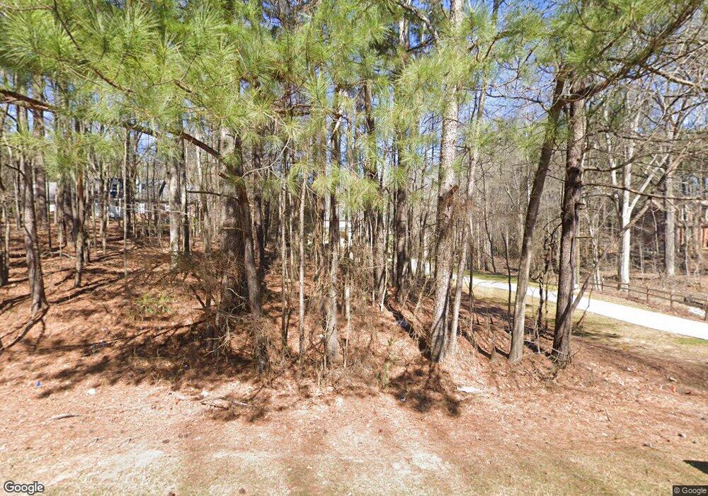
287 Graves Rd Fayetteville, GA 30214
Estimated Value: $566,000 - $639,000
--
Bed
1
Bath
3,662
Sq Ft
$164/Sq Ft
Est. Value
About This Home
This home is located at 287 Graves Rd, Fayetteville, GA 30214 and is currently estimated at $598,861, approximately $163 per square foot. 287 Graves Rd is a home located in Fayette County with nearby schools including Cleveland Elementary School, Flat Rock Middle School, and Sandy Creek High School.
Ownership History
Date
Name
Owned For
Owner Type
Purchase Details
Closed on
Feb 1, 2019
Sold by
Oden Ernest
Bought by
Fayette County
Current Estimated Value
Purchase Details
Closed on
Aug 4, 1998
Sold by
Sheffer Daniel B and Sheffer Callie A
Bought by
Oden Ernest
Home Financials for this Owner
Home Financials are based on the most recent Mortgage that was taken out on this home.
Original Mortgage
$26,050
Interest Rate
6.91%
Mortgage Type
New Conventional
Create a Home Valuation Report for This Property
The Home Valuation Report is an in-depth analysis detailing your home's value as well as a comparison with similar homes in the area
Home Values in the Area
Average Home Value in this Area
Purchase History
| Date | Buyer | Sale Price | Title Company |
|---|---|---|---|
| Fayette County | $7,875 | -- | |
| Oden Ernest | $33,000 | -- |
Source: Public Records
Mortgage History
| Date | Status | Borrower | Loan Amount |
|---|---|---|---|
| Previous Owner | Oden Ernest | $26,050 |
Source: Public Records
Tax History Compared to Growth
Tax History
| Year | Tax Paid | Tax Assessment Tax Assessment Total Assessment is a certain percentage of the fair market value that is determined by local assessors to be the total taxable value of land and additions on the property. | Land | Improvement |
|---|---|---|---|---|
| 2024 | $1,922 | $259,828 | $33,200 | $226,628 |
| 2023 | $1,713 | $233,560 | $33,200 | $200,360 |
| 2022 | $1,705 | $223,160 | $33,200 | $189,960 |
| 2021 | $1,329 | $176,000 | $18,000 | $158,000 |
| 2020 | $1,243 | $160,120 | $18,000 | $142,120 |
| 2019 | $1,411 | $178,640 | $18,000 | $160,640 |
| 2018 | $1,314 | $166,720 | $18,000 | $148,720 |
| 2017 | $1,248 | $156,320 | $18,000 | $138,320 |
| 2016 | $1,304 | $155,680 | $18,000 | $137,680 |
| 2015 | $1,220 | $141,920 | $18,000 | $123,920 |
| 2014 | $1,150 | $128,120 | $18,000 | $110,120 |
| 2013 | -- | $75,640 | $0 | $0 |
Source: Public Records
Map
Nearby Homes
- 220 Eastmark Way
- 671 Ginger Cake Rd
- 636 Ginger Cake Rd
- 100 Raymond Ct
- 125 Sir Lancelot Ct
- 120 Gentle Doe Dr
- 550 Ginger Cake Rd
- 0 Highway 92 N Unit 10594507
- 0 Highway 92 N Unit 7570733
- 195 Blackberry Run
- 145 Woodsong Dr
- 100 Bre Dr
- 130 W Pier Way
- 729 Highway 92 N
- 100 Carlyle Ln
- 145 Butterfield Ln
- 234 Stanley Rd
- 615 New Hope Rd
- 615 New Hope Rd Unit NO SUBDIVISION
- 170 Rolison Way
- 297 Graves Rd
- 279 Graves Rd
- 140 Graves Rd
- 303 Graves Rd
- 271 Graves Rd
- 313 Graves Rd
- 302 Graves Rd
- 288 Graves Rd
- 120 Lady Helen Ct
- 110 Lady Helen Ct
- 110 Lady Helen Ct
- 110 Lady Helen Ct Unit 1
- 130 Lady Helen Ct
- 470 Camelot Dr
- 266 Graves Rd
- 319 Graves Rd
- 310 Graves Rd
- 100 Lady Helen Ct
- 140 Lady Helen Ct
- 460 Camelot Dr
