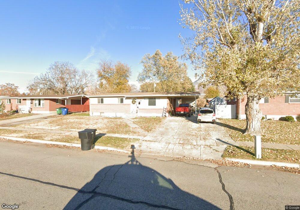
287 Larkin Ln Kaysville, UT 84037
Estimated Value: $477,148 - $525,000
4
Beds
2
Baths
1,429
Sq Ft
$347/Sq Ft
Est. Value
About This Home
This home is located at 287 Larkin Ln, Kaysville, UT 84037 and is currently estimated at $495,537, approximately $346 per square foot. 287 Larkin Ln is a home located in Davis County with nearby schools including Columbia Elementary School, Kaysville Junior High School, and Davis High School.
Ownership History
Date
Name
Owned For
Owner Type
Purchase Details
Closed on
Sep 13, 2024
Sold by
Toomer Lawson
Bought by
Toomer Lawson and Toomer Sydney
Current Estimated Value
Home Financials for this Owner
Home Financials are based on the most recent Mortgage that was taken out on this home.
Original Mortgage
$270,000
Outstanding Balance
$266,703
Interest Rate
6.47%
Mortgage Type
New Conventional
Estimated Equity
$228,834
Purchase Details
Closed on
Dec 6, 2022
Sold by
Toomer Lawson
Bought by
Toomer Lawson and Loonier Sydney
Purchase Details
Closed on
Jul 28, 2009
Sold by
Toomer Glen
Bought by
Toomer Grant M and Toomer Philip C
Purchase Details
Closed on
Nov 23, 2007
Sold by
Toomer Beverly M
Bought by
Toomer Grant M
Purchase Details
Closed on
Nov 30, 2000
Sold by
Toomer Philip E and Toomer Beverly M
Bought by
Toomer Philip E and Toomer Beverly M
Create a Home Valuation Report for This Property
The Home Valuation Report is an in-depth analysis detailing your home's value as well as a comparison with similar homes in the area
Home Values in the Area
Average Home Value in this Area
Purchase History
| Date | Buyer | Sale Price | Title Company |
|---|---|---|---|
| Toomer Lawson | -- | Prospect Title Insurance | |
| Toomer Lawson | -- | Prospect Title Insurance | |
| Toomer Lawson | -- | Prospect Title Insurance | |
| Toomer Grant M | -- | None Available | |
| The Toomer Family Trust | -- | None Available | |
| Toomer Grant M | -- | None Available | |
| Toomer Philip E | -- | -- |
Source: Public Records
Mortgage History
| Date | Status | Borrower | Loan Amount |
|---|---|---|---|
| Open | Toomer Lawson | $270,000 |
Source: Public Records
Tax History Compared to Growth
Tax History
| Year | Tax Paid | Tax Assessment Tax Assessment Total Assessment is a certain percentage of the fair market value that is determined by local assessors to be the total taxable value of land and additions on the property. | Land | Improvement |
|---|---|---|---|---|
| 2025 | $26 | $261,800 | $148,407 | $113,393 |
| 2024 | $26 | $254,650 | $147,866 | $106,784 |
| 2023 | $2,388 | $446,000 | $259,746 | $186,254 |
| 2022 | $2,420 | $253,550 | $120,243 | $133,307 |
| 2021 | $2,064 | $324,000 | $170,020 | $153,980 |
| 2020 | $1,844 | $282,000 | $123,003 | $158,997 |
| 2019 | $1,858 | $279,000 | $105,873 | $173,127 |
| 2018 | $1,683 | $252,000 | $96,249 | $155,751 |
| 2016 | $1,413 | $111,210 | $31,263 | $79,947 |
| 2015 | $1,413 | $105,600 | $31,263 | $74,337 |
| 2014 | $1,456 | $110,765 | $31,263 | $79,502 |
| 2013 | -- | $90,824 | $20,683 | $70,141 |
Source: Public Records
Map
Nearby Homes
- 300 S Larkin Ln
- 384 Christine Way
- 203 S Larkin Ln
- 203 W 350 S
- 71 W 450 S
- 75 S Grandison Ct E Unit 69-R
- 86 S Grandison Ct E Unit 79-R
- 127 S Rock Loft Ridge Dr Unit 57-R
- 159 S Rock Loft Ridge Dr Unit 59-R
- 1346 W Blackbird Ln Unit 3
- 209 N Rock Loft Ridge E Unit 32-R
- 198 S Rock Loft Ridge Dr E Unit 6-R
- 246 N Rock Loft Ridge Dr Unit 36-R
- 167 S Grandison E Unit 74-R
- 109 S Rock Loft Ridge Dr Unit 56-R
- 93 S Rock Loft Ridge Dr Unit 55-R
- 34 S Rock Loft Ridge Dr Unit 85-R
- 52 S Grandison Ct E Unit 83-R
- 190 N Rock Loft Ridge Dr Unit 40-R
- 96 S Rock Loft Ridge Dr Unit 12-R