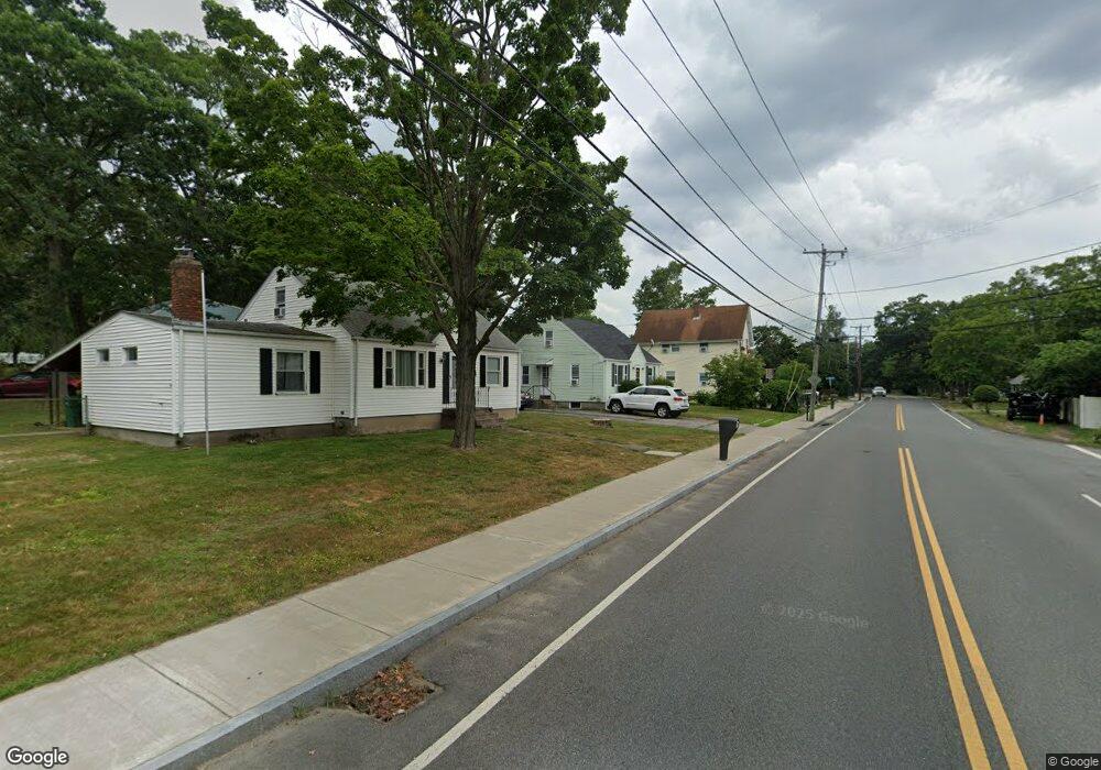
287 Mendon Rd Attleboro, MA 02703
Estimated Value: $390,000 - $444,000
4
Beds
1
Bath
1,249
Sq Ft
$337/Sq Ft
Est. Value
About This Home
This home is located at 287 Mendon Rd, Attleboro, MA 02703 and is currently estimated at $420,360, approximately $336 per square foot. 287 Mendon Rd is a home located in Bristol County with nearby schools including Hill-Roberts Elementary School, Robert J. Coelho Middle School, and Attleboro High School.
Ownership History
Date
Name
Owned For
Owner Type
Purchase Details
Closed on
Aug 10, 2009
Sold by
Petcavage Henry and Petcavage Robert
Bought by
Durant Mark
Current Estimated Value
Home Financials for this Owner
Home Financials are based on the most recent Mortgage that was taken out on this home.
Original Mortgage
$164,957
Outstanding Balance
$108,970
Interest Rate
5.47%
Mortgage Type
Purchase Money Mortgage
Estimated Equity
$311,390
Purchase Details
Closed on
Jul 16, 2007
Sold by
Petcavage Jennie F
Bought by
Hunt Elaine P and Petcavage Henry
Create a Home Valuation Report for This Property
The Home Valuation Report is an in-depth analysis detailing your home's value as well as a comparison with similar homes in the area
Home Values in the Area
Average Home Value in this Area
Purchase History
| Date | Buyer | Sale Price | Title Company |
|---|---|---|---|
| Durant Mark | $168,000 | -- | |
| Hunt Elaine P | -- | -- |
Source: Public Records
Mortgage History
| Date | Status | Borrower | Loan Amount |
|---|---|---|---|
| Open | Durant Mark | $164,957 |
Source: Public Records
Tax History Compared to Growth
Tax History
| Year | Tax Paid | Tax Assessment Tax Assessment Total Assessment is a certain percentage of the fair market value that is determined by local assessors to be the total taxable value of land and additions on the property. | Land | Improvement |
|---|---|---|---|---|
| 2025 | $3,731 | $297,300 | $124,900 | $172,400 |
| 2024 | $3,637 | $285,700 | $124,900 | $160,800 |
| 2023 | $3,420 | $249,800 | $113,400 | $136,400 |
| 2022 | $3,260 | $225,600 | $108,100 | $117,500 |
| 2021 | $3,188 | $215,400 | $104,000 | $111,400 |
| 2020 | $3,046 | $209,200 | $100,900 | $108,300 |
| 2019 | $2,876 | $203,100 | $98,900 | $104,200 |
| 2018 | $2,758 | $186,100 | $96,100 | $90,000 |
| 2017 | $2,679 | $184,100 | $96,100 | $88,000 |
| 2016 | $2,503 | $168,900 | $94,300 | $74,600 |
| 2015 | $2,390 | $162,500 | $94,300 | $68,200 |
| 2014 | $2,326 | $156,600 | $89,800 | $66,800 |
Source: Public Records
Map
Nearby Homes
- 171 Mendon Rd
- 91 Greenwich St
- 18 Newton St
- 54 Baltic St Unit 54
- 52 Baltic St Unit 52
- 58 Baltic St Unit 58
- 56 Baltic St Unit 56
- 416 Brown St
- 51 Lawn St
- 6 Castle Rd
- 511 Mendon Rd Unit 511
- 509 Mendon Rd Unit 509
- 61 Mendon Rd
- 50 Pullman Ave Unit A
- 50 Pullman Ave Unit B
- 513 Mendon Rd Unit 513
- 515 Mendon Rd Unit 515
- 79 Turner St
- 37 Turner St
- 31 Prospect St Unit 1
- 281 Mendon Rd
- 291 Mendon Rd
- 1 Hampson St
- 1 Hampson St Unit Basement
- 1 Hampson St Unit 2nd floor
- 286 Mendon Rd
- 27 Turcotte St
- 19 Hampson St
- 10 Hampson St
- 270 Mendon Rd
- 2 Bretton Woods Dr
- 8 Hampson St
- 8 Hampson St Unit 8A
- 294 Mendon Rd
- 263 Mendon Rd
- 22 Hampson St Unit 3
- 22 Hampson St Unit 6
- 22 Hampson St Unit 1
- 22 Hampson St Unit 2
- 22 Hampson St