287 Riverside Ln Blue Ridge, GA 30513
Estimated Value: $749,882 - $1,112,000
4
Beds
4
Baths
2,710
Sq Ft
$353/Sq Ft
Est. Value
About This Home
This home is located at 287 Riverside Ln, Blue Ridge, GA 30513 and is currently estimated at $956,627, approximately $352 per square foot. 287 Riverside Ln is a home located in Fannin County with nearby schools including Fannin County High School.
Ownership History
Date
Name
Owned For
Owner Type
Purchase Details
Closed on
Jul 10, 2025
Sold by
Clements Edward Lee
Bought by
Bright Side Of The Road Llc
Current Estimated Value
Purchase Details
Closed on
Oct 19, 2023
Sold by
Clements Patricia L Hardeman
Bought by
Clements Patricia L Hardeman
Purchase Details
Closed on
Apr 1, 2016
Sold by
Clements Michael Edward
Bought by
Clements Edward L
Purchase Details
Closed on
Apr 1, 2011
Sold by
Clements Judythe K
Bought by
Clements Judythe K
Purchase Details
Closed on
Jun 30, 2000
Sold by
Clements Edward L
Bought by
Clements Edward L
Purchase Details
Closed on
Sep 23, 1998
Sold by
Clements Patricia
Bought by
Clements Edward L
Purchase Details
Closed on
Sep 22, 1989
Bought by
Clements Patricia
Create a Home Valuation Report for This Property
The Home Valuation Report is an in-depth analysis detailing your home's value as well as a comparison with similar homes in the area
Home Values in the Area
Average Home Value in this Area
Purchase History
| Date | Buyer | Sale Price | Title Company |
|---|---|---|---|
| Bright Side Of The Road Llc | $875,000 | -- | |
| Clements Patricia L Hardeman | -- | -- | |
| Clements Edward L | -- | -- | |
| Clements Judythe K | -- | -- | |
| Clements Edward L | -- | -- | |
| Clements Edward L | -- | -- | |
| Clements Patricia | $70,000 | -- |
Source: Public Records
Tax History Compared to Growth
Tax History
| Year | Tax Paid | Tax Assessment Tax Assessment Total Assessment is a certain percentage of the fair market value that is determined by local assessors to be the total taxable value of land and additions on the property. | Land | Improvement |
|---|---|---|---|---|
| 2024 | $1,258 | $137,248 | $24,876 | $112,372 |
| 2023 | $154 | $110,762 | $21,815 | $88,947 |
| 2022 | $154 | $114,301 | $21,815 | $92,486 |
| 2021 | $217 | $76,136 | $20,820 | $55,316 |
| 2020 | $219 | $76,136 | $20,820 | $55,316 |
| 2019 | $204 | $76,136 | $20,820 | $55,316 |
| 2018 | $225 | $61,618 | $22,159 | $39,459 |
| 2017 | $1,088 | $61,465 | $22,006 | $39,459 |
| 2016 | $208 | $50,387 | $16,464 | $33,923 |
| 2015 | $216 | $50,387 | $16,464 | $33,923 |
| 2014 | $211 | $59,376 | $31,697 | $27,680 |
| 2013 | -- | $54,762 | $31,696 | $23,065 |
Source: Public Records
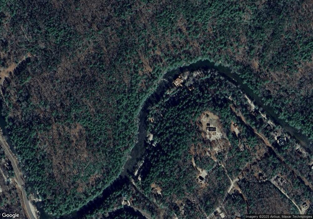
Map
Nearby Homes
- 40 Adelaide Trail
- 7022 Aska Rd
- 55 River Bend Ln
- 283 River Bend Ln
- 210 White Pine Acres Dr
- 916 Riverside Ln
- Lot 1 S Aska Rd
- 80 Harrison & Ada Rd
- 80 Harrison and Ada Rd
- 671 Stover Knob Trail
- 250 Harrison and Ada Rd
- LOT 68 Riverwalk On the Toccoa
- 556 Flat Creek Cir
- 100 Stanley Creek Rd
- 500 Harrison & Ada Rd
- 3.2 Ac Stanley Creek Rd
- 504 Bell Camp Ridge Rd
- 145 Rocky Top Rd
- 271 Riverside Ln
- 328 Riverside Ln
- 192 Riverside Ln
- 234 Riverside Ln
- 353 Riverside Ln
- 155 Adelaide Dr
- 100 Adelaide Trail
- 420 Riverside Ln
- 153 Adelaide Dr
- 40 Adelaide Dr
- 373 Adelaide Dr
- 106 Riverside Ln
- 0 Adelaide Trail
- 188 Riverside Ln
- 520 Riverside Ln
- 36 Adelaide Dr
- 540 Riverside Ln
- 15 Adelaide Dr
- 148 Partin Road Adelaide Dr
- 36 Adelaide Trail