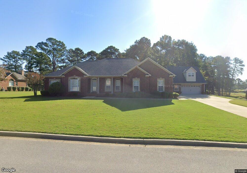
287 St Andrews Way Anniston, AL 36207
Estimated Value: $402,000 - $522,000
--
Bed
3
Baths
2,416
Sq Ft
$196/Sq Ft
Est. Value
About This Home
This home is located at 287 St Andrews Way, Anniston, AL 36207 and is currently estimated at $472,789, approximately $195 per square foot. 287 St Andrews Way is a home located in Calhoun County with nearby schools including White Plains Elementary School, White Plains Middle School, and White Plains High School.
Ownership History
Date
Name
Owned For
Owner Type
Purchase Details
Closed on
Aug 1, 2019
Sold by
Comfort Ellen L
Bought by
Clausen John C
Current Estimated Value
Home Financials for this Owner
Home Financials are based on the most recent Mortgage that was taken out on this home.
Original Mortgage
$63,000
Outstanding Balance
$55,176
Interest Rate
3.7%
Mortgage Type
New Conventional
Estimated Equity
$417,613
Create a Home Valuation Report for This Property
The Home Valuation Report is an in-depth analysis detailing your home's value as well as a comparison with similar homes in the area
Home Values in the Area
Average Home Value in this Area
Purchase History
| Date | Buyer | Sale Price | Title Company |
|---|---|---|---|
| Clausen John C | $350,000 | None Available |
Source: Public Records
Mortgage History
| Date | Status | Borrower | Loan Amount |
|---|---|---|---|
| Open | Clausen John C | $63,000 |
Source: Public Records
Tax History Compared to Growth
Tax History
| Year | Tax Paid | Tax Assessment Tax Assessment Total Assessment is a certain percentage of the fair market value that is determined by local assessors to be the total taxable value of land and additions on the property. | Land | Improvement |
|---|---|---|---|---|
| 2024 | $1,385 | $42,064 | $3,700 | $38,364 |
| 2023 | $1,385 | $39,790 | $3,700 | $36,090 |
| 2022 | $1,255 | $38,194 | $3,700 | $34,494 |
| 2021 | $1,152 | $35,138 | $3,700 | $31,438 |
| 2020 | $1,084 | $33,080 | $3,700 | $29,380 |
| 2019 | $1,307 | $33,346 | $3,700 | $29,646 |
| 2018 | $1,283 | $33,340 | $0 | $0 |
| 2017 | $1,197 | $29,920 | $0 | $0 |
| 2016 | $1,146 | $29,920 | $0 | $0 |
| 2013 | -- | $30,760 | $0 | $0 |
Source: Public Records
Map
Nearby Homes
- 65 Casey Ct
- 115 Carnoustie Place
- 39 Carnoustie Place
- 43 Faulkner Dr
- 390 Jamestown Way Unit 9
- 833 Lillian Ln
- 1001 Kingsway Dr
- 65 Camelot Ln
- 64 Avalon Ln
- 70 Camelot Ln
- 4803 Laurel Trace
- 4809 Laurel Trace Unit 7
- 6922 Choccolloco Rd
- 136 Dewey Ln Unit 4
- 121 Eastwood Dr
- 1250 Old Downing Mill Rd
- 2318 Al Highway 9
- 247 Liberty Ln
- 115 Sandy Ln
- 166 Freedom Way
- 287 Saint Andrews Way
- 0 Saint Andrews Way Unit TRACT A 435323
- 0 Saint Andrews Way Unit TRACT A
- 267 St Andrews Way
- 2 Prestwick Place
- 2 Turnberry Way
- 327 St Andrews Way
- 1 Prestwick Place
- 1 Turnberry Way
- 4 Prestwick Place
- 4 Turnberry Way
- 3 Turnberry Way
- 0 Turnberry Way Unit TRACT B 435330
- 0 Turnberry Way Unit TRACT C
- 0 Turnberry Way Unit TRACT B 845515
- 0 Prestwick Place Unit LOT 11
- 6 Prestwick Place
- 6 Turnberry Way
- 5 Turnberry Way
- 8 Turnberry Way