287 Wiley Ln Makanda, IL 62958
Estimated Value: $327,000 - $452,000
1
Bed
2
Baths
2,276
Sq Ft
$165/Sq Ft
Est. Value
About This Home
This home is located at 287 Wiley Ln, Makanda, IL 62958 and is currently estimated at $375,667, approximately $165 per square foot. 287 Wiley Ln is a home with nearby schools including Unity Point Elementary School and Carbondale Community High School.
Ownership History
Date
Name
Owned For
Owner Type
Purchase Details
Closed on
Apr 10, 2012
Sold by
Magnuson Bruce and Jensen Patsy
Bought by
Bundren Bobby D and Bundren Brooke E
Current Estimated Value
Home Financials for this Owner
Home Financials are based on the most recent Mortgage that was taken out on this home.
Original Mortgage
$258,050
Interest Rate
3.92%
Mortgage Type
Construction
Create a Home Valuation Report for This Property
The Home Valuation Report is an in-depth analysis detailing your home's value as well as a comparison with similar homes in the area
Home Values in the Area
Average Home Value in this Area
Purchase History
| Date | Buyer | Sale Price | Title Company |
|---|---|---|---|
| Bundren Bobby D | $25,500 | None Available |
Source: Public Records
Mortgage History
| Date | Status | Borrower | Loan Amount |
|---|---|---|---|
| Closed | Bundren Bobby D | $258,050 |
Source: Public Records
Tax History Compared to Growth
Tax History
| Year | Tax Paid | Tax Assessment Tax Assessment Total Assessment is a certain percentage of the fair market value that is determined by local assessors to be the total taxable value of land and additions on the property. | Land | Improvement |
|---|---|---|---|---|
| 2024 | $9,326 | $111,053 | $10,336 | $100,717 |
| 2023 | $8,585 | $99,183 | $9,231 | $89,952 |
| 2022 | $8,647 | $94,713 | $8,815 | $85,898 |
| 2021 | $8,114 | $91,325 | $8,500 | $82,825 |
| 2020 | $8,036 | $92,941 | $8,650 | $84,291 |
| 2019 | $7,621 | $91,325 | $8,500 | $82,825 |
| 2018 | $7,225 | $91,325 | $8,500 | $82,825 |
| 2017 | $7,237 | $91,325 | $8,500 | $82,825 |
| 2016 | $6,178 | $79,451 | $8,500 | $70,951 |
| 2015 | -- | $79,451 | $8,500 | $70,951 |
| 2014 | -- | $79,451 | $8,500 | $70,951 |
| 2012 | -- | $1,283 | $1,283 | $0 |
Source: Public Records
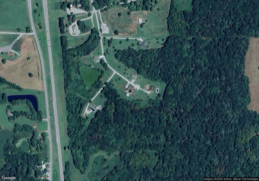
Map
Nearby Homes
- 85 Maggie Ln
- 000 U S 51
- 00 Old Us Highway 51
- Lot 49 Stone Creek Dr
- Lot 52 Stone Creek Dr
- Lot 87 Stone Creek Dr
- Lot 22 Stone Creek Dr
- Lot 97 Stone Creek Dr
- Lot 25 Stone Creek Dr
- 181 Stonelake Dr
- Lot 99 Bunker Rd
- 4 Lakeside Dr
- 5 Cool Springs Rd
- 1143 N County Line Rd
- 350 Oak Grove Rd
- 000 Bogey Ln
- 7 Cool Springs Rd
- 6 Cool Springs Rd
- 310 Cross Creek Ln
- 0003 TBD Cross Creek Ln