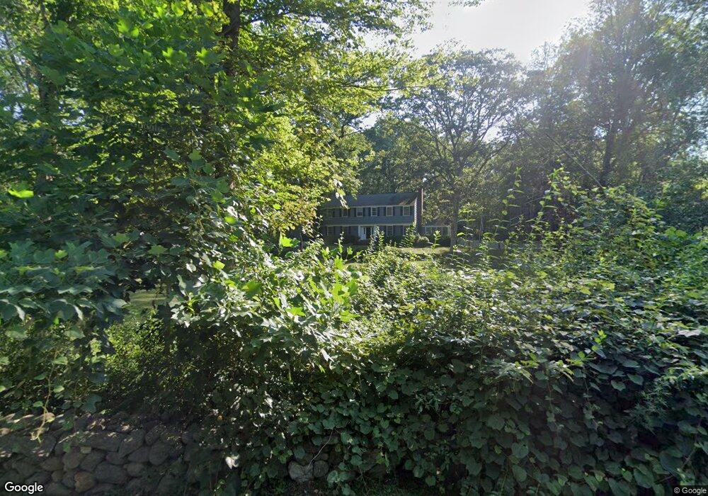
2870 Burr St Fairfield, CT 06824
Greenfield Hill NeighborhoodEstimated Value: $1,387,427 - $1,832,000
5
Beds
3
Baths
3,190
Sq Ft
$500/Sq Ft
Est. Value
About This Home
This home is located at 2870 Burr St, Fairfield, CT 06824 and is currently estimated at $1,593,607, approximately $499 per square foot. 2870 Burr St is a home located in Fairfield County with nearby schools including Burr Elementary School, Tomlinson Middle School, and Fairfield Warde High School.
Ownership History
Date
Name
Owned For
Owner Type
Purchase Details
Closed on
Jun 18, 1997
Sold by
Pearce Gerald P and Pearce Arthur W
Bought by
Clancy Terrence P and Clancy Carol M
Current Estimated Value
Home Financials for this Owner
Home Financials are based on the most recent Mortgage that was taken out on this home.
Original Mortgage
$236,500
Interest Rate
7.87%
Mortgage Type
Unknown
Create a Home Valuation Report for This Property
The Home Valuation Report is an in-depth analysis detailing your home's value as well as a comparison with similar homes in the area
Home Values in the Area
Average Home Value in this Area
Purchase History
| Date | Buyer | Sale Price | Title Company |
|---|---|---|---|
| Clancy Terrence P | $485,000 | -- | |
| Clancy Terrence P | $485,000 | -- |
Source: Public Records
Mortgage History
| Date | Status | Borrower | Loan Amount |
|---|---|---|---|
| Open | Clancy Terrence P | $200,000 | |
| Closed | Clancy Terrence P | $150,000 | |
| Open | Clancy Terrence P | $322,700 | |
| Closed | Clancy Terrence P | $236,500 |
Source: Public Records
Tax History Compared to Growth
Tax History
| Year | Tax Paid | Tax Assessment Tax Assessment Total Assessment is a certain percentage of the fair market value that is determined by local assessors to be the total taxable value of land and additions on the property. | Land | Improvement |
|---|---|---|---|---|
| 2025 | $16,089 | $566,720 | $298,200 | $268,520 |
| 2024 | $15,811 | $566,720 | $298,200 | $268,520 |
| 2023 | $15,590 | $566,720 | $298,200 | $268,520 |
| 2022 | $15,437 | $566,720 | $298,200 | $268,520 |
| 2021 | $15,290 | $566,720 | $298,200 | $268,520 |
| 2020 | $4,308 | $597,240 | $287,210 | $310,030 |
| 2019 | $16,000 | $597,240 | $287,210 | $310,030 |
| 2018 | $15,743 | $597,240 | $287,210 | $310,030 |
| 2017 | $4,268 | $597,240 | $287,210 | $310,030 |
| 2016 | $15,200 | $597,240 | $287,210 | $310,030 |
| 2015 | $15,793 | $637,070 | $319,620 | $317,450 |
| 2014 | $15,545 | $637,070 | $319,620 | $317,450 |
Source: Public Records
Map
Nearby Homes
- 342 Midlock Rd
- 312 Towne House Rd
- 4800 Congress St
- 22 Brett Rd
- 2775 North St
- 100 E Common Rd
- 180 Catamount Rd
- 158 Coventry Ln
- 2492 Congress St
- 2281 Redding Rd
- 109 Buckboard Ln
- 3853 Congress St
- 11 Judges Hollow Rd
- 2959 Congress St
- 90 Redding Rd
- 2015 Redding Rd
- 2425 Merwins Ln
- 111 & 115 Old Easton Turnpike
- 85-95 Old Easton Turnpike
- 947 Galloping Hill Rd