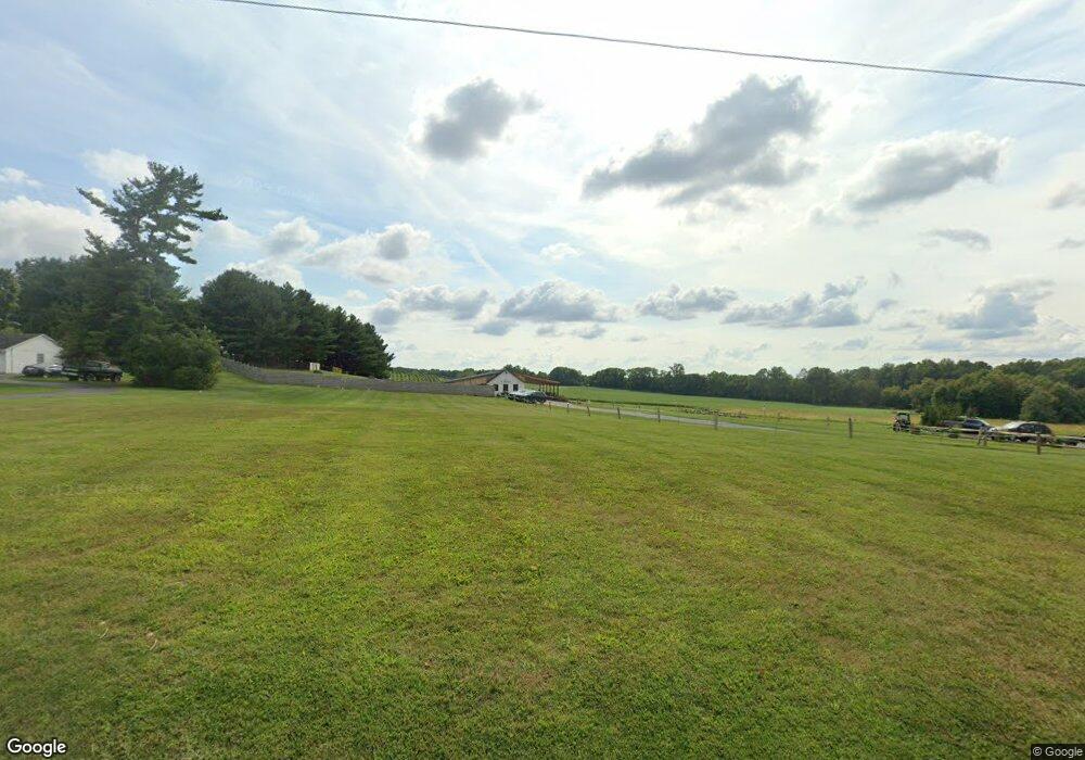
28710 Kemptown Rd Damascus, MD 20872
Estimated Value: $1,190,000 - $1,318,000
--
Bed
1
Bath
2,016
Sq Ft
$621/Sq Ft
Est. Value
About This Home
This home is located at 28710 Kemptown Rd, Damascus, MD 20872 and is currently estimated at $1,252,397, approximately $621 per square foot. 28710 Kemptown Rd is a home located in Montgomery County with nearby schools including Damascus Elementary School, John T. Baker Middle School, and Damascus High.
Ownership History
Date
Name
Owned For
Owner Type
Purchase Details
Closed on
Mar 16, 2017
Sold by
Anderson Jon W and Anderson Marylyn E
Bought by
Giganti Mark T and Giganti Pamela S
Current Estimated Value
Home Financials for this Owner
Home Financials are based on the most recent Mortgage that was taken out on this home.
Original Mortgage
$200,000
Interest Rate
4.02%
Mortgage Type
Purchase Money Mortgage
Purchase Details
Closed on
Mar 12, 2004
Sold by
Erson
Bought by
Cline Walter L
Create a Home Valuation Report for This Property
The Home Valuation Report is an in-depth analysis detailing your home's value as well as a comparison with similar homes in the area
Home Values in the Area
Average Home Value in this Area
Purchase History
| Date | Buyer | Sale Price | Title Company |
|---|---|---|---|
| Giganti Mark T | $950,000 | Residential Title & Escrow R | |
| Cline Walter L | -- | -- |
Source: Public Records
Mortgage History
| Date | Status | Borrower | Loan Amount |
|---|---|---|---|
| Previous Owner | Giganti Mark T | $200,000 |
Source: Public Records
Tax History Compared to Growth
Tax History
| Year | Tax Paid | Tax Assessment Tax Assessment Total Assessment is a certain percentage of the fair market value that is determined by local assessors to be the total taxable value of land and additions on the property. | Land | Improvement |
|---|---|---|---|---|
| 2025 | $7,288 | $606,033 | -- | -- |
| 2024 | $7,288 | $589,000 | $312,500 | $276,500 |
| 2023 | $6,818 | $550,100 | $0 | $0 |
| 2022 | $6,219 | $511,200 | $0 | $0 |
| 2021 | $0 | $372,500 | $212,700 | $159,800 |
| 2020 | $4,309 | $355,167 | $0 | $0 |
| 2019 | $4,103 | $337,833 | $0 | $0 |
| 2018 | $3,910 | $320,500 | $212,700 | $107,800 |
| 2017 | $3,264 | $318,867 | $0 | $0 |
| 2016 | -- | $317,233 | $0 | $0 |
| 2015 | $2,920 | $315,600 | $0 | $0 |
| 2014 | $2,920 | $313,033 | $0 | $0 |
Source: Public Records
Map
Nearby Homes
- 28411 Kemptown Rd
- 3553 Clarksburg Rd
- 10200 Moxley Rd Unit PARCEL 328
- 10200 Moxley Rd Unit 350 & 191
- 13253 Turf Terrace
- 28904 Ridge Rd
- 28924 Ridge Rd
- 10901 Moxley Rd
- 29007 Ridge Rd
- 12353 Fingerboard Rd
- 3914 Millstone Cir
- 13681 Samhill Dr
- 3607 Moline Ct
- 13520 Autumn Crest Dr S
- 10895 Bethesda Church Rd
- 4407 Robmar Dr
- 4041 Lomar Dr
- 10891 Bethesda Church Rd
- 4042 Lomar Dr
- 12192 Overlook Dr
- 28640 Kemptown Rd
- 28811 Kemptown Rd
- 28801 Kemptown Rd
- 28636 Kemptown Rd
- 28632 Kemptown Rd
- 10129 Johns Dr
- 10125 Johns Dr
- 28628 Kemptown Rd
- 28624 Kemptown Rd
- 28720 Kemptown Rd
- 28620 Kemptown Rd
- 28800 Kemptown Rd
- 10209 Johns Dr
- 10121 Johns Dr
- 10201 Johns Dr
- 28616 Kemptown Rd
- 10205 Johns Dr
- 10117 Johns Dr
- 28612 Kemptown Rd
- 10113 Johns Dr