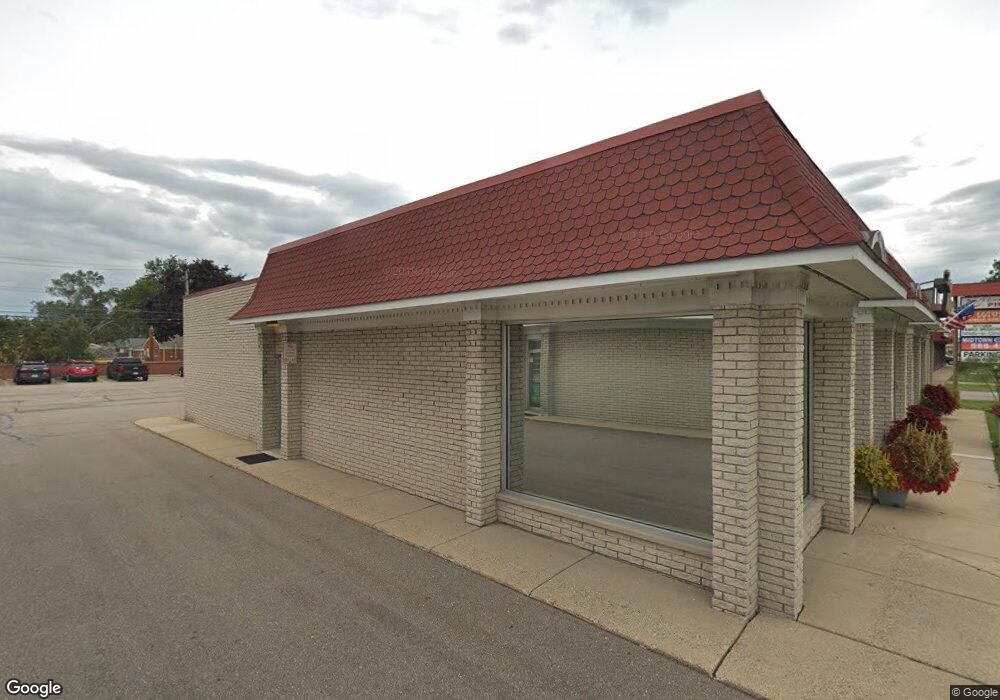
28711 Hoover Rd Warren, MI 48093
Northeast Warren NeighborhoodEstimated Value: $483,658
--
Bed
--
Bath
4,241
Sq Ft
$114/Sq Ft
Est. Value
About This Home
This home is located at 28711 Hoover Rd, Warren, MI 48093 and is currently estimated at $483,658, approximately $114 per square foot. 28711 Hoover Rd is a home located in Macomb County with nearby schools including Cromie Elementary School, Carter Middle School, and Paul K. Cousino High School.
Ownership History
Date
Name
Owned For
Owner Type
Purchase Details
Closed on
Jun 7, 2021
Sold by
Blue Chip Llc
Bought by
Rehab Property Investments Llc
Current Estimated Value
Purchase Details
Closed on
Jun 23, 2014
Sold by
Jones Dolores M and Jelalian Tracie
Bought by
R Prop Inc
Purchase Details
Closed on
Oct 23, 2013
Sold by
R Prop Inc
Bought by
Kempa Richard A and The Revocable Living Trust Of Richard A
Purchase Details
Closed on
Nov 7, 2001
Sold by
Jones James G Trust
Bought by
R Prop Inc
Purchase Details
Closed on
Jul 28, 1997
Sold by
J Jones Trust
Bought by
Bialek R
Create a Home Valuation Report for This Property
The Home Valuation Report is an in-depth analysis detailing your home's value as well as a comparison with similar homes in the area
Home Values in the Area
Average Home Value in this Area
Purchase History
| Date | Buyer | Sale Price | Title Company |
|---|---|---|---|
| Rehab Property Investments Llc | $385,000 | Title One Inc | |
| Blue Chip Llc | $280,000 | Title One Inc | |
| R Prop Inc | $270,000 | None Available | |
| Kempa Richard A | -- | None Available | |
| R Prop Inc | $211,844 | -- | |
| Bialek R | $270,000 | -- |
Source: Public Records
Tax History Compared to Growth
Tax History
| Year | Tax Paid | Tax Assessment Tax Assessment Total Assessment is a certain percentage of the fair market value that is determined by local assessors to be the total taxable value of land and additions on the property. | Land | Improvement |
|---|---|---|---|---|
| 2025 | $9,035 | $163,130 | $0 | $0 |
| 2024 | $8,769 | $151,650 | $0 | $0 |
| 2023 | $8,280 | $127,670 | $0 | $0 |
| 2022 | $8,068 | $119,070 | $0 | $0 |
| 2021 | $7,811 | $114,430 | $0 | $0 |
| 2020 | $8,065 | $113,730 | $0 | $0 |
| 2019 | $7,343 | $112,190 | $0 | $0 |
| 2018 | $161 | $110,180 | $0 | $0 |
| 2017 | $6,784 | $41,500 | $38,140 | $3,360 |
| 2016 | $6,745 | $104,200 | $0 | $0 |
| 2015 | -- | $102,630 | $0 | $0 |
| 2012 | -- | $83,799 | $76,281 | $7,518 |
Source: Public Records
Map
Nearby Homes
- 11582 Gerald Dr
- 11511 Gerald Dr
- 11555 Newbern Dr
- 11483 Newbern Dr
- 11357 Geoffry Dr
- 11916 Geoffry Dr
- 11447 Edwin Dr
- 29164 Aline Dr
- 29638 Hoover Rd Unit 638
- 29626 Hoover Rd Unit 626
- 28876 Palm Beach Dr
- 29171 Birchcrest Dr
- 11234 Irvington Dr
- 28621 Pinto Dr
- 12354 Geoffry Dr
- 29366 Wagner Dr
- 11377 Irene Ave
- 29150 Geraldine Ct
- 11116 Racine Rd
- 29242 Lorraine Ct
- 28717 Hoover Rd
- 28671 Hoover Rd
- 28673 Hoover Rd
- 28741 Hoover Rd
- 28657 Hoover Rd
- 28714 Desmond Dr
- 28726 Desmond Dr
- 28738 Desmond Dr
- 28655 Hoover Rd
- 28653 Hoover Rd
- 28750 Desmond Dr
- 28651 Hoover Rd
- 28660 Desmond Dr
- 28762 Desmond Dr
- 28648 Desmond Dr
- 28825 Hoover Rd
- 28636 Desmond Dr
- 28774 Desmond Dr
- 28829 Hoover Rd
- 28715 Desmond Dr