28711 Morganton Hwy Suches, GA 30572
Estimated Value: $335,000 - $2,533,543
--
Bed
1
Bath
1,005
Sq Ft
$1,427/Sq Ft
Est. Value
About This Home
This home is located at 28711 Morganton Hwy, Suches, GA 30572 and is currently estimated at $1,434,272, approximately $1,427 per square foot. 28711 Morganton Hwy is a home located in Fannin County with nearby schools including Fannin County High School.
Ownership History
Date
Name
Owned For
Owner Type
Purchase Details
Closed on
Dec 27, 2024
Sold by
Garrett Patricia Alice Hosch
Bought by
Hosch Charles Roop and Roop Hosch Charles
Current Estimated Value
Purchase Details
Closed on
Mar 5, 2024
Sold by
Hosch Patricia G
Bought by
Hosch Robbie Garrett Tr and Patricia Alice Garrett
Purchase Details
Closed on
Dec 7, 1998
Sold by
Luckhardt Grant
Bought by
Hosch Charles R
Purchase Details
Closed on
Oct 14, 1997
Sold by
Cherin Allen and Cherin Carol
Bought by
Luckhardt Grant
Purchase Details
Closed on
Jun 8, 1981
Bought by
Luckhardt Grant and Luckhardt Tal
Create a Home Valuation Report for This Property
The Home Valuation Report is an in-depth analysis detailing your home's value as well as a comparison with similar homes in the area
Home Values in the Area
Average Home Value in this Area
Purchase History
| Date | Buyer | Sale Price | Title Company |
|---|---|---|---|
| Hosch Charles Roop | -- | -- | |
| Hosch Robbie Garrett Tr | -- | -- | |
| Hosch Charles R | $290,000 | -- | |
| Luckhardt Grant | -- | -- | |
| Luckhardt Grant | $49,500 | -- |
Source: Public Records
Tax History Compared to Growth
Tax History
| Year | Tax Paid | Tax Assessment Tax Assessment Total Assessment is a certain percentage of the fair market value that is determined by local assessors to be the total taxable value of land and additions on the property. | Land | Improvement |
|---|---|---|---|---|
| 2024 | $7,014 | $765,281 | $394,565 | $370,716 |
| 2023 | $6,533 | $640,721 | $335,386 | $305,335 |
| 2022 | $7,431 | $728,974 | $335,386 | $393,588 |
| 2021 | $7,687 | $548,276 | $309,085 | $239,191 |
| 2020 | $7,815 | $548,276 | $309,085 | $239,191 |
| 2019 | $7,967 | $548,276 | $309,085 | $239,191 |
| 2018 | $8,162 | $529,809 | $299,281 | $230,528 |
| 2017 | $9,439 | $533,450 | $297,464 | $235,986 |
| 2016 | $7,499 | $441,518 | $215,588 | $225,930 |
| 2015 | -- | $444,168 | $215,588 | $228,580 |
| 2013 | -- | $0 | $0 | $0 |
Source: Public Records
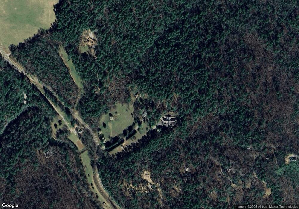
Map
Nearby Homes
- 269 Brown Mountain Dr
- 0 Coopers Creek Rd Unit 10360775
- 992 Coopers Creek Rd
- 369 Trillium Rd
- 0 Cooper Creek Dr Unit 407482
- 324 Cooper Creek Dr
- TRACT 2B Poplar Cove Rd
- TRACT 2A Poplar Cove Rd
- 152 Cavender Trace
- LT 43 Ridge View Way
- 1527 Parker Rd
- 1551 Parker Rd
- 681 Davis Dr
- 167 Halls Hidden Cove
- Lot 6 Double Creek Dr
- 146 Holly Cir
- 67 Big Tree Rd
- 530 Heavens Gate Way
- 9 Blackbear Mountain Trail
- Lt 56,57 Hemlock Dr
- 28911 Morganton Hwy
- 256 Browns Mill Mountain
- 278 Browns Mill Mountain
- 323 Browns Mill Mountain
- 154 Browns Mill Mountain
- 378 Browns Mill Mountain
- 290 Browns Mill Mountain
- 258 Browns Mill Mountain
- 300 Browns Mill Mountain
- 28946 Morganton Hwy
- 28946 Morganton Hwy
- 378 Browns Mill Mountain
- 53 Browns Mill Mountain
- 28627 Morganton Hwy
- 380 Browns Mill Mountain
- 302 Browns Mill Mount
- 43 Browns Mill Mountain
- 302 Browns Mill Mountain
- 0 Brown Mountain Ln Unit 150473
- 0 Brown Mountain Ln Unit 8584072