2872 Fairview Rd Andrews, NC 28901
Estimated Value: $271,000 - $417,000
3
Beds
4
Baths
7,778
Sq Ft
$47/Sq Ft
Est. Value
About This Home
This home is located at 2872 Fairview Rd, Andrews, NC 28901 and is currently estimated at $366,119, approximately $47 per square foot. 2872 Fairview Rd is a home located in Cherokee County with nearby schools including Andrews Elementary School, Andrews Middle School, and Andrews High School.
Ownership History
Date
Name
Owned For
Owner Type
Purchase Details
Closed on
Jan 18, 2022
Sold by
Brown Town Housing Llc
Bought by
Wood Family Farmland Llc
Current Estimated Value
Purchase Details
Closed on
Jan 26, 2021
Sold by
Brown Town Housing Llc
Bought by
Hall Jason and Hall Paula
Purchase Details
Closed on
Oct 28, 2020
Sold by
Valley River Estates Llc
Bought by
Brown Town Housing Llc
Home Financials for this Owner
Home Financials are based on the most recent Mortgage that was taken out on this home.
Original Mortgage
$170,000
Interest Rate
2.8%
Mortgage Type
VA
Create a Home Valuation Report for This Property
The Home Valuation Report is an in-depth analysis detailing your home's value as well as a comparison with similar homes in the area
Home Values in the Area
Average Home Value in this Area
Purchase History
| Date | Buyer | Sale Price | Title Company |
|---|---|---|---|
| Wood Family Farmland Llc | -- | Law Firm Of Mckeever & Smith P | |
| Hall Jason | $180,500 | None Available | |
| Brown Town Housing Llc | $465,000 | None Available | |
| Johnson Nicholas | $170,000 | None Available |
Source: Public Records
Mortgage History
| Date | Status | Borrower | Loan Amount |
|---|---|---|---|
| Previous Owner | Johnson Nicholas | $170,000 |
Source: Public Records
Tax History Compared to Growth
Tax History
| Year | Tax Paid | Tax Assessment Tax Assessment Total Assessment is a certain percentage of the fair market value that is determined by local assessors to be the total taxable value of land and additions on the property. | Land | Improvement |
|---|---|---|---|---|
| 2025 | $332 | $49,990 | $0 | $0 |
| 2024 | $332 | $49,990 | $0 | $0 |
| 2023 | -- | $49,990 | $0 | $0 |
| 2022 | $0 | $297,080 | $0 | $0 |
| 2021 | $2,757 | $484,130 | $239,690 | $244,440 |
| 2020 | $0 | $687,530 | $0 | $0 |
| 2019 | $4,024 | $669,000 | $0 | $0 |
| 2018 | $4,024 | $669,000 | $0 | $0 |
| 2017 | $0 | $669,000 | $0 | $0 |
| 2016 | $4,024 | $669,000 | $0 | $0 |
| 2015 | $4,024 | $669,000 | $261,190 | $407,810 |
| 2012 | -- | $669,000 | $261,190 | $407,810 |
Source: Public Records
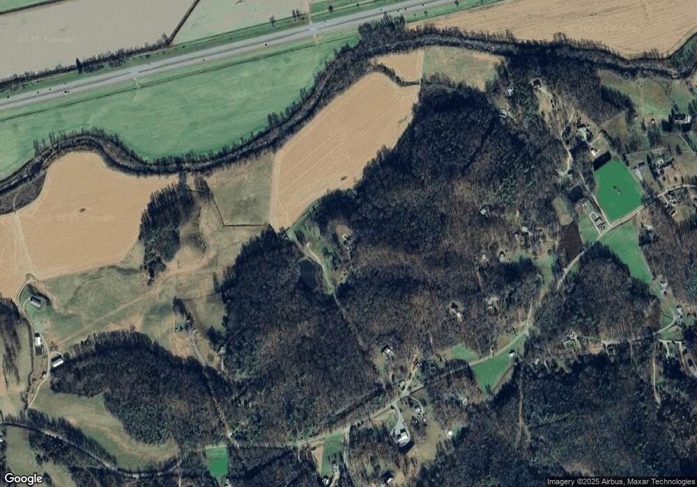
Map
Nearby Homes
- 3 AC Chestnut Flats Rd
- 1034 Chestnut Flats Rd
- 23.59 AC Chestnut Flats Rd
- 150 Cheyenne Ln
- 00 Sky Harbour Trace
- 760 Pinedale Ln
- 00 Rd
- 6 Black Rock Trail
- 5 Black Rock Trail
- 3 Black Rock Trail
- 4 Black Rock Trail
- LT 7 Valley View Heights Ln
- 00 West Rd
- 6765 Airport Rd
- 230 Pisgah Rd Unit 430
- 00 Airport Rd
- 135.49ac Webb Creek Rd
- 00 River Dance Dr
- 248 Hillside Ln
- 00 Main & Whitaker
- 2870 Fairview Rd
- 151 Castle Ln
- 2744 Fairview Rd
- 43 Ferncliff Ln
- 184 Adams Rd
- 184 Adams Rd
- 149 Castle Ln
- 149 Castle Ln
- 2835 Fairview Rd
- 2606 Fairview Rd
- 100 Adams Rd
- 00 Castle Ln
- 2801 Fairview Rd
- 291 Spruce Hill Ln
- 291 Spruce Hill Ln
- 475 Payne Rd
- 475 Payne Rd
- 380 Payne Rd
- 2957 Fairview Rd
- 2378 Fairview Rd