2872 Tate Ave Fort Lupton, CO 80621
Estimated Value: $676,000 - $792,000
4
Beds
3
Baths
2,464
Sq Ft
$301/Sq Ft
Est. Value
About This Home
This home is located at 2872 Tate Ave, Fort Lupton, CO 80621 and is currently estimated at $741,839, approximately $301 per square foot. 2872 Tate Ave is a home located in Weld County with nearby schools including Weld Central Senior High School.
Ownership History
Date
Name
Owned For
Owner Type
Purchase Details
Closed on
Sep 20, 2019
Sold by
Bunja Charlotte Joy
Bought by
Fry Sandy L and Fry Charles W
Current Estimated Value
Home Financials for this Owner
Home Financials are based on the most recent Mortgage that was taken out on this home.
Original Mortgage
$384,000
Outstanding Balance
$335,660
Interest Rate
3.5%
Mortgage Type
New Conventional
Estimated Equity
$406,179
Purchase Details
Closed on
May 31, 1991
Purchase Details
Closed on
Feb 12, 1987
Purchase Details
Closed on
Jan 9, 1976
Create a Home Valuation Report for This Property
The Home Valuation Report is an in-depth analysis detailing your home's value as well as a comparison with similar homes in the area
Home Values in the Area
Average Home Value in this Area
Purchase History
| Date | Buyer | Sale Price | Title Company |
|---|---|---|---|
| Fry Sandy L | $480,000 | Canyon Title | |
| -- | -- | -- | |
| -- | -- | -- | |
| -- | -- | -- |
Source: Public Records
Mortgage History
| Date | Status | Borrower | Loan Amount |
|---|---|---|---|
| Open | Fry Sandy L | $384,000 |
Source: Public Records
Tax History Compared to Growth
Tax History
| Year | Tax Paid | Tax Assessment Tax Assessment Total Assessment is a certain percentage of the fair market value that is determined by local assessors to be the total taxable value of land and additions on the property. | Land | Improvement |
|---|---|---|---|---|
| 2025 | $2,169 | $39,780 | $19,490 | $20,290 |
| 2024 | $2,169 | $39,780 | $19,490 | $20,290 |
| 2023 | $2,040 | $46,080 | $20,280 | $25,800 |
| 2022 | $1,676 | $32,320 | $14,890 | $17,430 |
| 2021 | $1,805 | $33,250 | $15,320 | $17,930 |
| 2020 | $1,356 | $26,470 | $7,240 | $19,230 |
| 2019 | $976 | $25,260 | $7,240 | $18,020 |
| 2018 | $697 | $19,810 | $6,620 | $13,190 |
| 2017 | $672 | $19,810 | $6,620 | $13,190 |
| 2016 | $431 | $15,980 | $5,920 | $10,060 |
| 2015 | $353 | $15,980 | $5,920 | $10,060 |
| 2014 | $357 | $7,960 | $4,440 | $3,520 |
Source: Public Records
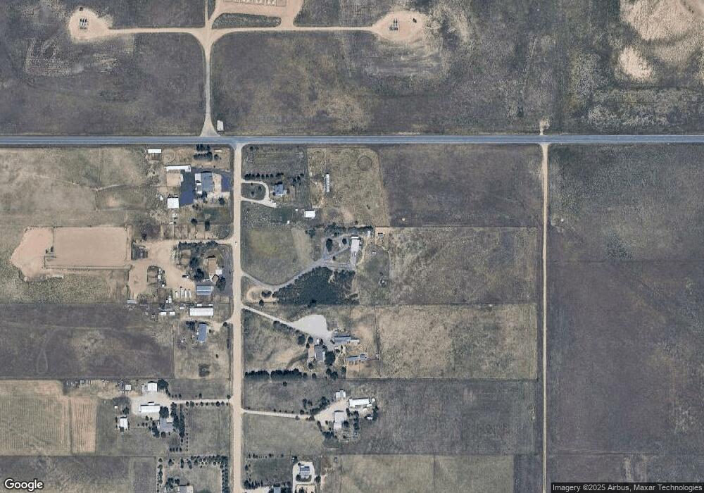
Map
Nearby Homes
- 2869 Mathews Ave
- 17445 County Road 6
- 2269 Mathews Ave
- 0 County Road 10 Grove Unit REC7476551
- The Livingston | Residence 39103 Plan at Bella Vista
- The Cimarron Plan at Bella Vista
- The Powell | Residence 39206 Plan at Bella Vista
- The Ontario | Residence 39205 Plan at Bella Vista
- The Mackenzie Plan at Bella Vista
- The Marion | Residence 39208 Plan at Bella Vista
- 307 Hunter Ave
- 567 Xavier Dr
- 2065 Wildwood St
- 4241 Meadowlark Rd
- 4241 Meadow Lark Rd
- 1836 Taos St
- 370 Mesa Ave
- 4806 Meadowlark Rd
- 302 Horizon Ave
- 4022 Sunrise Ln