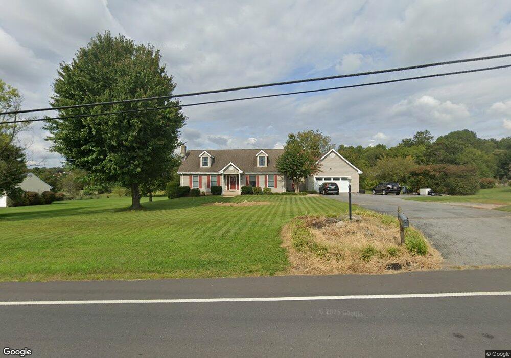
28731 Kemptown Rd Damascus, MD 20872
Estimated Value: $615,000 - $650,000
3
Beds
4
Baths
1,845
Sq Ft
$342/Sq Ft
Est. Value
About This Home
This home is located at 28731 Kemptown Rd, Damascus, MD 20872 and is currently estimated at $631,637, approximately $342 per square foot. 28731 Kemptown Rd is a home located in Montgomery County with nearby schools including Damascus Elementary School, John T. Baker Middle School, and Damascus High.
Ownership History
Date
Name
Owned For
Owner Type
Purchase Details
Closed on
Sep 2, 2011
Sold by
Moxley Kelly W and Moxley Kathrin R
Bought by
Lee Gene W and Lee Shannon L
Current Estimated Value
Home Financials for this Owner
Home Financials are based on the most recent Mortgage that was taken out on this home.
Original Mortgage
$256,000
Outstanding Balance
$176,309
Interest Rate
4.38%
Mortgage Type
New Conventional
Estimated Equity
$455,328
Create a Home Valuation Report for This Property
The Home Valuation Report is an in-depth analysis detailing your home's value as well as a comparison with similar homes in the area
Home Values in the Area
Average Home Value in this Area
Purchase History
| Date | Buyer | Sale Price | Title Company |
|---|---|---|---|
| Lee Gene W | $320,000 | None Available |
Source: Public Records
Mortgage History
| Date | Status | Borrower | Loan Amount |
|---|---|---|---|
| Open | Lee Gene W | $256,000 |
Source: Public Records
Tax History Compared to Growth
Tax History
| Year | Tax Paid | Tax Assessment Tax Assessment Total Assessment is a certain percentage of the fair market value that is determined by local assessors to be the total taxable value of land and additions on the property. | Land | Improvement |
|---|---|---|---|---|
| 2025 | $5,847 | $488,333 | -- | -- |
| 2024 | $5,847 | $452,000 | $228,700 | $223,300 |
| 2023 | $4,995 | $441,067 | $0 | $0 |
| 2022 | $4,642 | $430,133 | $0 | $0 |
| 2021 | $4,338 | $419,200 | $228,700 | $190,500 |
| 2020 | $4,338 | $410,800 | $0 | $0 |
| 2019 | $4,227 | $402,400 | $0 | $0 |
| 2018 | $4,134 | $394,000 | $228,700 | $165,300 |
| 2017 | $4,141 | $387,500 | $0 | $0 |
| 2016 | -- | $381,000 | $0 | $0 |
| 2015 | $3,242 | $374,500 | $0 | $0 |
| 2014 | $3,242 | $362,333 | $0 | $0 |
Source: Public Records
Map
Nearby Homes
- 28411 Kemptown Rd
- 10200 Moxley Rd Unit PARCEL 328
- 10200 Moxley Rd Unit 350 & 191
- 3553 Clarksburg Rd
- 10901 Moxley Rd
- 13253 Turf Terrace
- 28904 Ridge Rd
- 28924 Ridge Rd
- 12353 Fingerboard Rd
- 29007 Ridge Rd
- 3914 Millstone Cir
- 10895 Bethesda Church Rd
- 3607 Moline Ct
- 10891 Bethesda Church Rd
- 13681 Samhill Dr
- 11201 Bethesda Church Rd
- 3010 Burns Ct
- 12192 Overlook Dr
- 13520 Autumn Crest Dr S
- 9809 Highview Ave
- 28721 Kemptown Rd
- 10212 Johns Dr
- 10209 Johns Dr
- 10208 Johns Dr
- 10205 Johns Dr
- 10204 Johns Dr
- 10201 Johns Dr
- 10213 Fox Ridge Dr
- 10200 Johns Dr
- 10129 Johns Dr
- 10209 Fox Ridge Dr
- 10121 Johns Dr
- 10124 Johns Dr
- 10125 Johns Dr
- 10205 Fox Ridge Dr
- 10117 Johns Dr
- 10112 Johns Dr
- 28412 Honeysuckle Dr
- 28636 Kemptown Rd
- 28408 Honeysuckle Dr