2874 Green Branch Rd Weatherford, TX 76085
Estimated Value: $718,000
--
Bed
--
Bath
3,315
Sq Ft
$217/Sq Ft
Est. Value
About This Home
This home is located at 2874 Green Branch Rd, Weatherford, TX 76085 and is currently estimated at $718,000, approximately $216 per square foot. 2874 Green Branch Rd is a home located in Parker County with nearby schools including Crockett Elementary School, Tison Middle School, and Weatherford High School.
Ownership History
Date
Name
Owned For
Owner Type
Purchase Details
Closed on
May 22, 2012
Sold by
Kesterson Mary Lindsey Smith and Estate Of David A Kesterson
Bought by
Burnham David N and Burnham Stacia G
Current Estimated Value
Home Financials for this Owner
Home Financials are based on the most recent Mortgage that was taken out on this home.
Original Mortgage
$238,789
Outstanding Balance
$164,276
Interest Rate
3.75%
Mortgage Type
FHA
Estimated Equity
$553,724
Purchase Details
Closed on
Nov 18, 1998
Bought by
Shurbet Michael and Shurbet Tracy
Purchase Details
Closed on
Feb 14, 1997
Bought by
Shurbet Michael and Shurbet Tracy
Create a Home Valuation Report for This Property
The Home Valuation Report is an in-depth analysis detailing your home's value as well as a comparison with similar homes in the area
Home Values in the Area
Average Home Value in this Area
Purchase History
| Date | Buyer | Sale Price | Title Company |
|---|---|---|---|
| Burnham David N | -- | Hexter Fair Title Company | |
| Shurbet Michael | -- | -- | |
| Shurbet Michael | -- | -- |
Source: Public Records
Mortgage History
| Date | Status | Borrower | Loan Amount |
|---|---|---|---|
| Open | Burnham David N | $238,789 |
Source: Public Records
Tax History Compared to Growth
Tax History
| Year | Tax Paid | Tax Assessment Tax Assessment Total Assessment is a certain percentage of the fair market value that is determined by local assessors to be the total taxable value of land and additions on the property. | Land | Improvement |
|---|---|---|---|---|
| 2025 | $8,379 | $464,500 | $24,980 | $439,520 |
| 2024 | $8,379 | $577,940 | -- | -- |
| 2023 | $8,379 | $525,400 | $0 | $0 |
| 2022 | $9,370 | $477,640 | $16,380 | $461,260 |
| 2021 | $9,764 | $477,640 | $16,380 | $461,260 |
| 2020 | $8,936 | $419,840 | $10,900 | $408,940 |
| 2019 | $8,891 | $419,840 | $10,900 | $408,940 |
| 2018 | $8,123 | $357,040 | $8,460 | $348,580 |
| 2017 | $8,282 | $357,040 | $8,460 | $348,580 |
| 2016 | $7,438 | $335,090 | $8,460 | $326,630 |
| 2015 | $6,879 | $335,090 | $8,460 | $326,630 |
| 2014 | $5,929 | $302,140 | $7,970 | $294,170 |
Source: Public Records
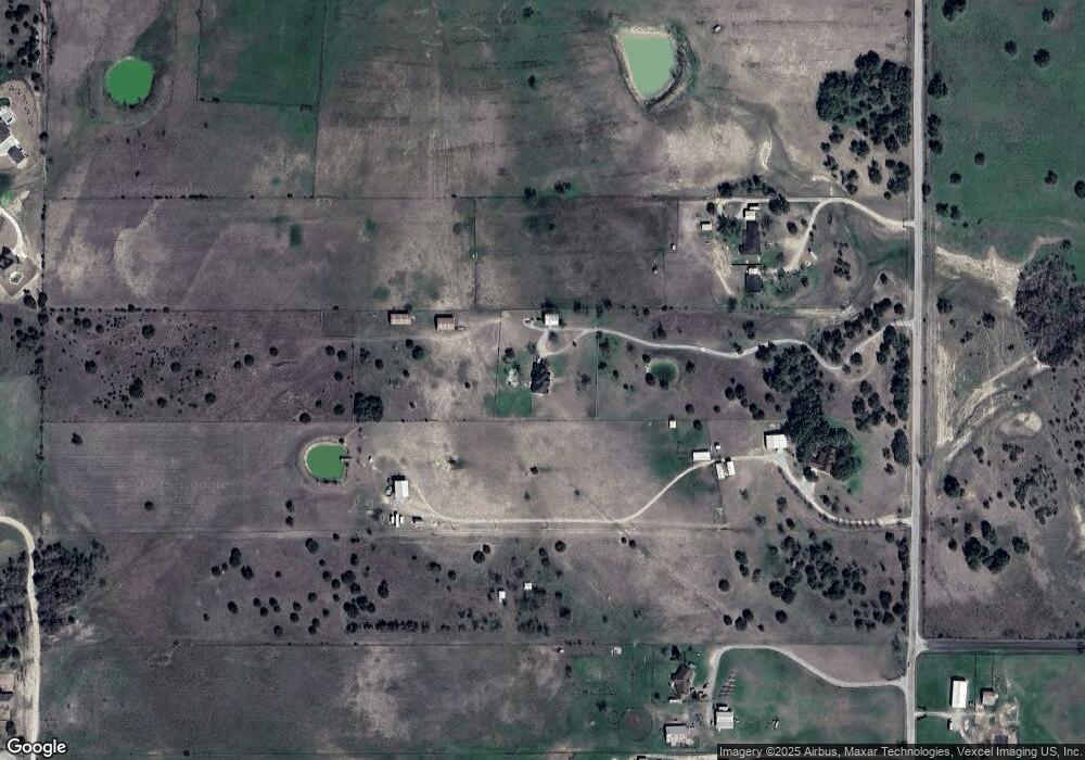
Map
Nearby Homes
- 1860 Trailwood Dr
- Haven Plan at Wossum Ranch
- 1300 Green Ridge Rd
- Vista Plan at Wossum Ranch
- 1305 Green Ridge Rd
- 5885-F Upper Denton Rd
- 5885-H Upper Denton Rd
- E 67 Acres TBD Upper Denton Rd
- 5885-G Upper Denton Rd
- 707 Wells Ln
- 107 W Stagecoach Trail
- 1301 Eagle Dr
- 1337 Eagle Dr
- 104 W Stagecoach Trail
- 737 Green Branch Rd
- 777 Trailwood Dr
- 901 Green Branch Rd
- 368 Green Branch Rd
- Lot 118 Stonebridge Dr
- Lot 117 Stonebridge Dr
- 2816 Green Branch Rd
- 2988 Green Branch Rd
- 2725 Upper Denton Rd
- 2721 Upper Denton Rd
- 2720 Upper Denton Rd
- 1127 Stagecoach Ranch Dr
- 509 Dillingham Ln
- 2669 Upper Denton Rd
- 100 Hidden Creek Loop
- 2651 Upper Denton Rd
- 1124 Stagecoach Ranch Dr
- 2558 Green Branch Rd
- 480 Dillingham Ln
- 2881 Upper Denton Rd
- 519 Dillingham Ln
- 2595 Upper Denton Rd
- 103 Hidden Creek Loop
- 1123 Stagecoach Ranch Dr
- 2909 Upper Denton Rd
- 112 Hidden Creek Loop