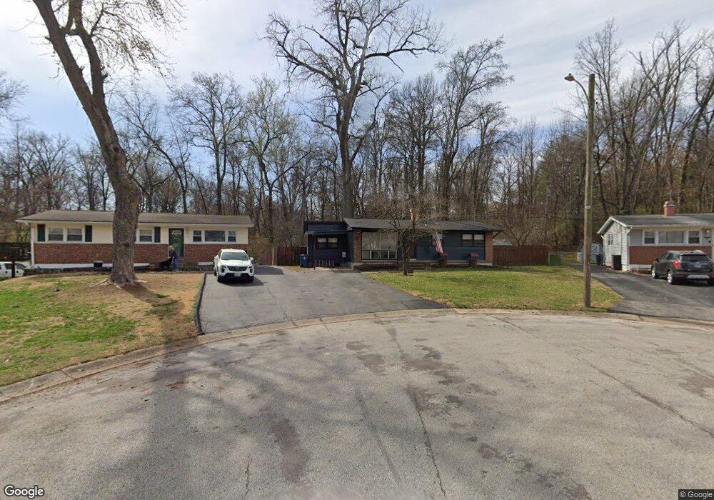
2875 Lesmer Ct Saint Louis, MO 63114
Estimated Value: $140,210 - $197,000
3
Beds
1
Bath
972
Sq Ft
$169/Sq Ft
Est. Value
About This Home
This home is located at 2875 Lesmer Ct, Saint Louis, MO 63114 and is currently estimated at $164,553, approximately $169 per square foot. 2875 Lesmer Ct is a home located in St. Louis County with nearby schools including Buder Elementary School, Hoech Middle School, and Ritenour Senior High School.
Ownership History
Date
Name
Owned For
Owner Type
Purchase Details
Closed on
Feb 28, 2012
Sold by
Matlock Reba and Nichols Chris
Bought by
Nichols Reba and Nichols Chris
Current Estimated Value
Purchase Details
Closed on
Jul 14, 2003
Sold by
Matlock Reba and Nichols Chris
Bought by
Matlock Reba and Nichols Chris
Purchase Details
Closed on
Aug 30, 2000
Sold by
Hite Craig A and Hite Brenda L
Bought by
Matlock Reba and Nicholas Chris
Home Financials for this Owner
Home Financials are based on the most recent Mortgage that was taken out on this home.
Original Mortgage
$79,959
Outstanding Balance
$29,369
Interest Rate
8.21%
Mortgage Type
FHA
Estimated Equity
$135,184
Create a Home Valuation Report for This Property
The Home Valuation Report is an in-depth analysis detailing your home's value as well as a comparison with similar homes in the area
Home Values in the Area
Average Home Value in this Area
Purchase History
| Date | Buyer | Sale Price | Title Company |
|---|---|---|---|
| Nichols Reba | -- | None Available | |
| Matlock Reba | -- | -- | |
| Matlock Reba | $80,000 | Land Title |
Source: Public Records
Mortgage History
| Date | Status | Borrower | Loan Amount |
|---|---|---|---|
| Open | Matlock Reba | $79,959 |
Source: Public Records
Tax History Compared to Growth
Tax History
| Year | Tax Paid | Tax Assessment Tax Assessment Total Assessment is a certain percentage of the fair market value that is determined by local assessors to be the total taxable value of land and additions on the property. | Land | Improvement |
|---|---|---|---|---|
| 2025 | $1,743 | $27,950 | $10,600 | $17,350 |
| 2024 | $1,743 | $20,280 | $2,700 | $17,580 |
| 2023 | $1,705 | $20,280 | $2,700 | $17,580 |
| 2022 | $1,643 | $17,140 | $2,700 | $14,440 |
| 2021 | $1,643 | $17,140 | $2,700 | $14,440 |
| 2020 | $1,515 | $14,560 | $3,460 | $11,100 |
| 2019 | $1,498 | $14,560 | $3,460 | $11,100 |
| 2018 | $1,382 | $12,070 | $2,700 | $9,370 |
| 2017 | $1,318 | $12,070 | $2,700 | $9,370 |
| 2016 | $1,230 | $11,460 | $3,460 | $8,000 |
| 2015 | $1,258 | $11,460 | $3,460 | $8,000 |
| 2014 | $1,660 | $15,470 | $2,530 | $12,940 |
Source: Public Records
Map
Nearby Homes
- 10235 Midland Blvd
- 10222 Saint Dennis Ln
- 3000 Ashby Rd
- 3113 Pearl Harbor Dr
- 9911 Dennison Ave
- 3001 Ashby Rd
- 10228 Saint Arsene Ln
- 9922 Carlyle Ave
- 3005 Ashby Rd
- 10515 Clarendon Ave
- 2703 Ashby Rd
- 3134 O Hare Dr
- 10300 Breckenridge Rd
- 10325 Breckenridge Rd
- 3217 Krem Ave
- 10027 Breckenridge Rd
- 10525 Hobday Ave
- 3246 Saint Joachim Ln
- 10651 Thorpe Ave
- 2412 Silkwood Dr