2875 Maple Brook Rd New Concord, OH 43762
Estimated Value: $502,000 - $614,000
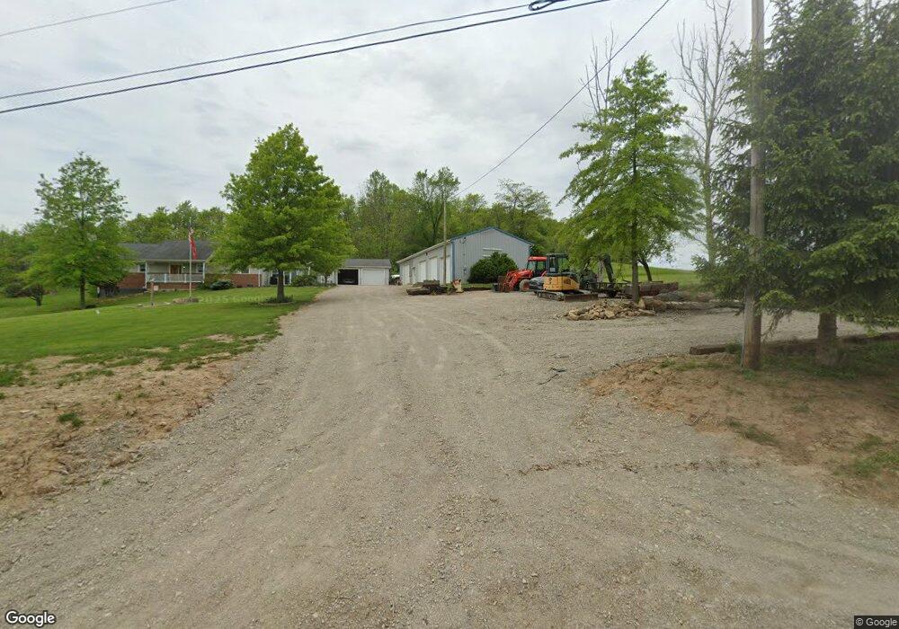
About This Home
This home is located at 2875 Maple Brook Rd, New Concord, OH 43762 and is currently estimated at $563,876, approximately $229 per square foot. 2875 Maple Brook Rd is a home located in Muskingum County with nearby schools including New Concord Elementary School, East Muskingum Middle School, and Larry Miller Intermediate Elementary School.
Ownership History
Purchase Details
Home Financials for this Owner
Home Financials are based on the most recent Mortgage that was taken out on this home.Purchase Details
Home Financials for this Owner
Home Financials are based on the most recent Mortgage that was taken out on this home.Purchase History
We collect this data history from publicly available records. To have your information removed, we recommend requesting removal directly through your county’s website.
| Date | Buyer | Sale Price | Title Company |
|---|---|---|---|
| Patterson Dalton F | $345,000 | None Available | |
| Huey Joshua M | $26,500 | -- |
Mortgage History
We collect this data history from publicly available records. To have your information removed, we recommend requesting removal directly through your county’s website.
| Date | Status | Borrower | Loan Amount |
|---|---|---|---|
| Open | Patterson Dalton F | $345,000 | |
| Previous Owner | Huey Joshua M | $15,500 |
Tax History
| Year | Tax Paid | Tax Assessment Tax Assessment Total Assessment is a certain percentage of the fair market value that is determined by local assessors to be the total taxable value of land and additions on the property. | Land | Improvement |
|---|---|---|---|---|
| 2025 | $8,643 | $147,840 | $18,830 | $129,010 |
| 2024 | $4,853 | $147,840 | $18,830 | $129,010 |
| 2023 | $4,016 | $114,520 | $12,600 | $101,920 |
| 2022 | $3,928 | $114,520 | $12,600 | $101,920 |
| 2021 | $3,879 | $114,520 | $12,600 | $101,920 |
| 2020 | $3,475 | $99,575 | $10,955 | $88,620 |
| 2019 | $3,541 | $99,575 | $10,955 | $88,620 |
| 2018 | $2,890 | $86,450 | $10,955 | $75,495 |
| 2017 | $2,569 | $68,530 | $8,960 | $59,570 |
| 2016 | $2,573 | $68,530 | $8,960 | $59,570 |
| 2015 | $2,638 | $68,530 | $8,960 | $59,570 |
| 2013 | $2,763 | $67,030 | $8,960 | $58,070 |
Map
- 470 Nel da Mar Dr
- 825 Friendship Dr
- 10545 Main St
- 212 Westview Dr
- 180 Montgomery Blvd
- 170 Thompson Ave
- 135 S Moose Eye Rd
- 101 N Sundale Rd
- 167 W Main St
- 10050 Norwich Dr
- 0 Rix Mills Rd
- 177 Lowery Ln
- 66 W High St
- 110 Cherry Ln
- 245 Liberty Rd
- 60936 Patch Rd
- 905 W Union Rd
- 7400 Sweetheart Dr
- 7915 East Pike
- Lot 18 & 19 Greenbriar Dr
- 2710 Maple Brook Rd
- 3005 Maple Brook Rd
- 2900 Maple Brook Rd
- 2860 N Moose Eye Rd
- 2820 N Moose Eye Rd
- 2775 Maple Brook Rd
- 2860 Moose Eye Rd
- 2795 Maple Brook Rd
- 2781 N Moose Eye Rd
- 2675 Maple Brook Rd
- 2645 N Moose Eye Rd
- 3110 N Moose Eye Rd
- 3110 N Moose Eye Rd
- 2795 N Moose Eye Rd
- 2615 Maple Brook Rd
- 2585 N Moose Eye Rd
- 2500 Maple Brook Rd
- 2350 Maple Brook Rd
- 2300 Maple Brook Rd
- 2435 Maple Brook Rd
Ask me questions while you tour the home.