Estimated Value: $289,000 - $474,000
--
Bed
--
Bath
--
Sq Ft
11.7
Acres
About This Home
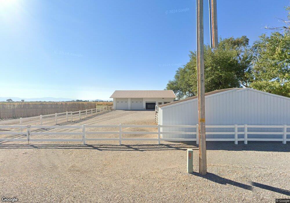
This home is located at 2875 W 2500 S, Delta, UT 84624 and is currently estimated at $356,825. 2875 W 2500 S is a home.
Ownership History
Date
Name
Owned For
Owner Type
Purchase Details
Closed on
Feb 1, 2022
Sold by
Stanworth Family Revocable Trust and Stanworth Matthew Roger
Bought by
Mjt Farms Llc
Current Estimated Value
Purchase Details
Closed on
May 4, 2006
Sold by
Cropper Marlow
Bought by
Walker Pat O and Walker Diana
Home Financials for this Owner
Home Financials are based on the most recent Mortgage that was taken out on this home.
Original Mortgage
$12,650
Interest Rate
6.41%
Mortgage Type
Future Advance Clause Open End Mortgage
Purchase Details
Closed on
Apr 11, 2005
Sold by
Cropper Marlow
Bought by
Greathouse Craig P and Greathouse Deborah B
Home Financials for this Owner
Home Financials are based on the most recent Mortgage that was taken out on this home.
Original Mortgage
$26,163
Interest Rate
5.77%
Mortgage Type
Purchase Money Mortgage
Create a Home Valuation Report for This Property
The Home Valuation Report is an in-depth analysis detailing your home's value as well as a comparison with similar homes in the area
Home Values in the Area
Average Home Value in this Area
Purchase History
| Date | Buyer | Sale Price | Title Company |
|---|---|---|---|
| Mjt Farms Llc | -- | None Listed On Document | |
| Walker Pat O | -- | -- | |
| Greathouse Craig P | -- | First American Title Insuran |
Source: Public Records
Mortgage History
| Date | Status | Borrower | Loan Amount |
|---|---|---|---|
| Previous Owner | Walker Pat O | $12,650 | |
| Previous Owner | Walker Pat O | $101,200 | |
| Previous Owner | Greathouse Craig P | $26,163 |
Source: Public Records
Tax History Compared to Growth
Tax History
| Year | Tax Paid | Tax Assessment Tax Assessment Total Assessment is a certain percentage of the fair market value that is determined by local assessors to be the total taxable value of land and additions on the property. | Land | Improvement |
|---|---|---|---|---|
| 2025 | $826 | $169,359 | $28,078 | $141,281 |
| 2024 | $826 | $152,853 | $20,704 | $132,149 |
| 2023 | $1,608 | $152,853 | $20,704 | $132,149 |
| 2022 | $1,132 | $99,932 | $18,300 | $81,632 |
| 2021 | $937 | $79,665 | $16,650 | $63,015 |
| 2020 | $902 | $77,623 | $16,650 | $60,973 |
| 2019 | $860 | $74,652 | $16,650 | $58,002 |
| 2018 | $732 | $65,321 | $16,650 | $48,671 |
| 2017 | $698 | $59,703 | $13,350 | $46,353 |
| 2016 | $667 | $59,703 | $13,350 | $46,353 |
| 2015 | $667 | $59,703 | $13,350 | $46,353 |
| 2014 | -- | $59,703 | $13,350 | $46,353 |
| 2013 | -- | $65,882 | $13,350 | $52,532 |
Source: Public Records
Map
Nearby Homes
- 0 Tbd 3000 Rd S Unit LotWP001
- 17000 W 2500 Rd S
- 16700 W 2500 South Rd
- 16800 W 2500 South Rd
- 6177 S 3000 Rd W
- 3480 S 4000 W
- 3770 S 4000 Rd W
- 6500 W 2000 S
- 470 S 2750 W Unit 6
- 460 S 2750 W Unit 7
- 490 S 2750 W Unit 5
- 465 S 2750 W Unit 4
- 6500 S 3000 West Rd
- 3885 W 4500 S
- 168 N 100 Rd W
- 289 W Center St S
- 700 Acres
- 1500 S 10000 W
- 6000 N 10000 W
- 700 Acres Hwy 6 & Main St (Hwy 50)