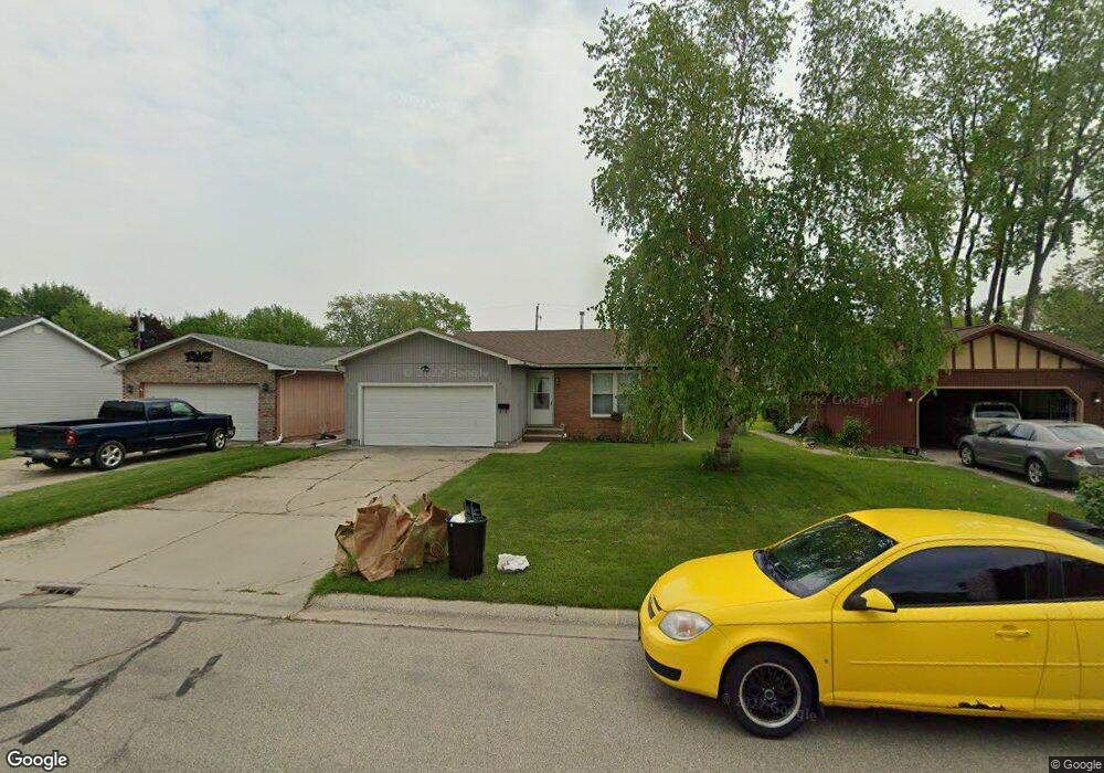
2876 W Rick Dr Port Huron, MI 48060
Estimated Value: $150,812 - $170,000
2
Beds
1
Bath
1,022
Sq Ft
$155/Sq Ft
Est. Value
About This Home
This home is located at 2876 W Rick Dr, Port Huron, MI 48060 and is currently estimated at $158,703, approximately $155 per square foot. 2876 W Rick Dr is a home located in St. Clair County with nearby schools including Michigamme Elementary School, Central Middle School, and Port Huron High School.
Ownership History
Date
Name
Owned For
Owner Type
Purchase Details
Closed on
Dec 29, 2006
Sold by
Megie David
Bought by
Schrader Timothy J
Current Estimated Value
Home Financials for this Owner
Home Financials are based on the most recent Mortgage that was taken out on this home.
Original Mortgage
$47,000
Outstanding Balance
$5,257
Interest Rate
6.24%
Mortgage Type
New Conventional
Estimated Equity
$153,446
Create a Home Valuation Report for This Property
The Home Valuation Report is an in-depth analysis detailing your home's value as well as a comparison with similar homes in the area
Home Values in the Area
Average Home Value in this Area
Purchase History
| Date | Buyer | Sale Price | Title Company |
|---|---|---|---|
| Schrader Timothy J | $80,000 | None Available |
Source: Public Records
Mortgage History
| Date | Status | Borrower | Loan Amount |
|---|---|---|---|
| Open | Schrader Timothy J | $47,000 |
Source: Public Records
Tax History Compared to Growth
Tax History
| Year | Tax Paid | Tax Assessment Tax Assessment Total Assessment is a certain percentage of the fair market value that is determined by local assessors to be the total taxable value of land and additions on the property. | Land | Improvement |
|---|---|---|---|---|
| 2025 | $1,760 | $69,300 | $0 | $0 |
| 2024 | $1,472 | $66,900 | $0 | $0 |
| 2023 | $1,390 | $59,300 | $0 | $0 |
| 2022 | $1,430 | $51,400 | $0 | $0 |
| 2021 | $1,357 | $46,800 | $0 | $0 |
| 2020 | $1,373 | $44,900 | $44,900 | $0 |
| 2019 | $1,348 | $33,000 | $0 | $0 |
| 2018 | $1,319 | $33,000 | $0 | $0 |
| 2017 | $1,178 | $29,800 | $0 | $0 |
| 2016 | $1,002 | $29,800 | $0 | $0 |
| 2015 | $983 | $29,700 | $29,700 | $0 |
| 2014 | $983 | $28,200 | $28,200 | $0 |
| 2013 | -- | $27,000 | $0 | $0 |
Source: Public Records
Map
Nearby Homes
- 1403 Catherine McAuley Dr
- 2752 Military St
- 2718 Electric Ave
- 2704 Military St
- 3136 Military St
- 9999 Cleveland Ave
- 2444 Military St
- 2627 24th St
- Lot 3 24th St
- 2506 Vanness St
- 2513 Vanness St
- 1127 Minnie St
- 2411 26th St
- 1831 11th St
- 2203 VL Railroad St
- 2200 VL Railroad St
- 1309 Division St
- 1325 Division St
- 2600 Vanness St
- 2023 23rd St
- 2870 W Rick Dr
- 2882 W Rick Dr
- 2864 W Rick Dr
- 2886 W Rick Dr
- 2877 Mason Ave
- 2867 Mason Ave
- 2861 Mason Ave
- 2881 Mason Ave
- 2875 W Rick Dr
- 2865 W Rick Dr
- 2885 W Rick Dr
- 2861 W Rick Dr
- 2889 Mason Ave
- 2889 Mason Ave
- 2828 E Rick Dr
- 1505 W Rick Ct
- 2894 W Rick Dr
- 2891 Mason Ave
- 2853 Mason Ave
- 2681 Susan Ct Unit 1518