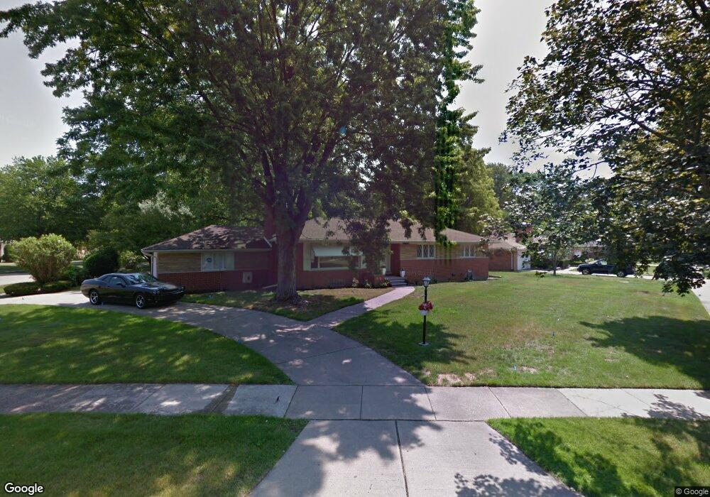
28770 Bloomfield Dr Lathrup Village, MI 48076
Estimated Value: $288,000 - $357,000
3
Beds
3
Baths
1,823
Sq Ft
$183/Sq Ft
Est. Value
About This Home
This home is located at 28770 Bloomfield Dr, Lathrup Village, MI 48076 and is currently estimated at $332,885, approximately $182 per square foot. 28770 Bloomfield Dr is a home located in Oakland County with nearby schools including Alice M. Birney K-8 School, Mcintyre Elementary School, and Crescent Academy Pk-1.
Ownership History
Date
Name
Owned For
Owner Type
Purchase Details
Closed on
Feb 6, 2019
Sold by
Mitchell Maurice
Bought by
Mitchell Maurice and Mitchell Stnthia
Current Estimated Value
Purchase Details
Closed on
Sep 30, 2010
Sold by
Fifth Third Mortgage Company
Bought by
Federal National Mortgage Association
Purchase Details
Closed on
Sep 28, 2010
Sold by
Smith Jacquelyn E and Smith Darryl
Bought by
Fifth Third Mortgage Company
Purchase Details
Closed on
Mar 28, 2003
Sold by
Smith Herman
Bought by
Smith Darryl and Smith Jacqueline
Create a Home Valuation Report for This Property
The Home Valuation Report is an in-depth analysis detailing your home's value as well as a comparison with similar homes in the area
Home Values in the Area
Average Home Value in this Area
Purchase History
| Date | Buyer | Sale Price | Title Company |
|---|---|---|---|
| Mitchell Maurice | -- | None Available | |
| Federal National Mortgage Association | -- | None Available | |
| Fifth Third Mortgage Company | $177,218 | None Available | |
| Smith Darryl | -- | -- |
Source: Public Records
Tax History Compared to Growth
Tax History
| Year | Tax Paid | Tax Assessment Tax Assessment Total Assessment is a certain percentage of the fair market value that is determined by local assessors to be the total taxable value of land and additions on the property. | Land | Improvement |
|---|---|---|---|---|
| 2024 | $3,778 | $151,830 | $0 | $0 |
| 2023 | $5,145 | $131,720 | $0 | $0 |
| 2022 | $3,354 | $123,700 | $0 | $0 |
| 2021 | $4,090 | $114,370 | $0 | $0 |
| 2020 | $3,004 | $112,040 | $0 | $0 |
| 2019 | $3,744 | $107,210 | $0 | $0 |
| 2018 | $3,695 | $98,380 | $0 | $0 |
| 2017 | $3,655 | $90,720 | $0 | $0 |
| 2016 | $3,654 | $80,650 | $0 | $0 |
| 2015 | -- | $71,910 | $0 | $0 |
| 2014 | -- | $61,990 | $0 | $0 |
| 2011 | -- | $62,680 | $0 | $0 |
Source: Public Records
Map
Nearby Homes
- 29214 Candlewood Ln
- 29140 Candlewood Ln
- 29239 Somerset Dr
- 21650 W 11 Mile Rd
- 18797 Wiltshire Blvd
- 29484 Spring Hill Dr
- 19601 W 12 Mile Rd Unit 102
- 29743 Chelmsford Rd
- 27943 Sunset Blvd W
- 29807 Spring Hill Dr
- 29848 Rambling Rd
- 18830 San Quentin Dr
- 29662 Westbrook Pkwy
- 27619 California Dr SW
- 20141 Lacrosse Ave
- 28580 Red Leaf Ln
- 27714 California Dr NE
- 28249 Red Leaf Ln
- 28405 Stuart Ave
- 20120 Covington Pkwy
- 28740 Eldorado Place
- 18525 Roseland Blvd
- 18554 Roseland Blvd
- 18536 Roseland Blvd
- 28761 Bloomfield Dr
- 28827 Somerset Place
- 28735 Eldorado Place
- 18520 Roseland Blvd
- 28751 Bloomfield Dr
- 28700 Eldorado Place
- 18504 Roseland Blvd
- 28711 Eldorado Place
- 18720 Roseland Blvd
- 28807 Somerset Plc
- 28807 Somerset Place
- 18741 Roseland Blvd
- 18490 Roseland Blvd
- 18740 Roseland Blvd
- 28725 Bloomfield Dr
- 28686 Eldorado Place