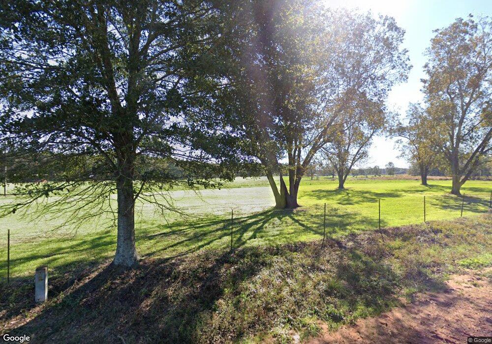
28779 Highway 1070 Franklinton, LA 70438
Estimated Value: $254,000 - $320,498
4
Beds
2
Baths
1,669
Sq Ft
$173/Sq Ft
Est. Value
About This Home
This home is located at 28779 Highway 1070, Franklinton, LA 70438 and is currently estimated at $288,375, approximately $172 per square foot. 28779 Highway 1070 is a home located in Washington Parish with nearby schools including Thomas Elementary School and Pine School.
Ownership History
Date
Name
Owned For
Owner Type
Purchase Details
Closed on
May 20, 2025
Sold by
Creel Caleb Dale and Creel Darrien Dykes
Bought by
Gerald Lauren
Current Estimated Value
Purchase Details
Closed on
Nov 17, 2023
Sold by
Dykes Darren Scott and Dykes Pamela Kay
Bought by
Creel Caleb Dale and Creel Darrien Dykes
Purchase Details
Closed on
May 24, 2022
Sold by
Scott Dykes Darren and Kay Pamela
Bought by
Ramirez German
Purchase Details
Closed on
Apr 6, 2013
Sold by
Hayden Sherri Lynn and Hayden Sherri Lynn Gerald
Bought by
Dykes Darren Scott and Dykes Pamela Kay Gerald
Create a Home Valuation Report for This Property
The Home Valuation Report is an in-depth analysis detailing your home's value as well as a comparison with similar homes in the area
Home Values in the Area
Average Home Value in this Area
Purchase History
| Date | Buyer | Sale Price | Title Company |
|---|---|---|---|
| Gerald Lauren | -- | None Listed On Document | |
| Creel Caleb Dale | -- | None Listed On Document | |
| Ramirez German | $22,000 | First American Title | |
| Dykes Darren Scott | $191,504 | None Available |
Source: Public Records
Tax History Compared to Growth
Tax History
| Year | Tax Paid | Tax Assessment Tax Assessment Total Assessment is a certain percentage of the fair market value that is determined by local assessors to be the total taxable value of land and additions on the property. | Land | Improvement |
|---|---|---|---|---|
| 2024 | $190 | $1,890 | $0 | $0 |
| 2023 | $900 | $8,940 | $2,940 | $6,000 |
| 2022 | $1,002 | $8,940 | $2,940 | $6,000 |
| 2021 | $1,025 | $8,940 | $2,940 | $6,000 |
| 2020 | $1,022 | $8,940 | $2,940 | $6,000 |
| 2019 | $1,071 | $8,940 | $2,940 | $6,000 |
| 2018 | $174 | $8,940 | $2,940 | $6,000 |
| 2017 | $1,088 | $8,940 | $2,940 | $6,000 |
| 2015 | $1,091 | $8,880 | $2,880 | $6,000 |
| 2013 | $1,160 | $8,880 | $2,880 | $6,000 |
Source: Public Records
Map
Nearby Homes
- 29279 Highway 1070
- 28336 Highway 424
- 10 acres Par Road 180
- 29479 Louisiana 1070
- 0 Honey Hill Rd
- 30182 Karsyn Dr
- 5 Louisiana 62
- 26475 Louisiana 62
- 26450 Choctaw Rd
- 30163 Red Penton Rd
- 0 Lot 9 Highway 62 None
- 0 Lot 12 Highway 62 None
- 0 Lot 12 Highway 62 Unit 2492795
- 26354 C Jenkins Rd
- 50077 Lawrence Creek Rd
- 50457 Frank Dillon Rd
- 0 Highway 62 None
- 30159 Louisiana 62
- 0 Tbd Lake Choctaw Rd
- 25284 Lake Choctaw Dr
- 28779 Highway 1070
- 28779 Highway 1070
- 28779 Hwy 1070 None
- 28780 Hwy 1070
- 28780 Hwy 1070 None
- 53008 Pierce Brooks Rd
- 53036 Pierce Brooks Rd
- 53066 Pierce Brooks Rd
- 28931 Louisiana 1070
- 28931 Highway 1070
- 28762 Ed Gerald Rd
- 28648 Highway 1070
- 28599 Highway 1070
- 49057 Cook Ln
- 49087 Cook Ln
- 28647 Highway 1070
- 28551 Bud Slocum Rd
- 28428 Bud Slocum Rd
- 29051 Highway 1070
- 53116 Gerald Verdin Rd
