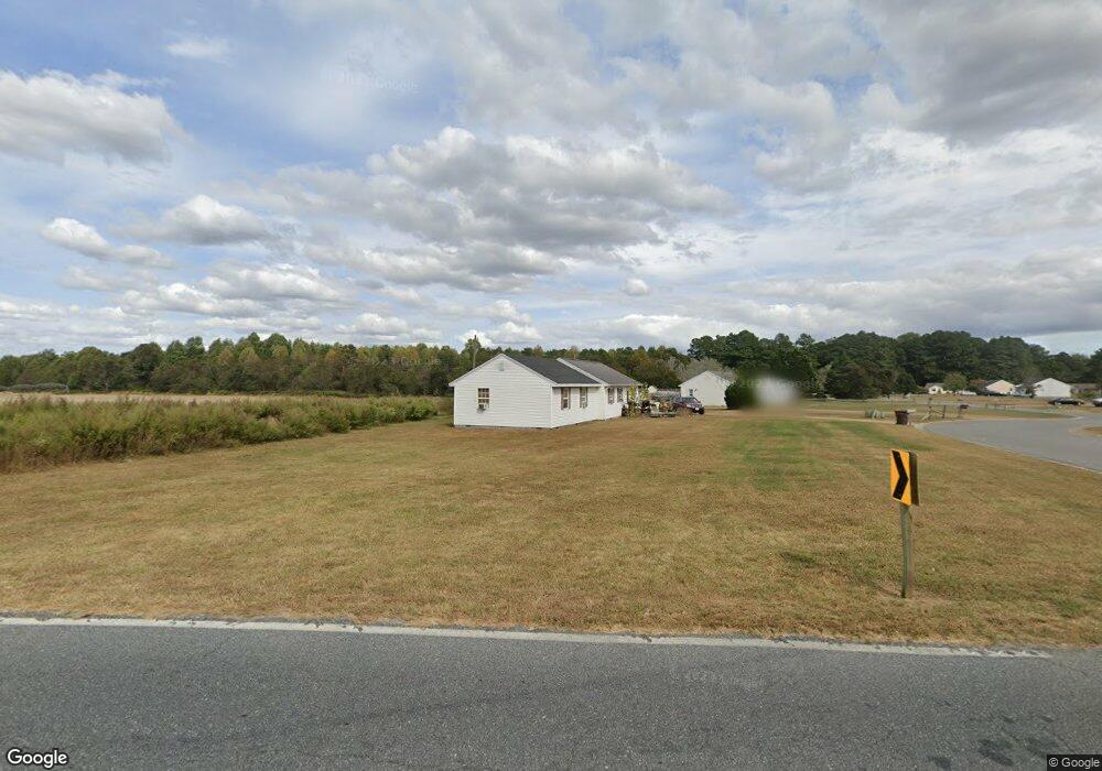
28780 Log Cabin Rd Salisbury, MD 21801
North Salisbury NeighborhoodEstimated Value: $221,000 - $3,144,000
Studio
1
Bath
1,184
Sq Ft
$829/Sq Ft
Est. Value
About This Home
This home is located at 28780 Log Cabin Rd, Salisbury, MD 21801 and is currently estimated at $981,396, approximately $828 per square foot. 28780 Log Cabin Rd is a home located in Wicomico County with nearby schools including Westside Primary School, Westside Intermediate School, and Salisbury Middle School.
Ownership History
Date
Name
Owned For
Owner Type
Purchase Details
Closed on
Mar 15, 2013
Sold by
Culver Howard T and Lewis Carolyn C
Bought by
Log Cabin Properties Llc
Current Estimated Value
Home Financials for this Owner
Home Financials are based on the most recent Mortgage that was taken out on this home.
Original Mortgage
$1,320,000
Outstanding Balance
$801,663
Interest Rate
3.56%
Mortgage Type
Future Advance Clause Open End Mortgage
Estimated Equity
$179,733
Create a Home Valuation Report for This Property
The Home Valuation Report is an in-depth analysis detailing your home's value as well as a comparison with similar homes in the area
Home Values in the Area
Average Home Value in this Area
Purchase History
| Date | Buyer | Sale Price | Title Company |
|---|---|---|---|
| Log Cabin Properties Llc | $1,650,160 | None Available |
Source: Public Records
Mortgage History
| Date | Status | Borrower | Loan Amount |
|---|---|---|---|
| Open | Log Cabin Properties Llc | $1,320,000 | |
| Closed | Log Cabin Properties Llc | $1,320,000 |
Source: Public Records
Tax History
| Year | Tax Paid | Tax Assessment Tax Assessment Total Assessment is a certain percentage of the fair market value that is determined by local assessors to be the total taxable value of land and additions on the property. | Land | Improvement |
|---|---|---|---|---|
| 2025 | $1,277 | $133,133 | $0 | $0 |
| 2024 | $1,268 | $125,967 | $0 | $0 |
| 2023 | $1,185 | $118,800 | $94,400 | $24,400 |
| 2022 | $1,264 | $118,200 | $0 | $0 |
| 2021 | $1,262 | $117,600 | $0 | $0 |
| 2020 | $1,267 | $117,000 | $94,400 | $22,600 |
| 2019 | $1,285 | $117,000 | $94,400 | $22,600 |
| 2018 | $1,291 | $117,000 | $94,400 | $22,600 |
| 2017 | $1,293 | $117,200 | $0 | $0 |
| 2016 | -- | $116,500 | $0 | $0 |
| 2015 | $1,088 | $115,800 | $0 | $0 |
| 2014 | $1,088 | $115,100 | $0 | $0 |
Source: Public Records
Map
Nearby Homes
- LOT 1 Jersey Rd
- Lot 2 Jersey Rd
- Lot 3 Jersey Rd
- 29167 Doubletree Dr
- 0 Log Cabin Rd
- 7860 Bennett Park Dr
- 7925 Naas Rd
- 0 Jersey Rd Unit MDWC2021618
- 7877 Dublin Rd
- 29463 Windy Hill Cir
- 0 Foskey Ln Unit MDWC2017454
- 0 Foskey Ln Unit MDWC112230
- 8655 N West Rd
- 29592 Foskey Ln
- 667 Cook Dr
- 1707 West Rd
- 28600 Naylor Mill Rd
- 28964 Waller Rd
- Lot D5 International Dr
- 426 Dorsey Ln
- 8522 Jersey Rd
- 8514 Jersey Rd
- 8560 Jersey Rd
- 8518 Jersey Rd
- 28774 Log Cabin Rd
- 8564 Jersey Rd
- VACANT LOT Jersey Rd
- 29462 Connelly Mill Rd
- 8677 Jersey Rd
- 8681 Jersey Rd
- 8615 Jersey Rd
- 8695 Jersey Rd
- 8647 Jersey Rd
- 8641 Jersey Rd
- 8623 Jersey Rd
- 8669 Jersey Rd
- 8657 Jersey Rd
- 8633 Jersey Rd
- 8324 Jersey Rd
- 8228 Burnt Branch Dr
Your Personal Tour Guide
Ask me questions while you tour the home.