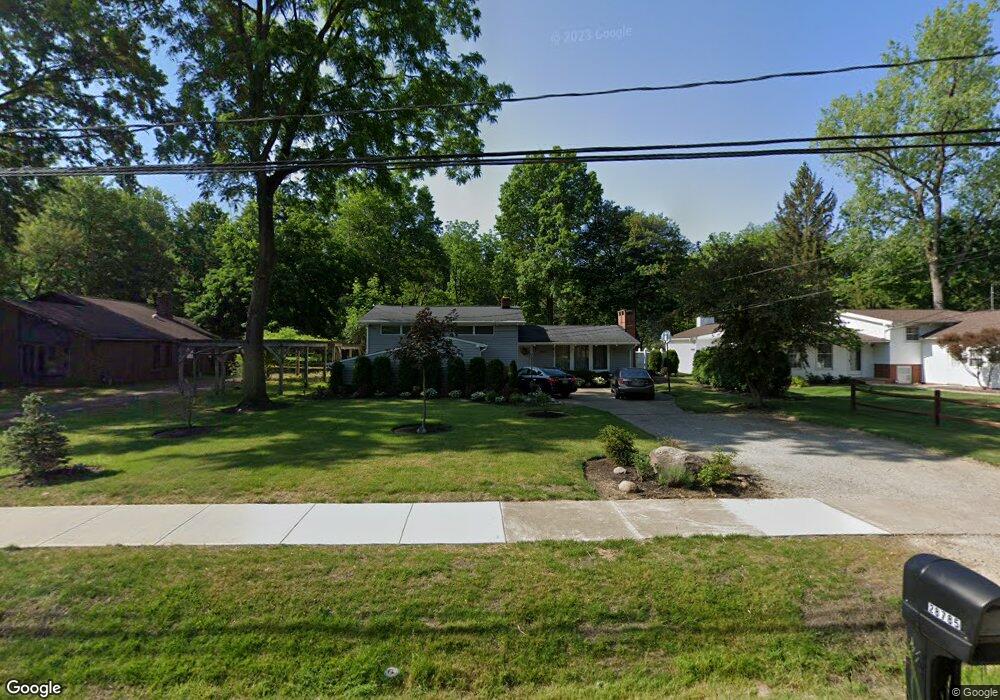
28785 Oring Rd North Olmsted, OH 44070
Estimated Value: $309,565 - $330,000
4
Beds
2
Baths
2,144
Sq Ft
$150/Sq Ft
Est. Value
About This Home
This home is located at 28785 Oring Rd, North Olmsted, OH 44070 and is currently estimated at $321,891, approximately $150 per square foot. 28785 Oring Rd is a home located in Cuyahoga County with nearby schools including Pine Intermediate School, Chestnut Intermediate Elementary School, and North Olmsted Middle School.
Ownership History
Date
Name
Owned For
Owner Type
Purchase Details
Closed on
Jul 14, 1999
Sold by
Lopriore Justin and Lopriore Janet M
Bought by
Wagner Clifford G and Wagner Karen Y
Current Estimated Value
Home Financials for this Owner
Home Financials are based on the most recent Mortgage that was taken out on this home.
Original Mortgage
$120,000
Outstanding Balance
$33,268
Interest Rate
7.43%
Estimated Equity
$288,623
Purchase Details
Closed on
Aug 21, 1992
Sold by
Lopriore Patrick
Bought by
Lopriore Janet M
Purchase Details
Closed on
Apr 9, 1976
Sold by
Mcgill Julian C and M A
Bought by
Lopriore Patrick
Purchase Details
Closed on
Jan 1, 1975
Bought by
Mcgill Julian C and M A
Create a Home Valuation Report for This Property
The Home Valuation Report is an in-depth analysis detailing your home's value as well as a comparison with similar homes in the area
Home Values in the Area
Average Home Value in this Area
Purchase History
| Date | Buyer | Sale Price | Title Company |
|---|---|---|---|
| Wagner Clifford G | $150,000 | Gateway Title Agency Inc | |
| Lopriore Janet M | -- | -- | |
| Lopriore Patrick | $50,000 | -- | |
| Mcgill Julian C | -- | -- |
Source: Public Records
Mortgage History
| Date | Status | Borrower | Loan Amount |
|---|---|---|---|
| Open | Wagner Clifford G | $120,000 | |
| Closed | Wagner Clifford G | $15,001 |
Source: Public Records
Tax History Compared to Growth
Tax History
| Year | Tax Paid | Tax Assessment Tax Assessment Total Assessment is a certain percentage of the fair market value that is determined by local assessors to be the total taxable value of land and additions on the property. | Land | Improvement |
|---|---|---|---|---|
| 2024 | $6,505 | $94,920 | $14,420 | $80,500 |
| 2023 | $5,755 | $70,460 | $13,410 | $57,050 |
| 2022 | $5,724 | $70,460 | $13,410 | $57,050 |
| 2021 | $5,180 | $70,460 | $13,410 | $57,050 |
| 2020 | $4,754 | $57,260 | $10,890 | $46,380 |
| 2019 | $4,626 | $163,600 | $31,100 | $132,500 |
| 2018 | $4,519 | $57,260 | $10,890 | $46,380 |
| 2017 | $4,421 | $49,670 | $8,750 | $40,920 |
| 2016 | $4,382 | $49,670 | $8,750 | $40,920 |
| 2015 | $4,236 | $49,670 | $8,750 | $40,920 |
| 2014 | $4,236 | $47,740 | $8,400 | $39,340 |
Source: Public Records
Map
Nearby Homes
- 4345 Martin Dr
- 4958 Hampton Dr
- 5032 Devon Dr
- #3 Fifth Ave
- #4 Fifth Ave
- #5 Fifth Ave
- #2 Fifth Ave
- 4553 Porter Rd
- LUCAS TH Plan at Brentwood - Brentwood Townhomes
- LIBBY TH Plan at Brentwood - Brentwood Townhomes
- ABBY TH Plan at Brentwood - Brentwood Townhomes
- 4324 Palomar Ln
- 29852 Lenox Dr
- 30105 Center Ridge Rd Unit A
- 27504 Cottonwood Trail
- 30233 Center Ridge Rd Unit 5
- 5248 W Park Dr
- 30257 Center Ridge Rd Unit 8
- 29053 W Brockway Dr
- 5399 Berkshire Dr
- 28813 Oring Rd
- 28757 Oring Rd
- 28841 Oring Rd
- 28725 Oring Rd
- 28786 Oring Rd
- 28814 Oring Rd
- 4545 Lansing Dr
- 4529 Lansing Dr
- 4565 Lansing Dr
- 4487 Lansing Dr
- 4530 Martin Dr
- 4550 Martin Dr
- 4585 Lansing Dr
- 4473 Lansing Dr
- 4605 Lansing Dr
- 4570 Martin Dr
- 4504 Martin Dr
- 4459 Lansing Dr
- 4584 Martin Dr
- 4480 Martin Dr